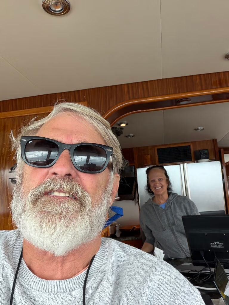
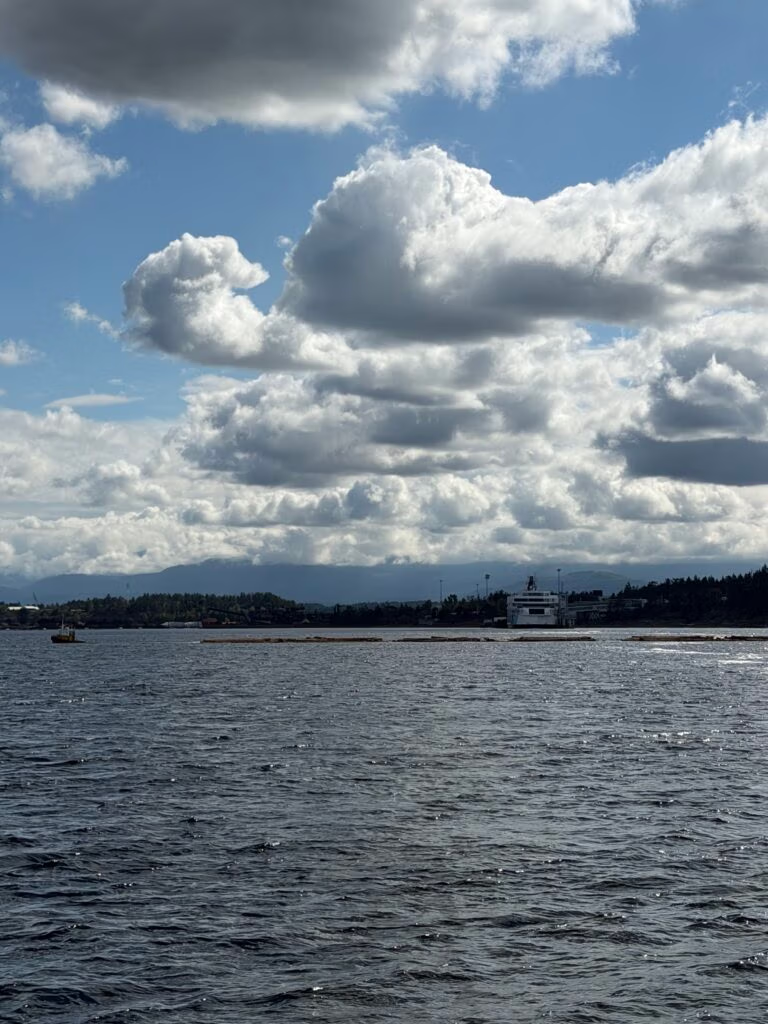
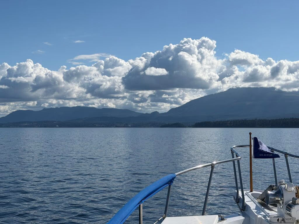
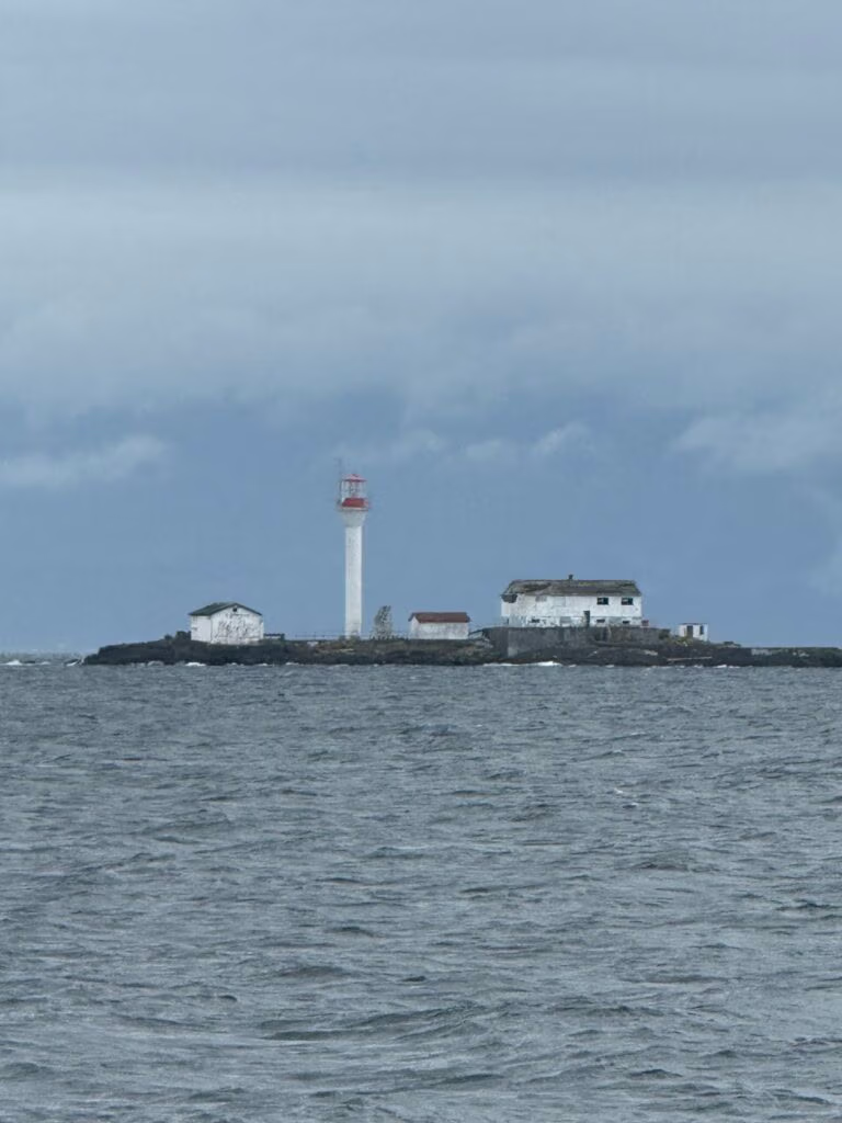
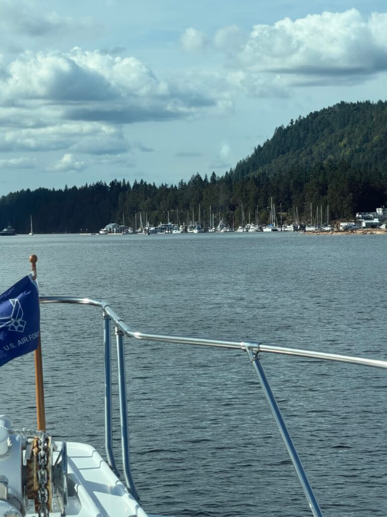
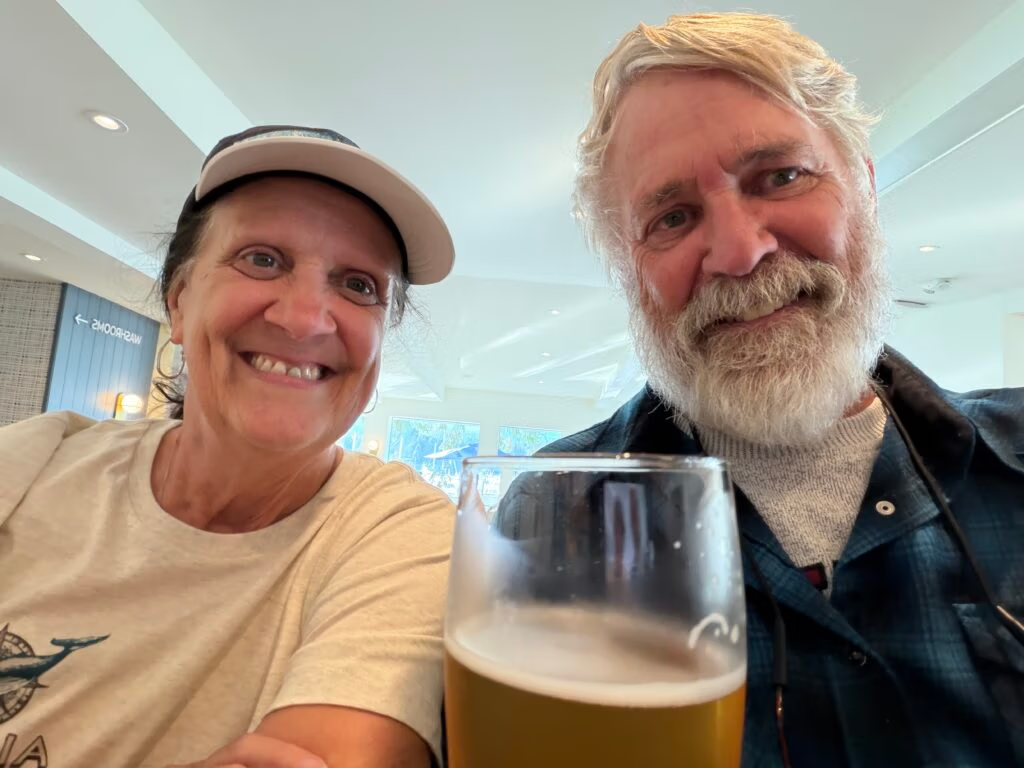
August 2026 British Columbia

August and September, British Columbia 2026

Blind Channel to Port McNeill

We left Blind Channel just after 6:30 in the morning, hoping to catch a favorable tide as we headed up Johnstone Strait, a major boating route along the northeast coast of Vancouver Island. What followed was a full day on the water: sunshine gave way to rain, then cloud, then clear skies again, and by the time we pulled into Port Richey, the whole crew was ready to tie up and breathe a little easier.
By late morning, around 11:30 or 12:00, we finally succeeded in parking the boat. The first try put us at the wrong dock, but after a bit of maneuvering we slipped in between two other boats and made ourselves secure.
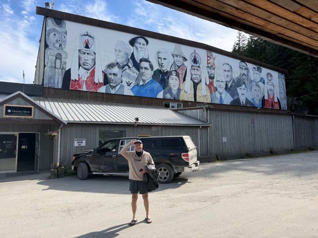
With the boat settled, we went ashore to get the oil and picked up a few supplies at an auto parts store and a grocery store. Everyone seemed upbeat; after a solid day of progress, the mood on board was relaxed and cheerful.
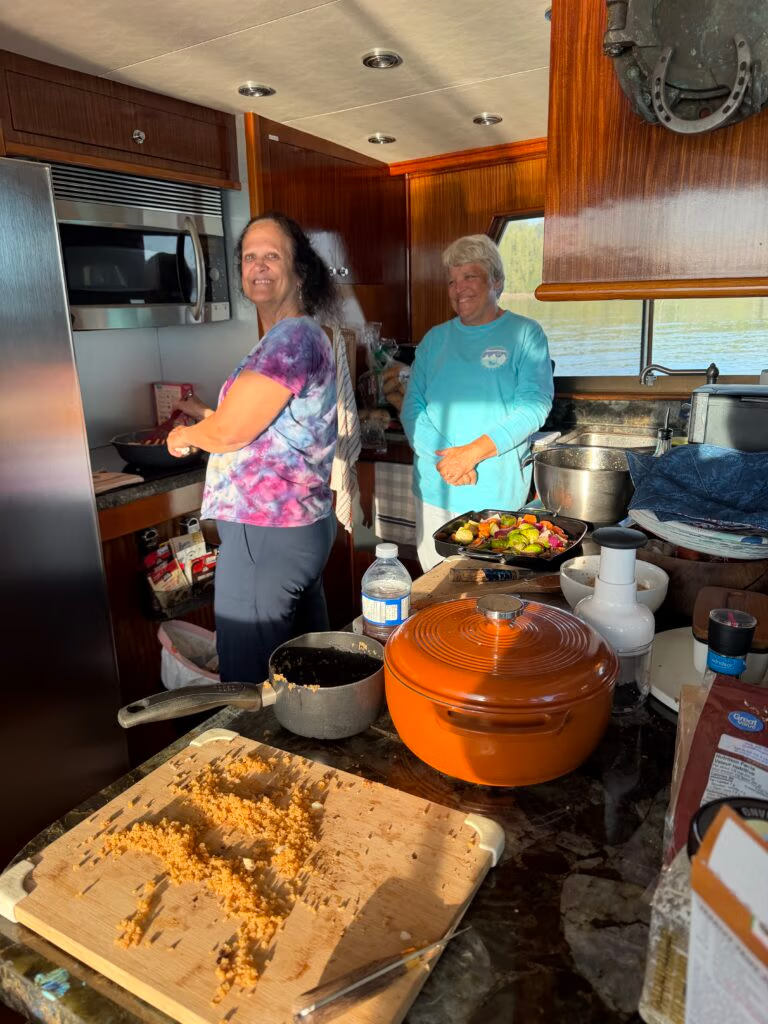
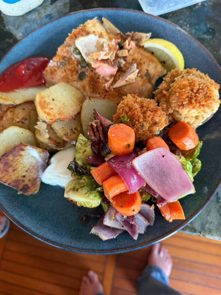
That evening, we drifted back to the boat where Chris had prepared a warm meal of beef stew, along with salad, and it felt like a proper supper after the long run. We shared good conversation into the evening, then turned in for the night, satisfied with the day’s travel and ready for what came next.
The next day would take us out to the sound for the first time, where we would finally experience the real Pacific.

Port McNeill to Penrose Island Marine Park, Fury Cove, 1 August

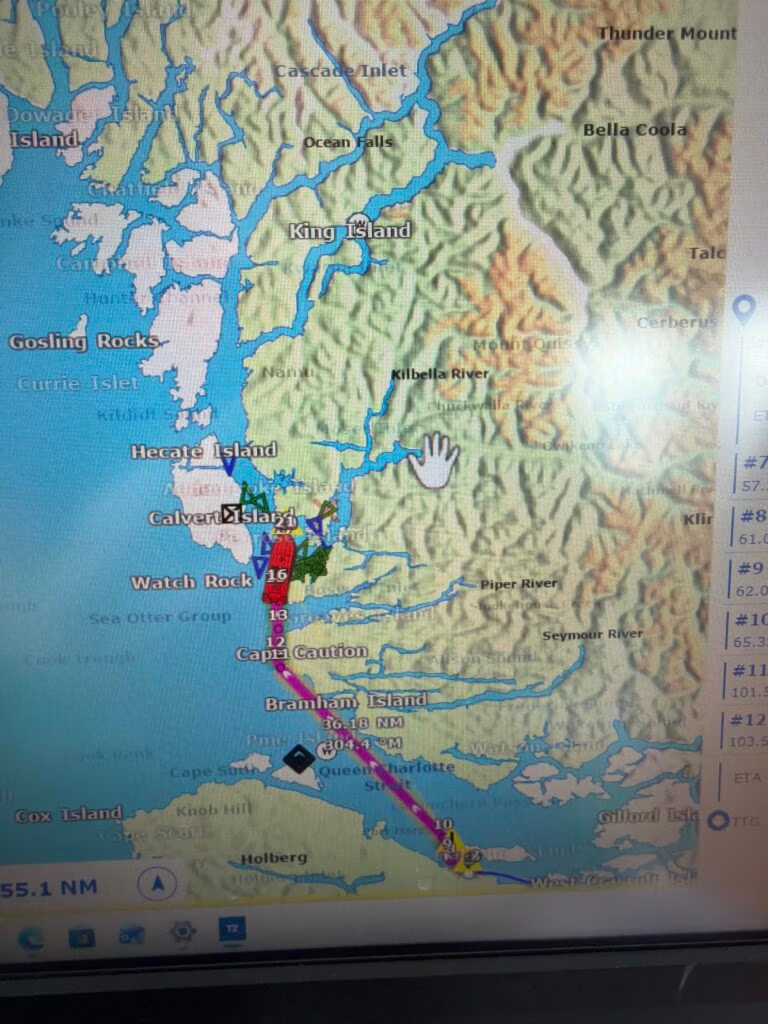
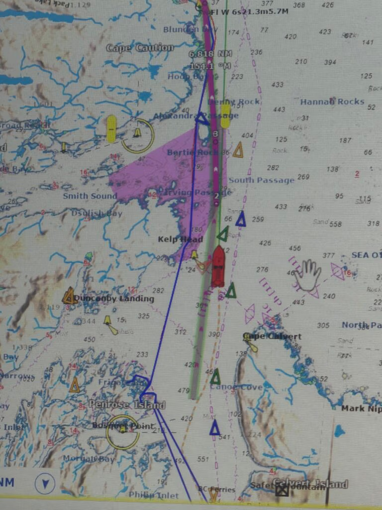
We left Port McNeill just after 6:20 this morning, the kind of early start that makes the whole world feel quiet and waiting. Our destination was Penrose Island Marine Park, all the way up to Furry Cove, and the plan was simple enough at first: cross Queen Charlotte Sound, then decide how far to push on.
Queen Charlotte Sound has a reputation for being no joke, especially when the weather turns, and this crossing had all the ingredients for a day that could have gone either way. But the sea was kind to us, with waves around a meter and about nine seconds apart, and the ride was smooth and easy instead of hard and punishing.

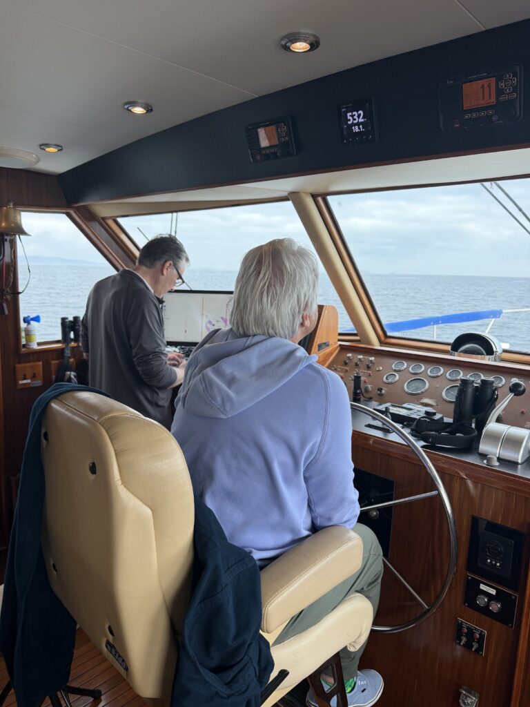
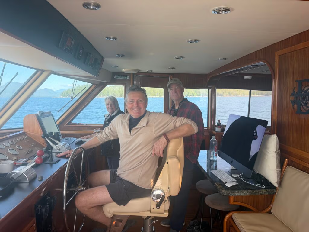
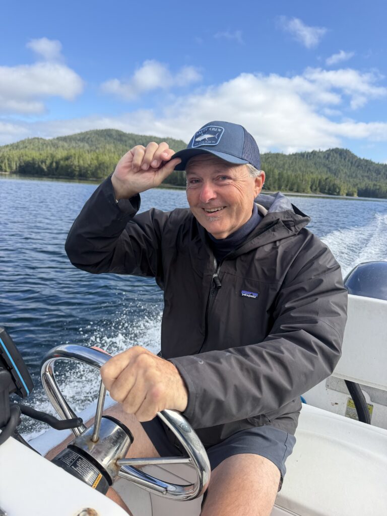
Kris driving for the first time....
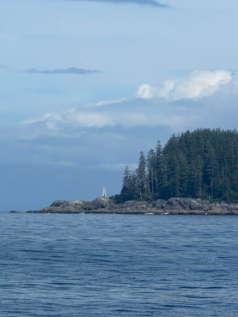
Cape Caution

At first we thought we’d go only halfway, just play it safe and see how things looked on the water. Then the weather held, the sound stayed calm enough, and we made the call to keep going all the way. That turned the day into a longer one, but also the kind of day you remember because everything lines up just right.
Crossing that stretch felt bigger than just getting from one place to another. It was one of those moments I’d read about for years, the sort of passage boaters talk about with a little awe, and now I was actually out there doing it myself.
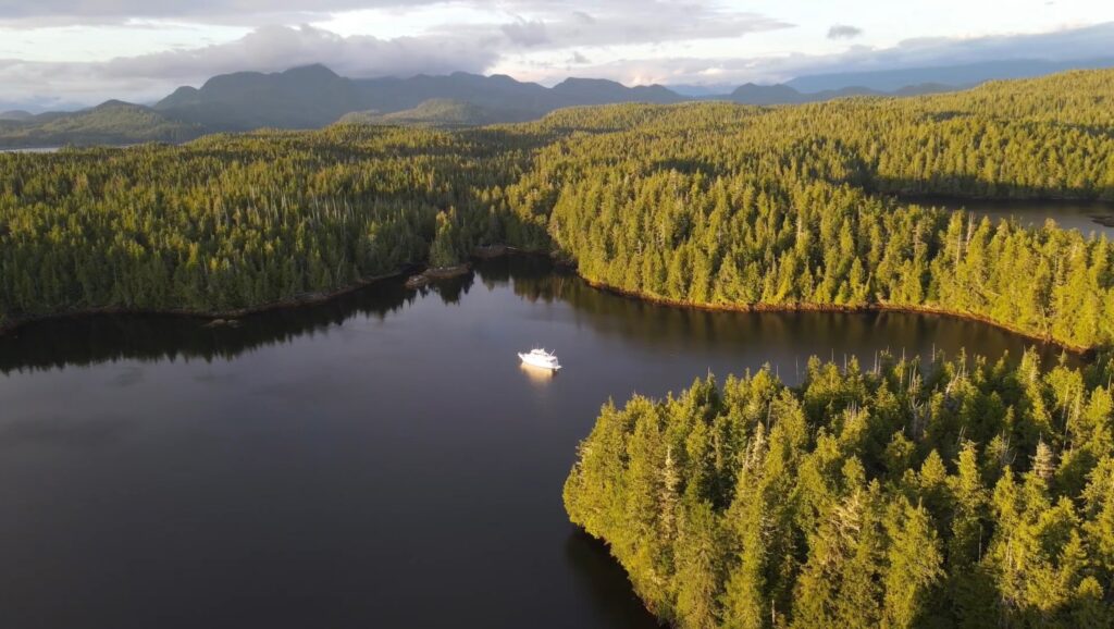
When we finally pointed toward Fury Cove, it felt like arriving somewhere both remote and earned. Penrose Island Marine Park sits in a beautiful, protected spot near Rivers Inlet and Fitz Hugh Sound, and Fury Cove is known as a shelter for boats that make the run past Cape Caution and across the open water.

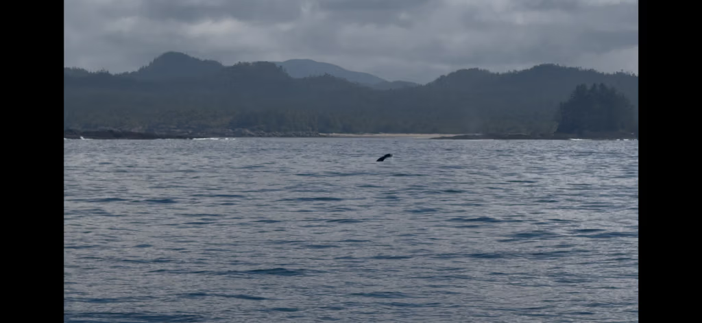
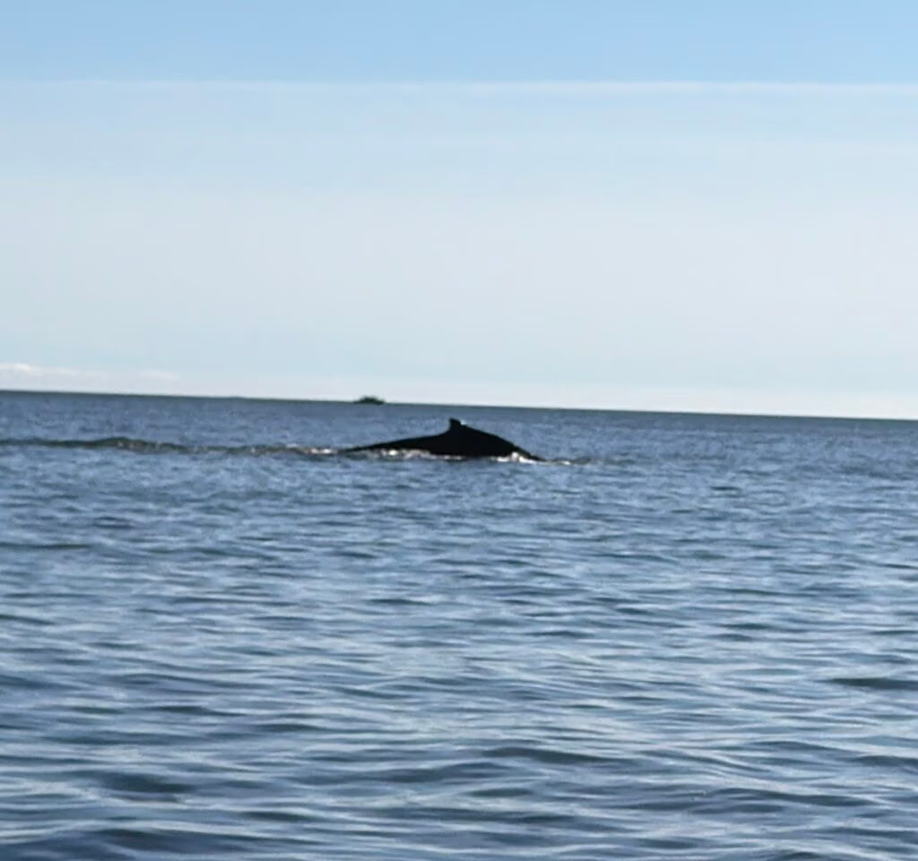
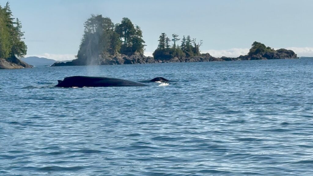
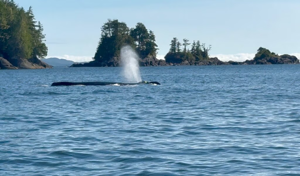
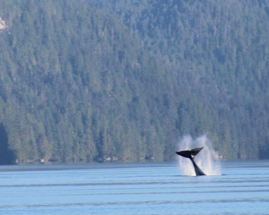
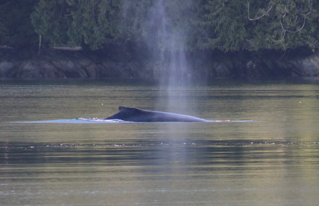
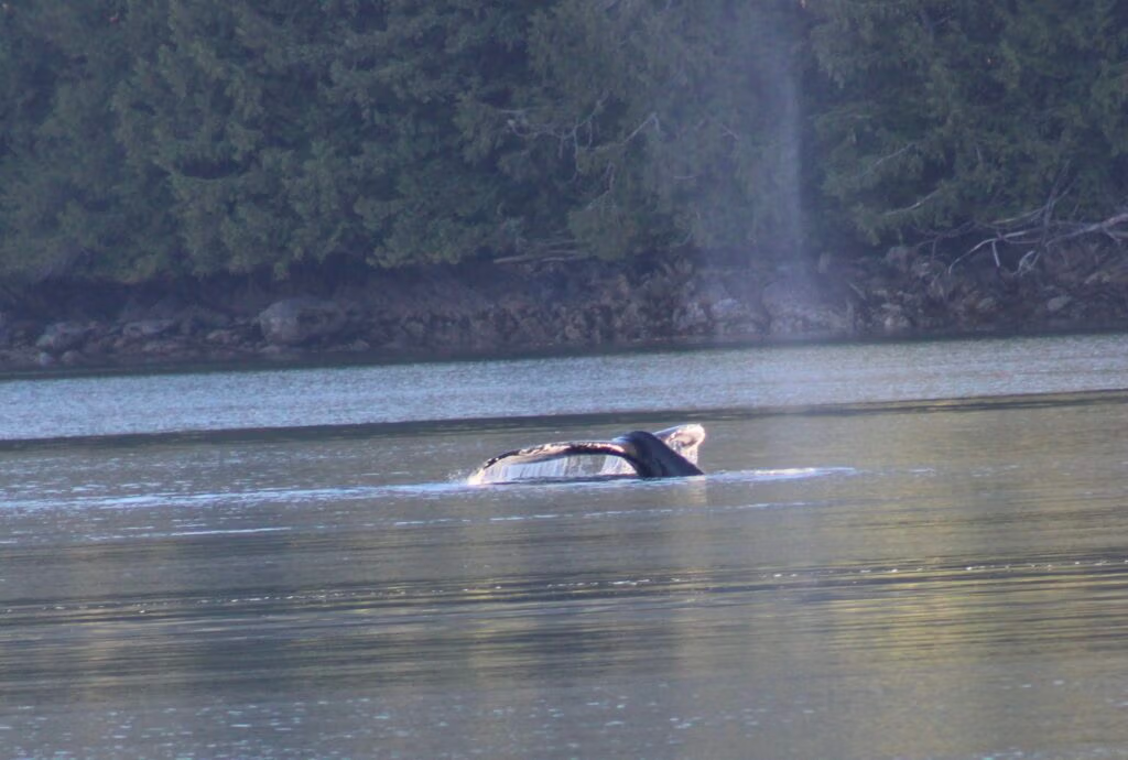
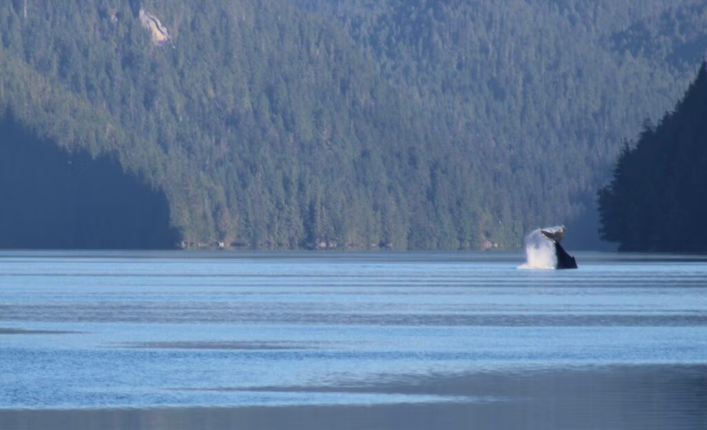
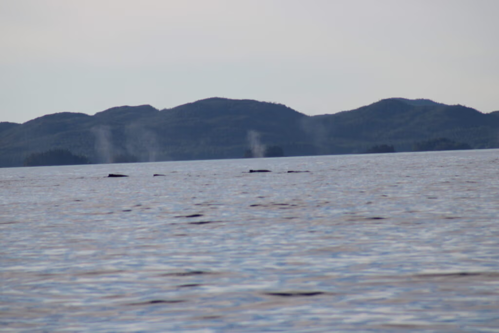
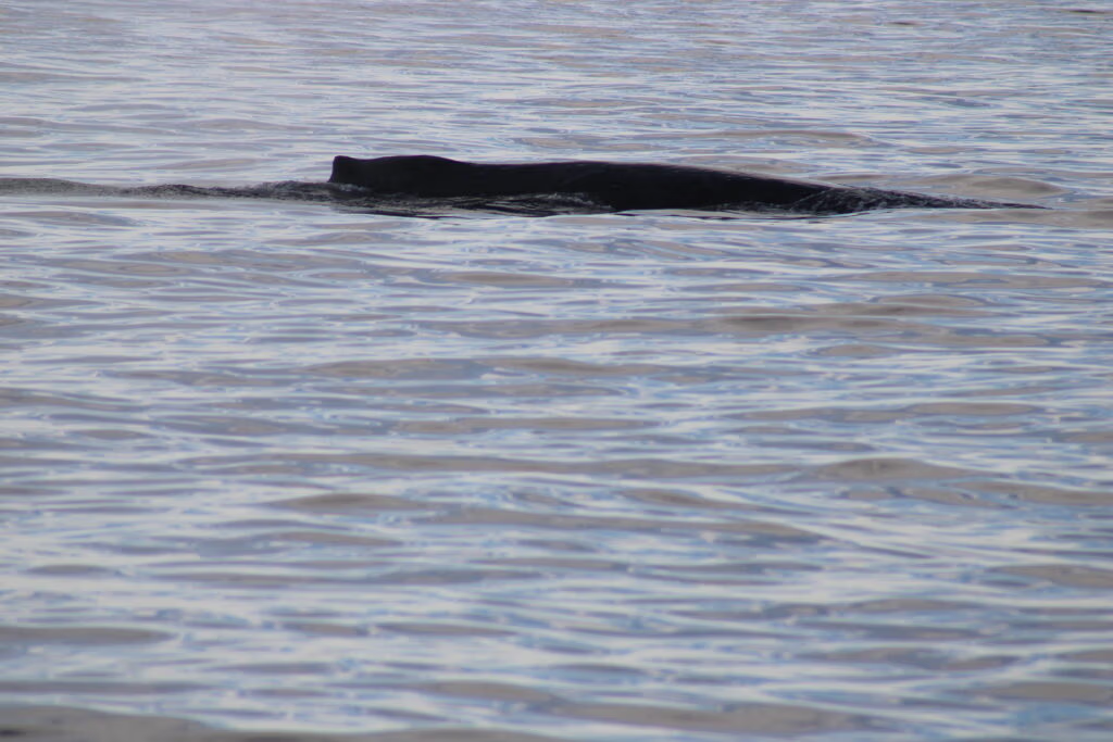
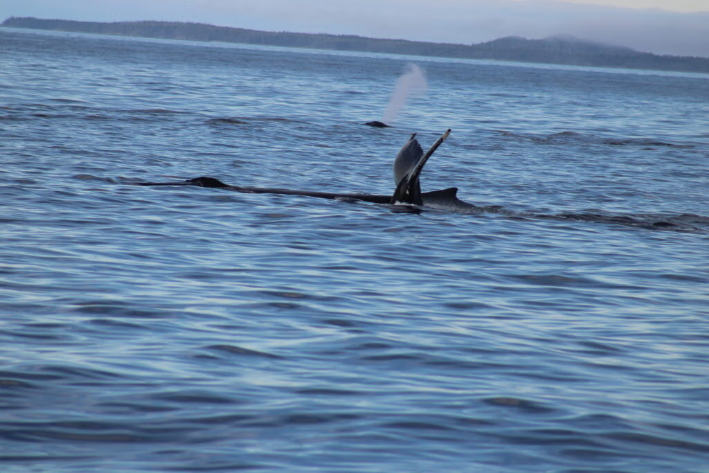
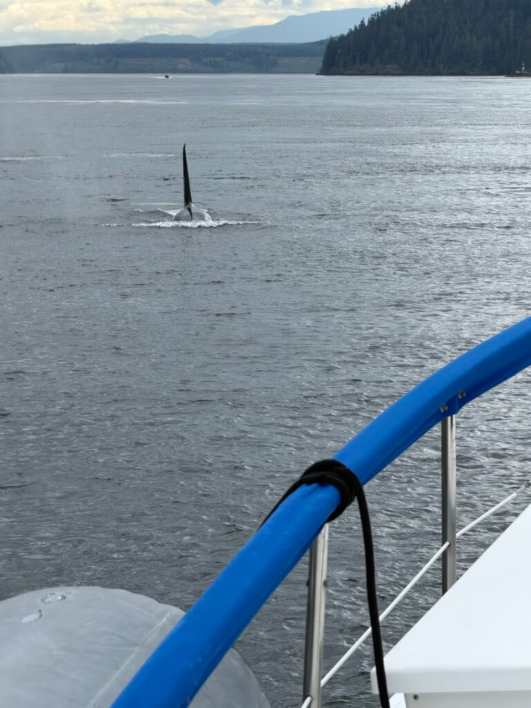
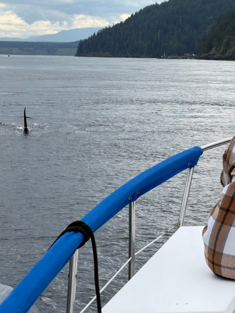
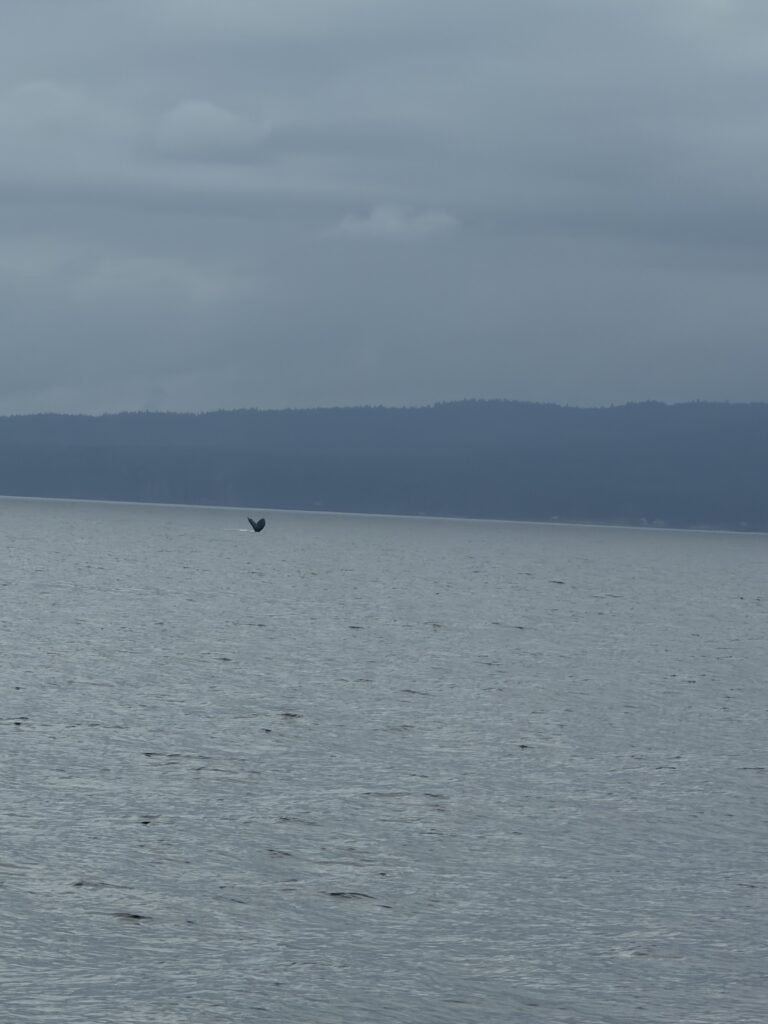
Whales...

I kept wishing Jennifer was there to see it with me. Still, I was glad she was home taking care of Jada, the house, and whatever else life had lined up for her, because someone had to hold down the fort while I went chasing salt water and horizon lines. Sorry, Jennifer.

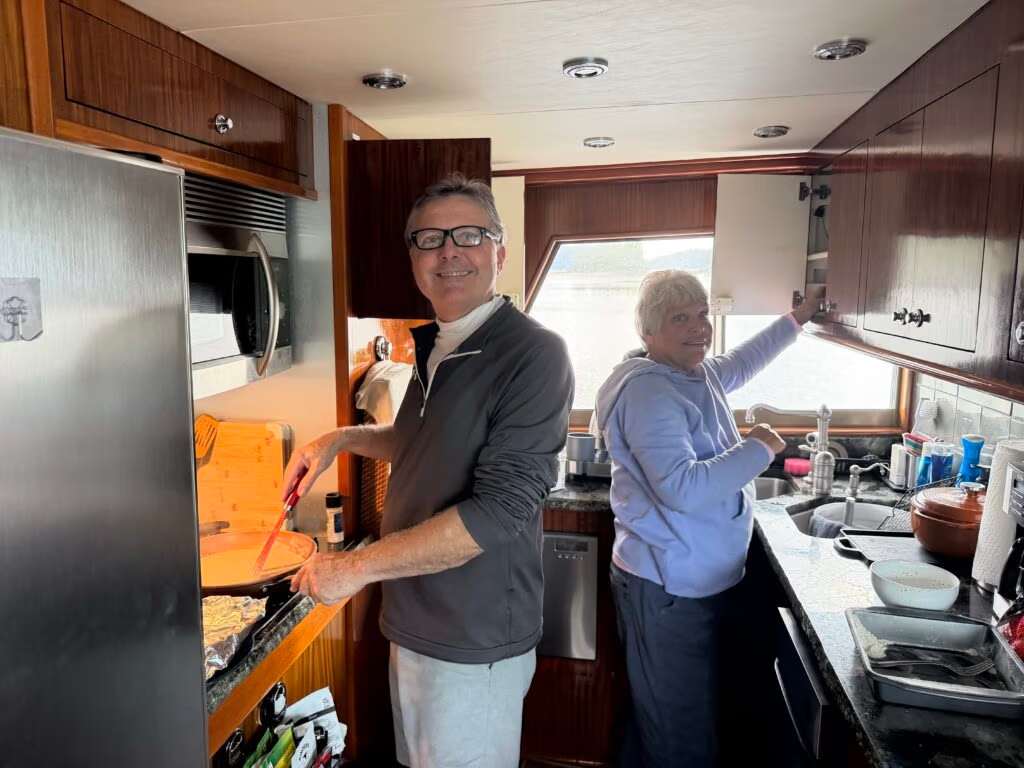
Peter and Khris cooked supper tonight, chicken fried chicken, mashed potatoes, peas....

Fury Cove SNOW DAY

A Quiet Snow Day at Sea
Today unfolded like one of those rare snow days when everyone agrees to slow down, stay put, and let the hours drift by. There wasn’t much on the schedule, and that was part of the beauty of it. The boat settled into an easy rhythm, with a few small jobs getting done here and there, but mostly it was a day for taking it all in and letting the pace stay gentle.
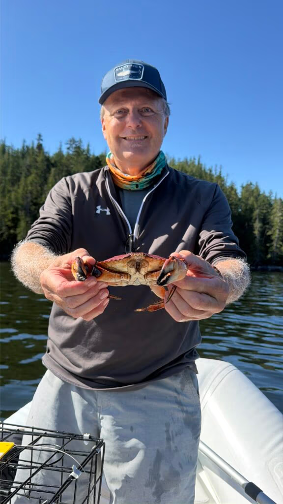
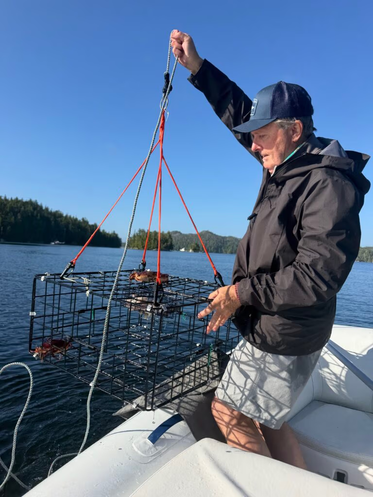
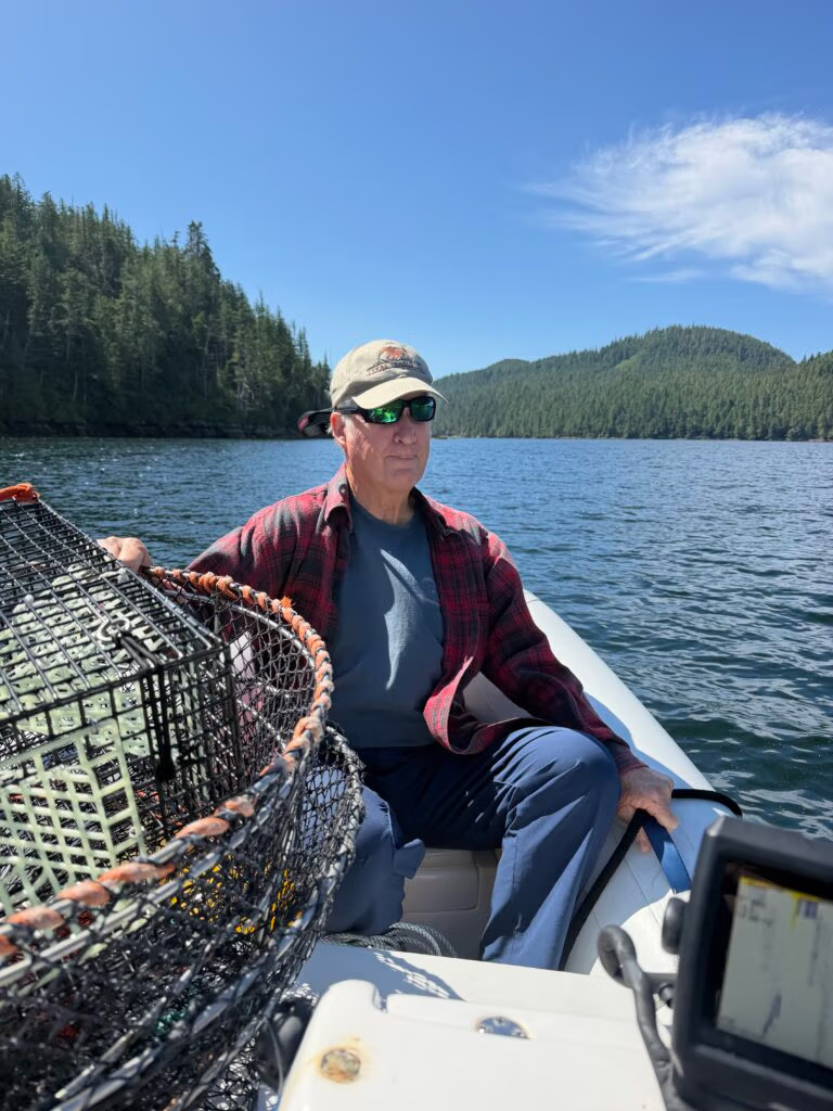
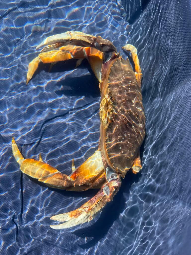
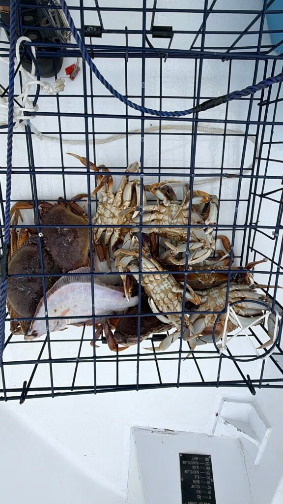
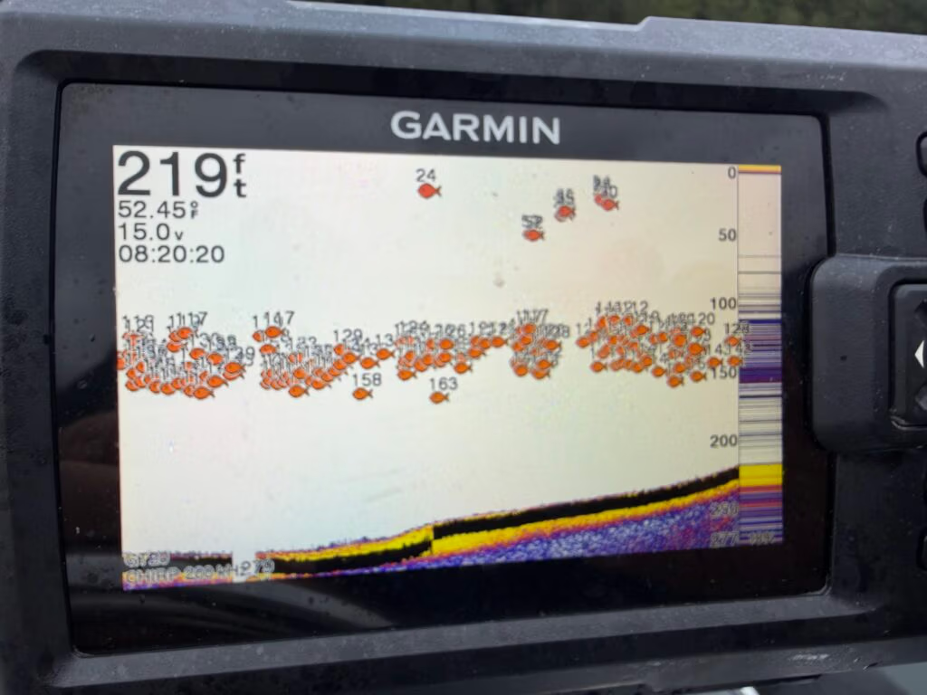
One of the bigger tasks was putting a new fish finder on the tender, along with a handful of odds and ends scattered across the boat. While that was happening, Robert and Khris headed ashore earlier in the morning and wandered around for a while. Peter and I spent the morning setting crab traps, then came back in the afternoon to check them with modest expectations. The traps didn’t amount to much, except for one undersized male rock crab that had to be let go, but even that felt like part of the day’s slow, patient rhythm.
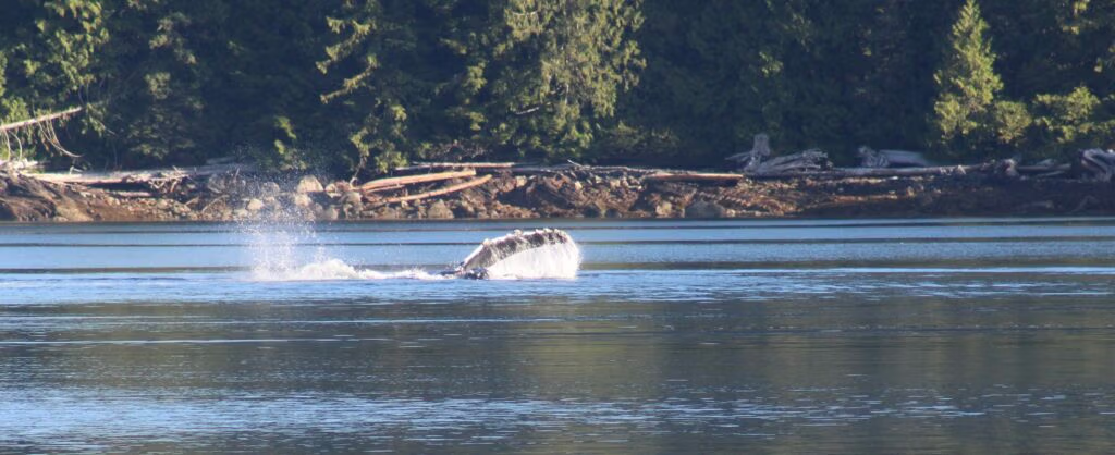
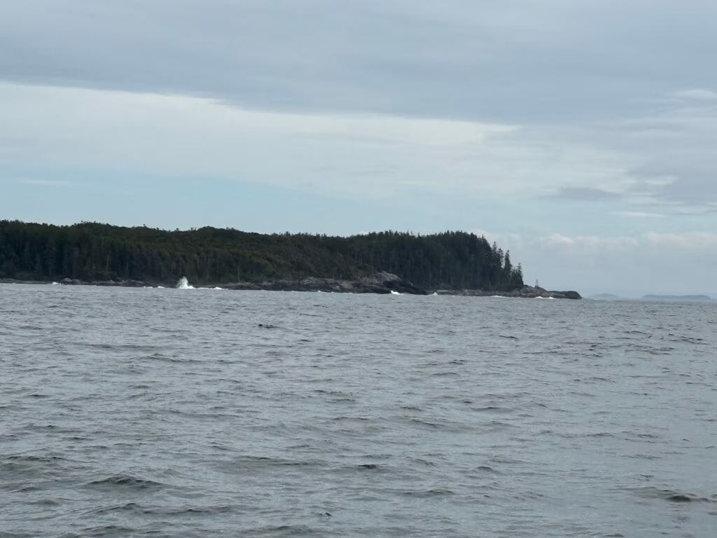
On the way back, we paused near a cove where we had come in earlier, and that’s when the day turned unforgettable. Out of a clear blue stretch of water, two whales suddenly breached right next to us, no more than 30 yards away. They came up more than once, throwing themselves skyward, rolling and blowing and flashing their fins in the air. It was the kind of moment that catches you completely off guard, leaving you startled and awed all at once. For a few seconds, everything else disappeared.
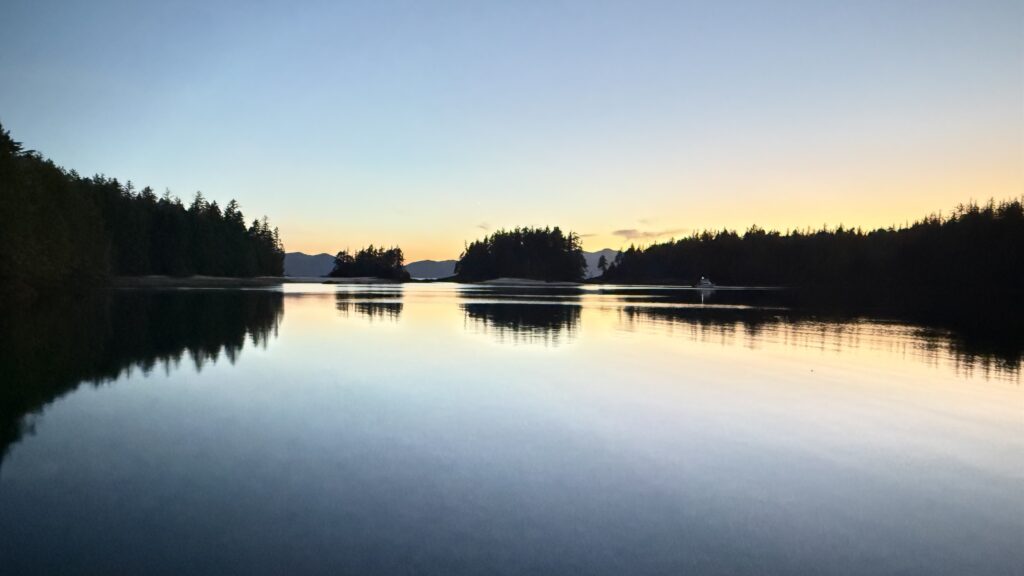
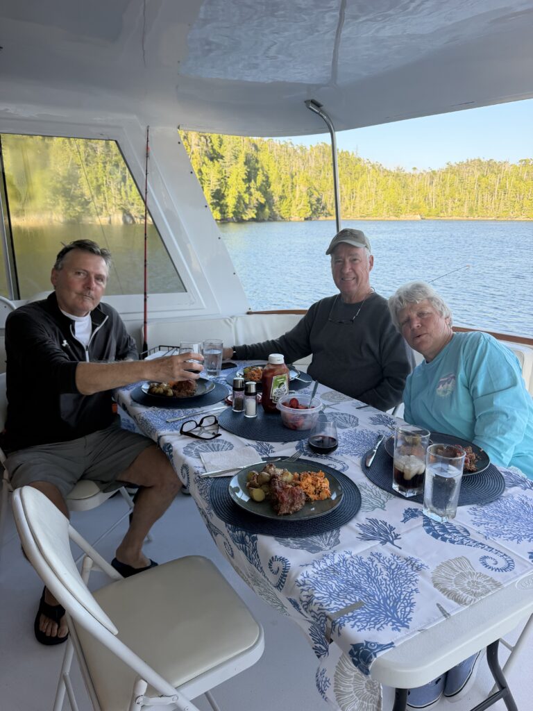
By evening, the day had softened back into calm. Peter cooked Cuban chicken with squash, and we opened a good bottle of Spanish wine to go with it. It was a mellow, easygoing close to a day that asked very little and gave quite a lot. Now the cabin is winding down in the late light, with the sun pouring through the starboard window and warming the inside of the boat. Open the port side door, and the air turns cool; stay on the starboard side, and it’s warm. The whole boat feels caught between two worlds, and the day seems to be drifting gently to an end.  I miss Jennifer….  

Fury Cove to Pruth Bay

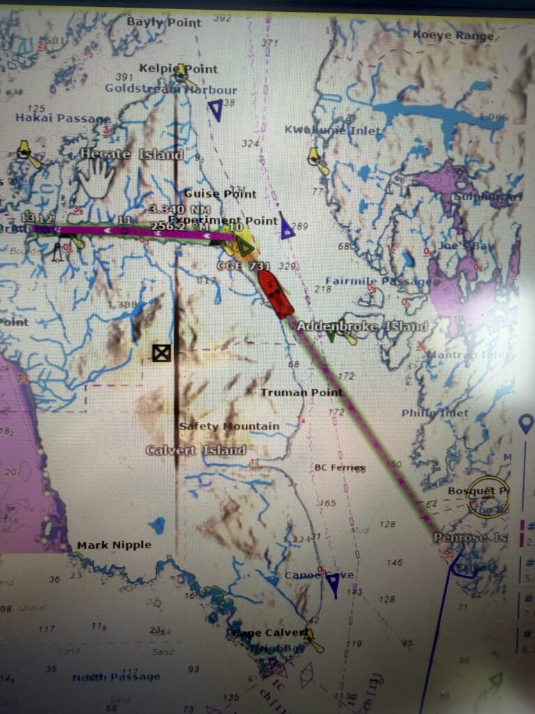
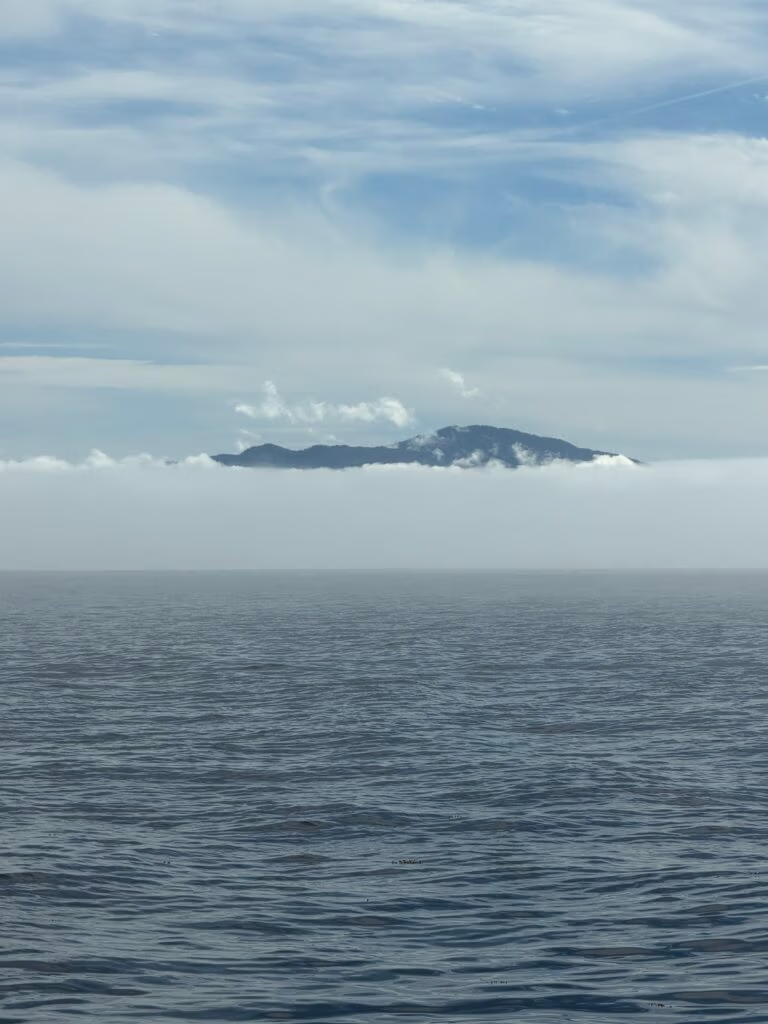
We slipped away from Fury Cove just after 6:30 this morning, greeted by a clear, beautiful dawn and the quiet promise of another day on the water. As we eased out into the open Pacific, sea otters dotted our path and we set a direct course across the wide expanse ahead, settling into the steady rhythm of the journey.


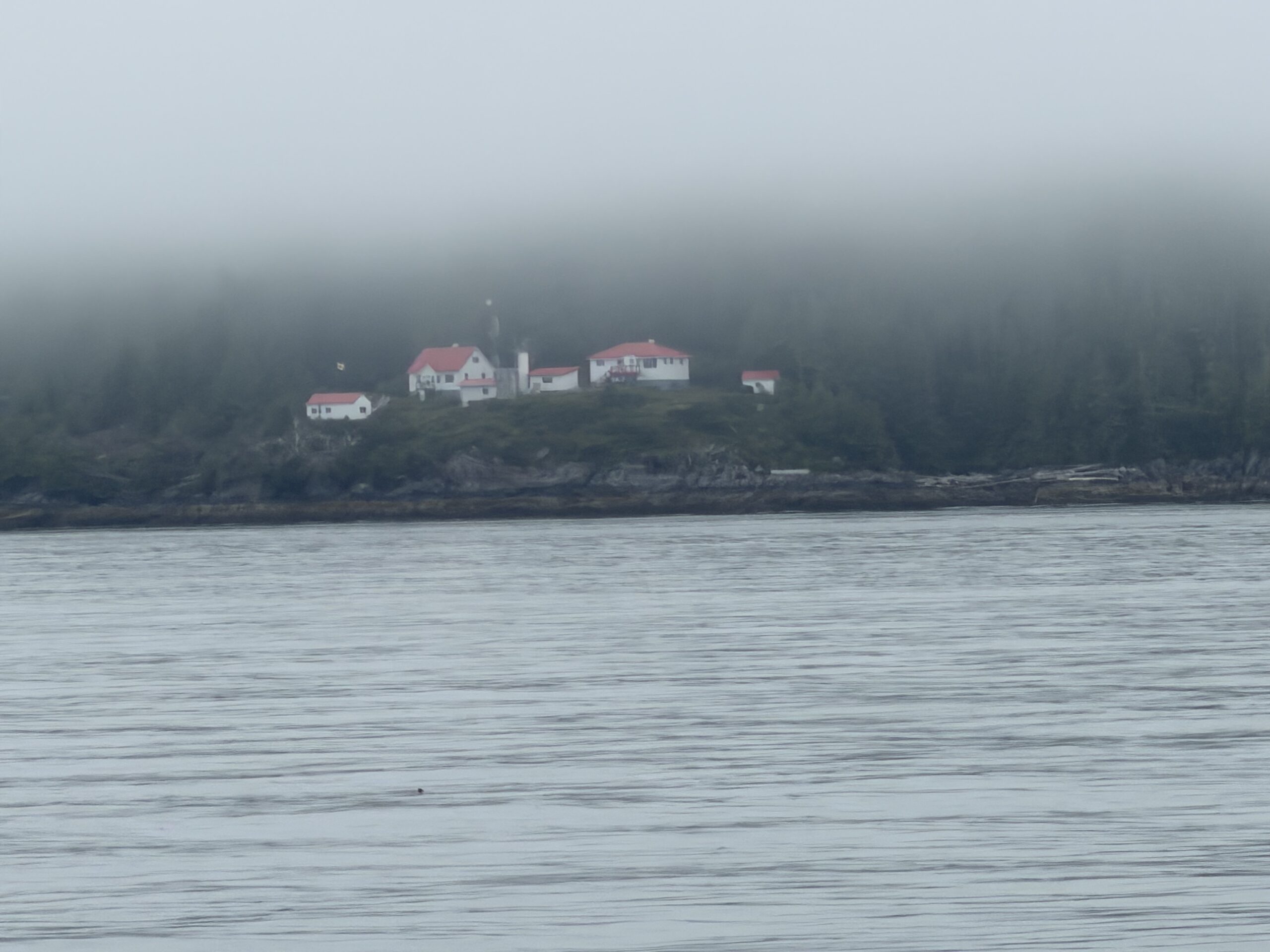
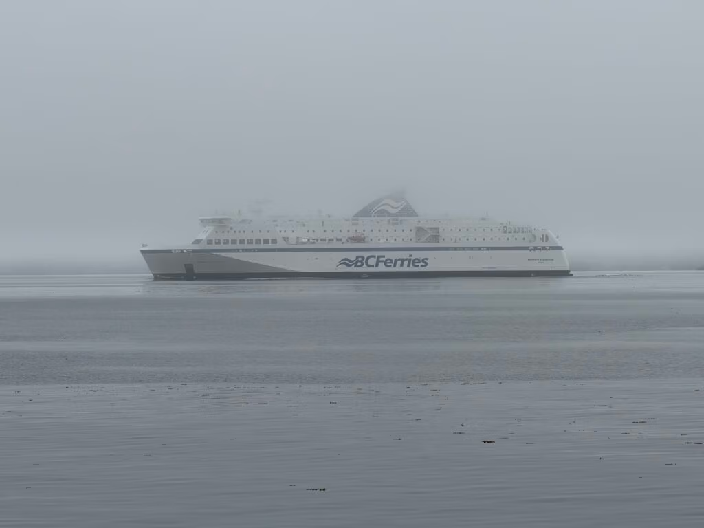
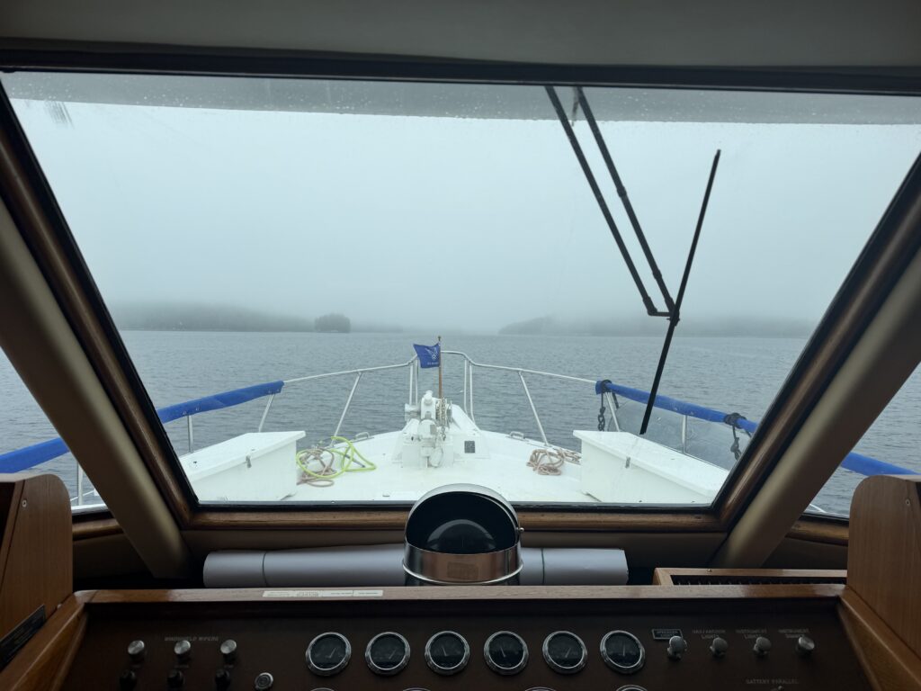
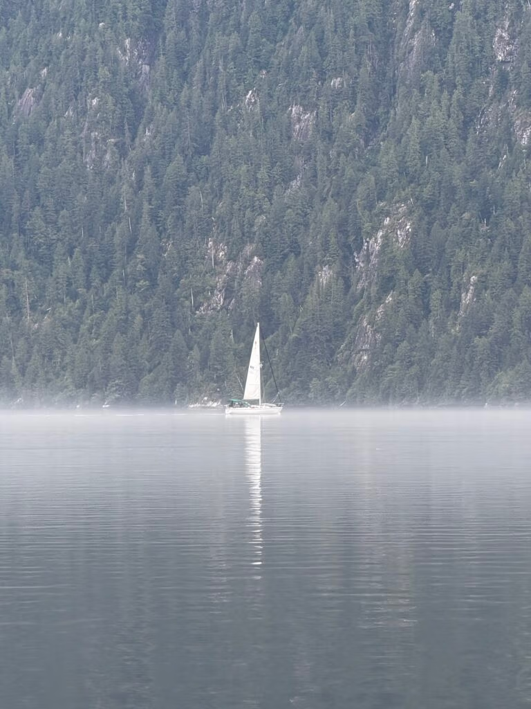
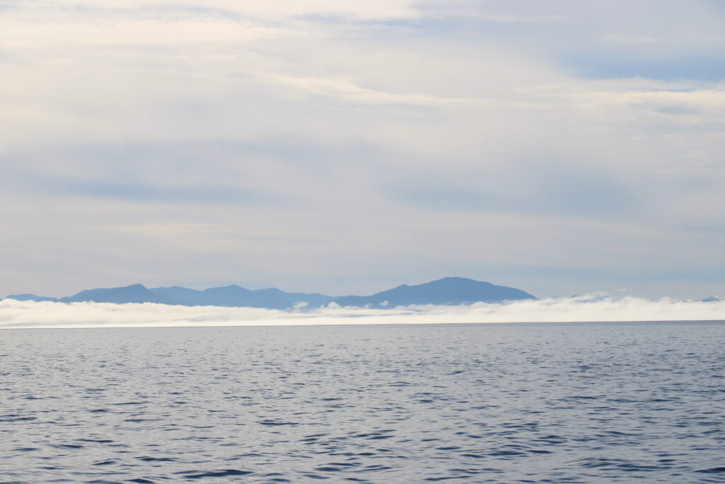
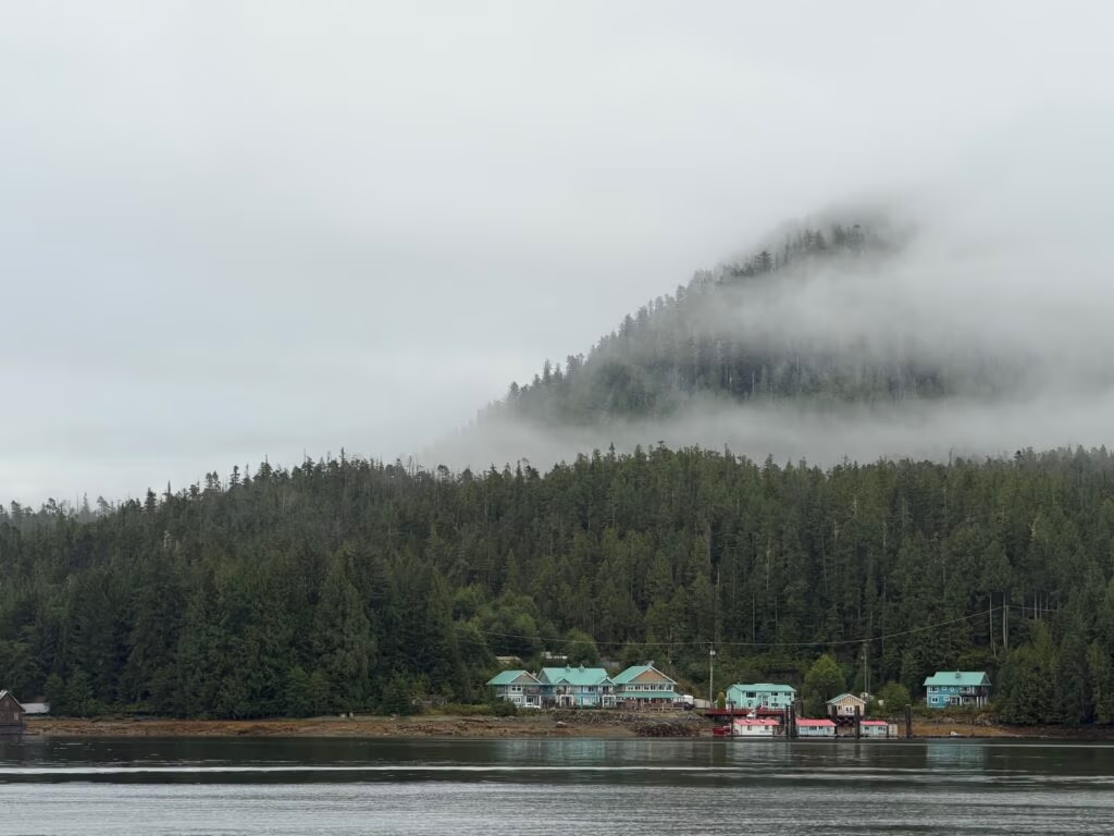
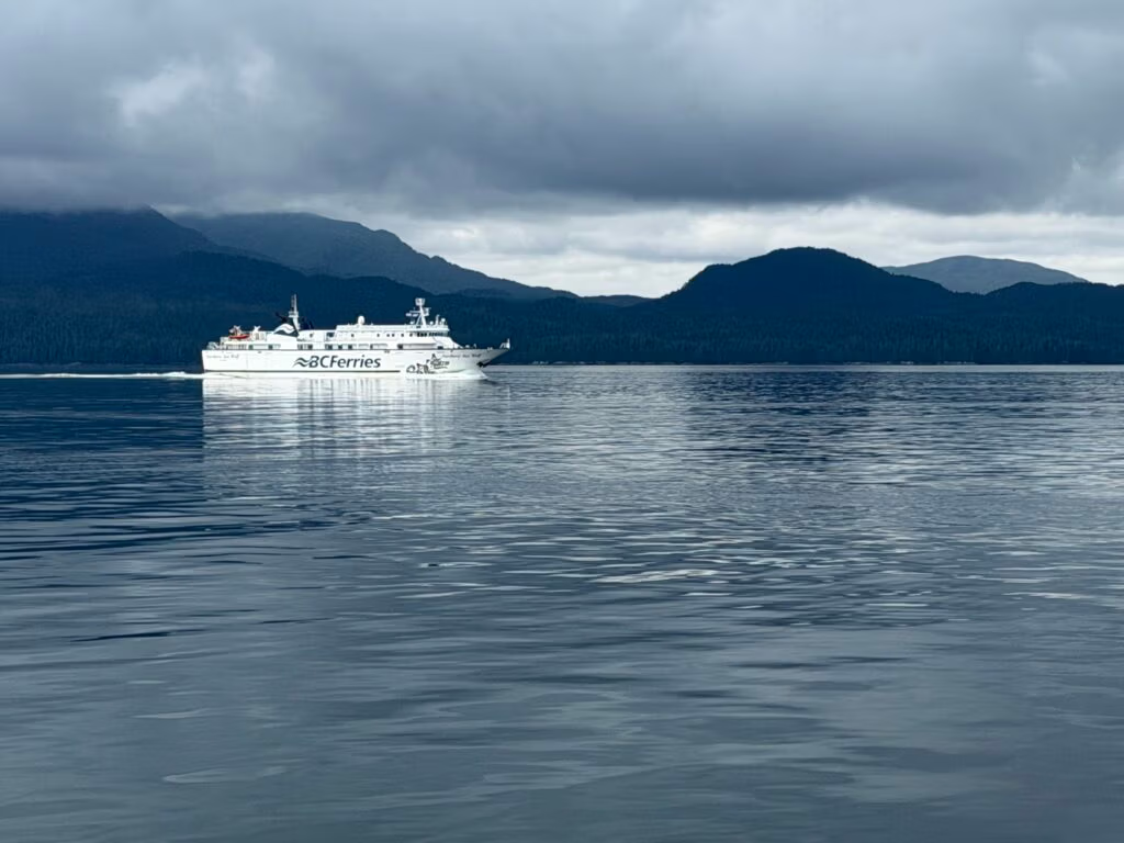
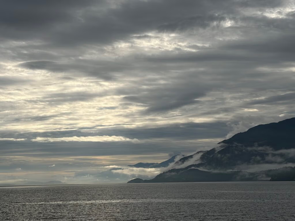
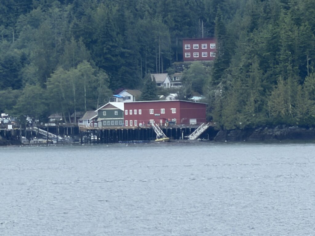
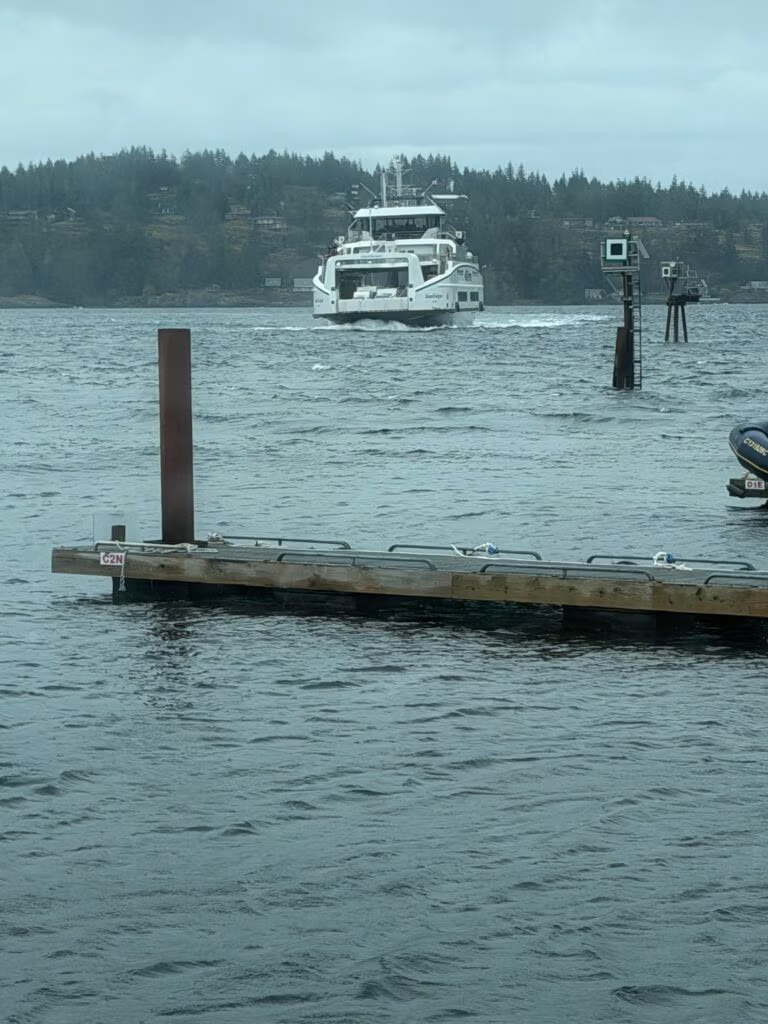
The crossing took about an hour and forty-five minutes to two hours, with the boat humming along at around 7.8 knots. Fog drifted in and then slowly lifted, revealing houses below the cloud line before a BC ferry appeared on our route, sharing the same broad waters for a stretch. When we reached the channel, we swung left and headed into Pruth Bay, a place known for its research station and beautiful coastal surroundings.

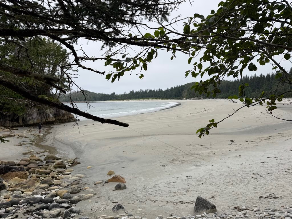
We traveled roughly three miles up Pruth Bay and arrived at the research station at the end, where we set out on a walk across the land to the ocean side of the island. The trail opened onto a stunning sandy beach, warm and inviting, and Peter sent the drone skyward to capture a set of excellent shots of the coastline and surf. 
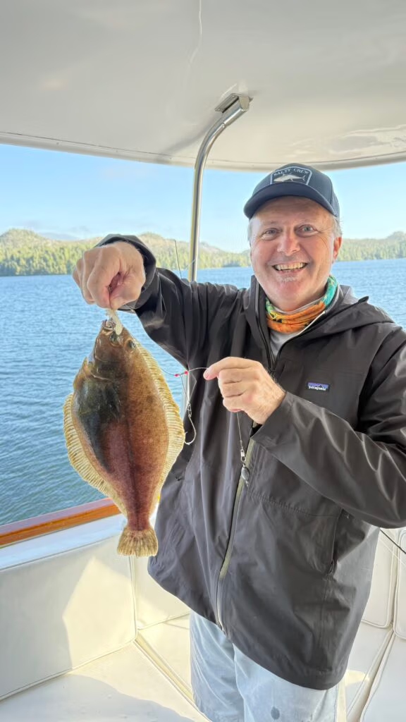
By the end of the day, the adventure had taken on the perfect cadence of a good cruising day: a successful crab trap, Peter and Chris and Robert pulling flounder off the back deck, and Chris finishing things off with meatloaf, potatoes, and carrot slaw. It was the kind of evening that makes a day feel complete — full of motion, good food, and the easy satisfaction of being exactly where you want to be.
Retired and content, everyone settled in for the night with tired smiles and thoughts already turning toward tomorrow’s adventures.

Pruth Bay to Kwakume Inlet

The run along Fitz Hugh Sound
We left Pruth Bay at the head of the east–west Kwakshua Channel, a sheltered anchorage on Calvert Island within the Hakai Luxvbalis Conservancy. From there, we threaded out into Fitz Hugh Sound and made for Kwakume Inlet, the little pocket of water tucked between Rivers Inlet and Namu on the Central Coast.
About an hour and a half on the water gave us time to settle into the rhythm of the passage. The day was “uneventful” in the best boating sense: no drama, just sea, sky, and the low thrum of the engine as you crossed familiar blue.
Whales off the port bow…
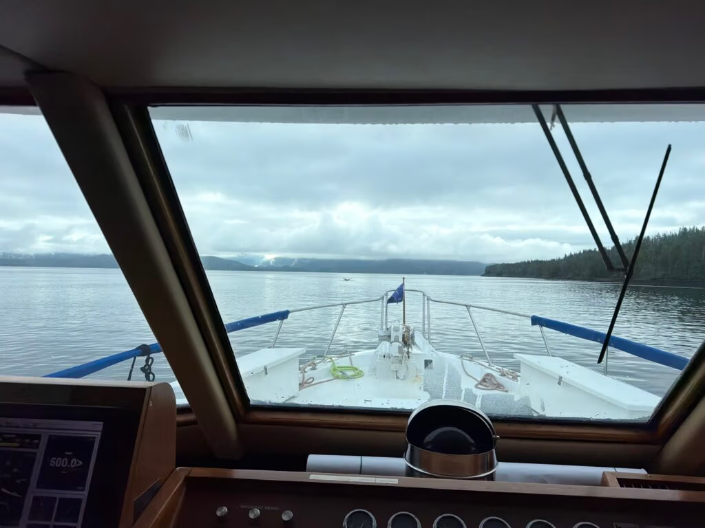
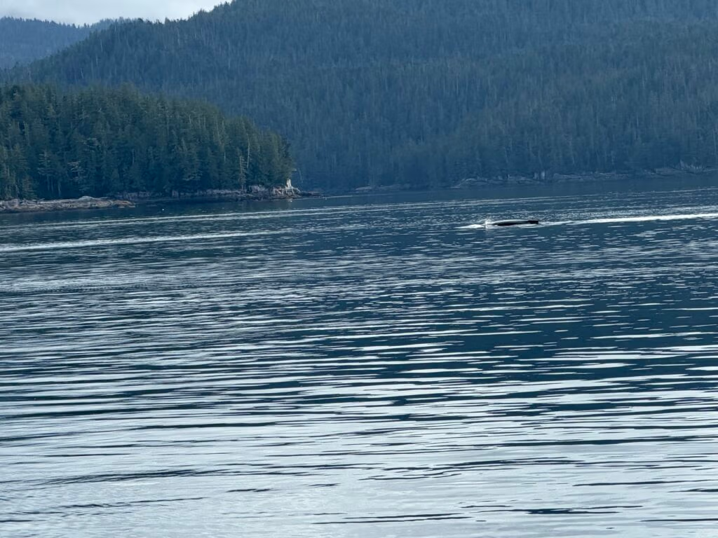
Then came the highlight: two whales sighted off the port side, one of them close enough to make the moment stick. In these waters, that could be anything from humpbacks to orcas, but the specifics matter less than the feeling—sudden stillness on deck, eyes locked on the blow and the roll of a dark back, the shared glance among crew that says, there they are. It’s the kind of wildlife encounter that defines trips like this, right up there with eagles wheeling overhead and the constant sense of being in a living seascape.
Into Kwakume Inlet: “a little dicey”
Kwakume’s entrance is known for being tight, with a drying rock about 200 metres west of the mouth that most skippers keep to starboard. Depths inside are good—around 7 to 10 metres—and the holding is sound, making it a secure anchorage once you’re through.
Crab traps, odd jobs, and the rhythm of anchorage
Once anchored, Robert and Peter put out the crab traps and checked the area, while the rest of us tackled the endless list of boat-life chores: fixing, squaring things away, cleaning, making the vessel feel like home again after a passage.
In BC tidal waters, recreational crabbing comes with rules—limits on traps, size and sex restrictions for Dungeness and red rock crab, and the requirement that traps be properly marked with your name on a buoy. 

Supper with good friends
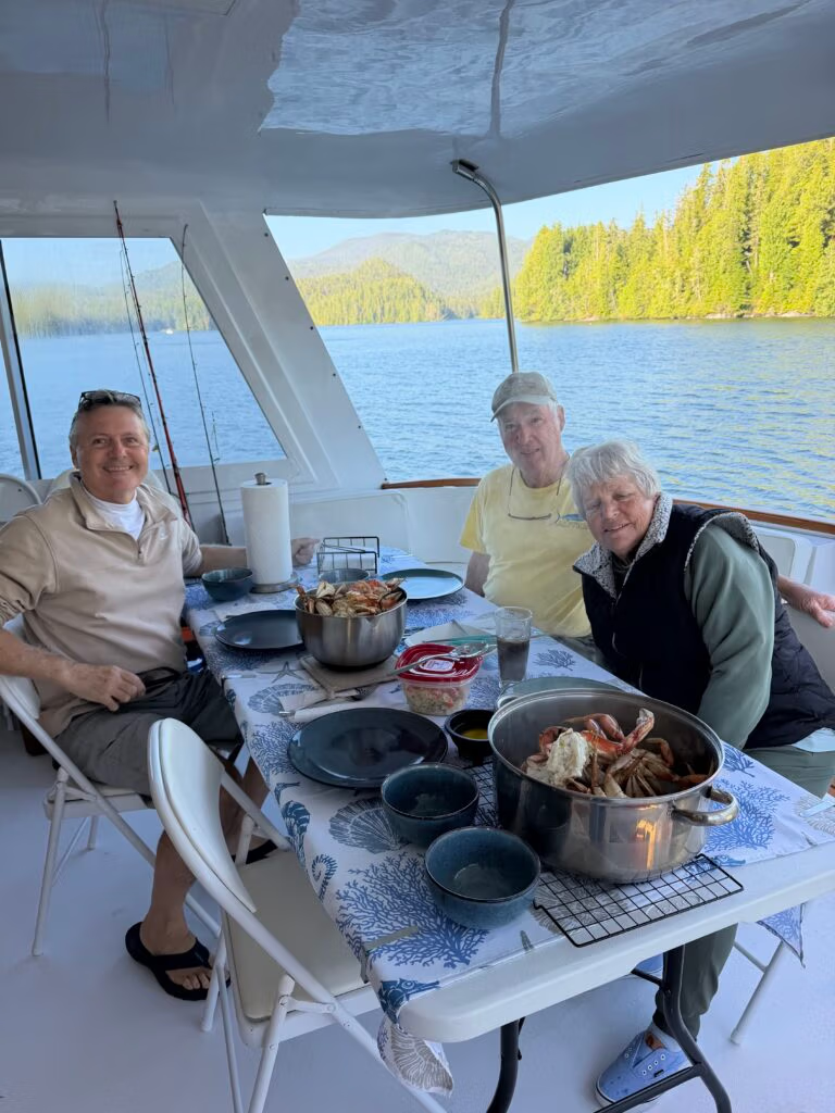
That evening, we cooked crab we’re caught the day before at Pruth Bay. There’s a particular satisfaction to that: food earned by your own effort, shared with friends in a quiet anchorage, the boat gently tugging at its hook as mountain and sea views close in around us. It was a lovely supper and a wonderful meal—and on trips like this, the food is as much about the company and the setting as it is about what’s on the plate.
Looking ahead—and missing someone
The day closed with that forward-leaning feeling that makes cruising addictive: wondering where tomorrow’s seas will take us, what the next anchorage will look like, what the next wildlife moment will be. And threaded through it, a quiet note of absence: “Just wish Jennifer was here.”
That line gives the story its heart. It’s not just a log entry about miles and crab and a tight inlet; it’s a memory being made in a place you love, with the awareness that it would be even better if one more person were sharing it.

Photo by Peter Cox
Is there supposed to be water around our feet?
Peter's first Crab Fest....

Kwakume Inlet to Namu Bay

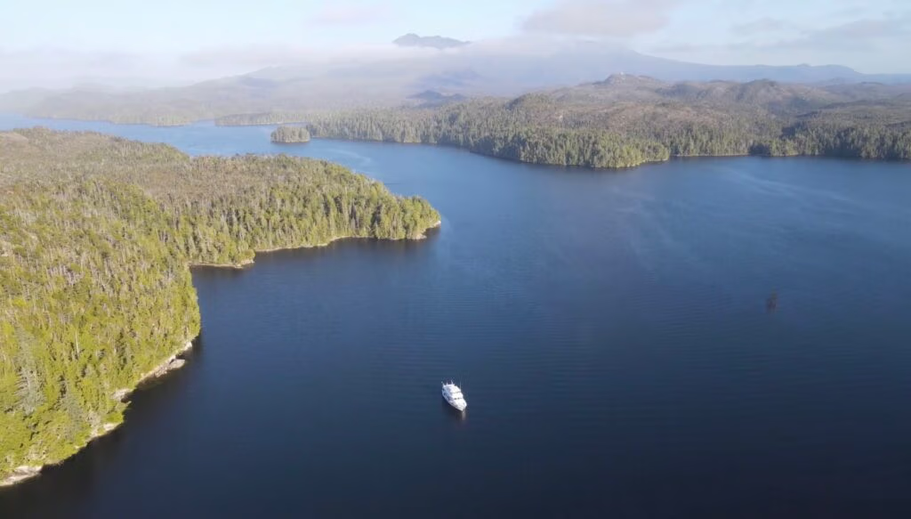
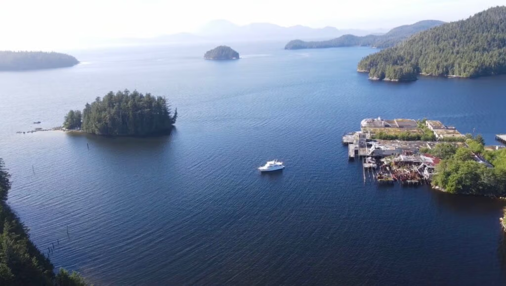
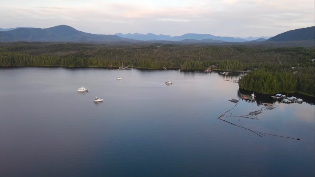
Peter sent up the drone and took this pic....
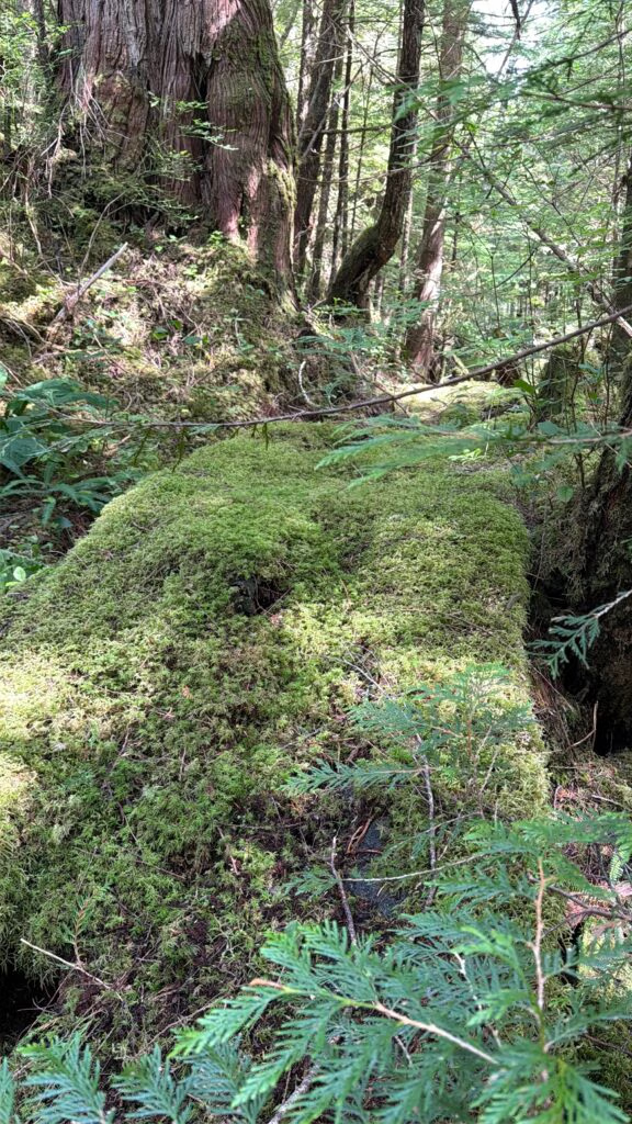
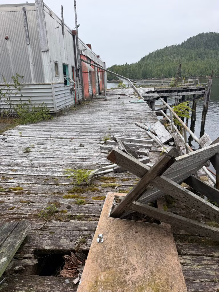
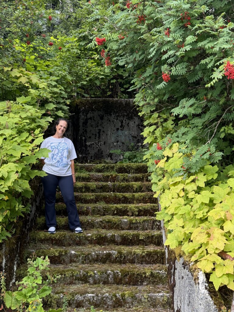
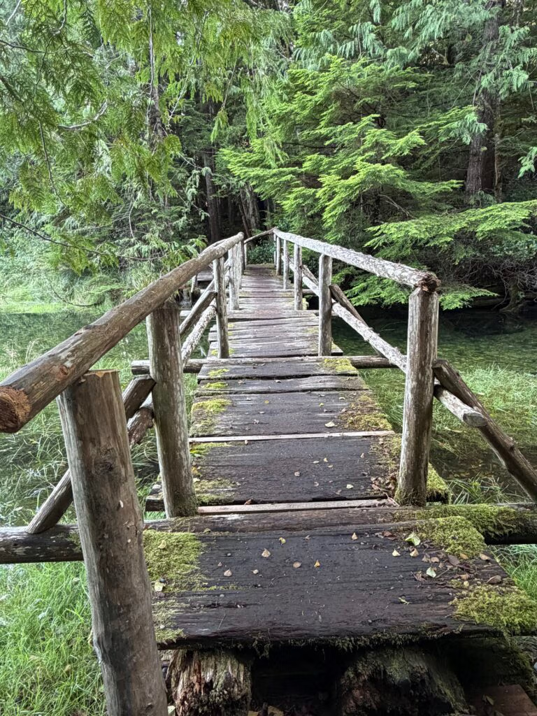
This was once a walk way, from the cannery to the lake but is now covered over with moss and decaying

(1) We left early, after a delicious breakfast of sun shine eggs—the kind that catch the morning light—and headed out into a remarkably calm day. The water was smooth, the air quiet, and whales appeared along the way, surfacing here and there as though escorting us toward Namu Bay.
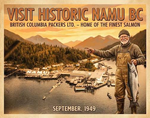
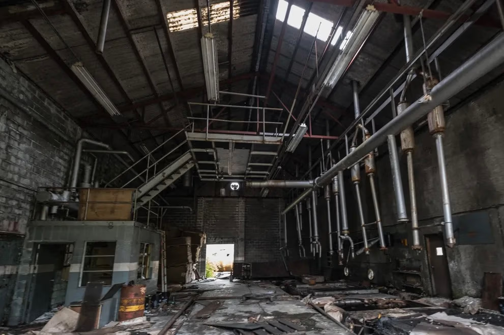
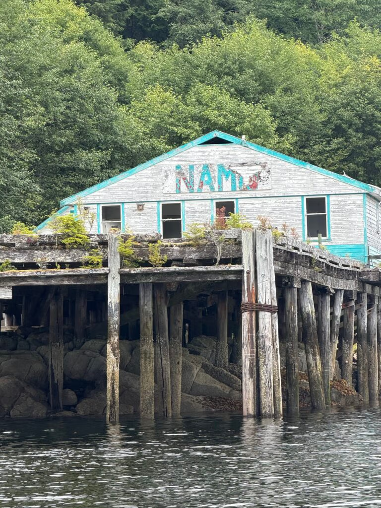
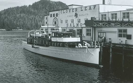
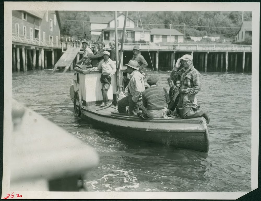
Namu has a long and complicated history. A cannery was established there in 1893, and a sawmill followed in 1909 to provide lumber and build the boxes used to ship canned salmon. B.C. Packers bought the operation in 1928 and expanded it into a substantial industrial community, complete with processing lines, warehouses, bunkhouses, a school, a recreation hall, and residences. At its height, as many as 400 people worked there, and the summer population could swell far beyond that. A fire destroyed much of the cannery in 1962, but it was rebuilt the following year.


(2) The cannery closed around 1969 or 1970, while cold-storage operations continued until 1988; after that, Namu was largely abandoned.
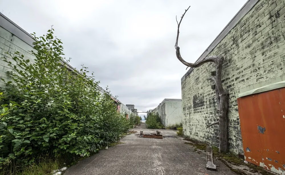
We arrived at Namu and spent much of the day exploring the old cannery. The vacant buildings stood around us in various stages of collapse, their weathered boards and rusting machinery bearing witness to the life that had once filled this place. We wandered through what remained, looking into empty rooms and along the old passages, trying to imagine the noise and motion that must once have defined the settlement.


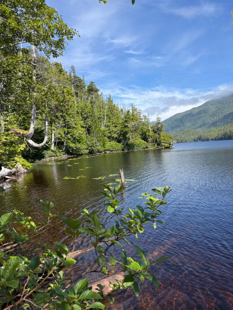
(3) From there, we hiked up to Namu Lake. The trail took about thirty minutes, climbing through the forest above the cannery. Some of the photographs are from that walk, including one of a covered walkway that has almost completely surrendered to time. Its boards are rotting away, slowly being absorbed back into the landscape.
The whole place felt like a meeting point between human industry and the persistence of nature. Namu had once been dynamic and bristling with life, but now it smells of mold, wet timber, and deterioration. Everywhere, Mother Nature is reclaiming what people built. Even the walkways that once connected the community are failing, leaving the forest and rain to fill the gaps.
Later, we set the crab traps and went fishing. There were coho salmon everywhere, moving through the water in abundance, but we still haven’t quite found the technique to catch them. We’re working on it. For dinner, we finished the day with blackened fish, pan-fried fish, rice, and salad—a wonderful meal after a full day outside.
Other boats came and went throughout the day, their crews drawn to Namu for the same reason we were: to look, explore, and take in the strange beauty of a place that was once so alive. But I have to admit that I didn’t truly appreciate Namu. It felt eerie—less like a destination than a ghost of one. The silence seemed to emphasize everything that was missing.

(4) Still, it was a memorable day: calm water, whales along the route, a hike to the lake, salmon we couldn’t quite catch, crab traps set for tomorrow, and a lovely evening meal. In the morning, we’ll pull out and head toward something fresh and new.

Namu Bay to Codville Lagon

From Namu Bay to Codville Lagoon
We slipped out of Namu Bay on a beautiful, sun-drenched morning, still full from a good day of fishing the afternoon before, not catching…  The two-hour run to Codville Lagoon turned into one of those passages you don’t want to end — whales again, right on cue. It’s becoming a regular thing now, and everyone aboard is getting sharper at the game, spotting the blows and backs sooner and closer each time. With the sun bright overhead and barely a cloud in sight, it was about as good as a travel day gets.
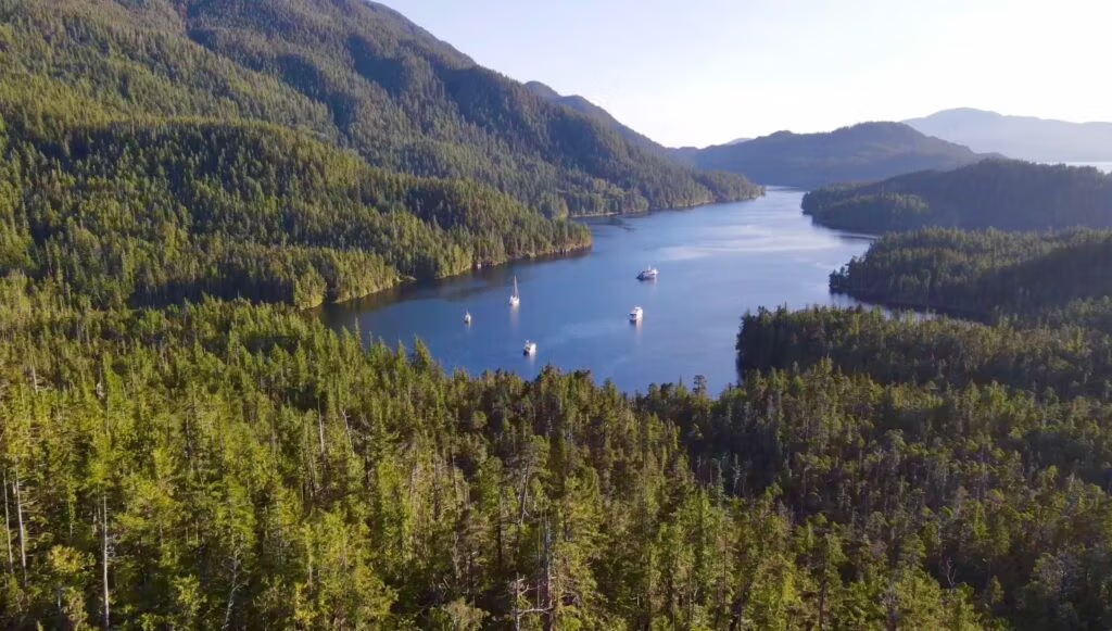
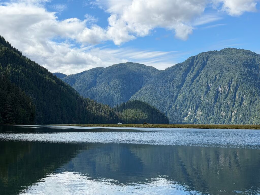
Codville Lagoon greeted us with a small, unassuming entrance that turned out to be perfectly easygoing. We threaded our way in and ran to the far end of the bay to drop the hook, joining three or four other boats already settled in for the day. With so many prawn traps already dotting the water around us, it seemed only right to set our own and let the day unfold from there — a little fishing, a little waiting to see what the bay had in store.
Not far from where we anchored, a hiking trail beckoned, so we loaded into the tender to go find it. The path ran about half a mile through boardwalks laid across lovely stands of pine and spruce, wildflowers crowding in along the edges, and loons calling out somewhere in the distance more than once during our stay. It ended at a stunning little lake, the water surprisingly warm, warm enough that a good number of people we saw were jumping right in. We held off swimming this time, but it’s already on the list for next time through.
The place was so pleasant, and the weather held so well, that one night quickly turned into two. The next morning we hauled up the prawn traps and, for the first time ever, actually pulled in prawns. After past attempts that ended in lost traps and empty pots, it felt like a real milestone. That stroke of luck sealed the decision to stay a second day, and we spent it doing what Codville Lagoon seemed made for — fishing. Chris landed rockfish, and Peter and I weren’t far behind, and by evening we had a full cleaning session ahead of us before supper.
That night’s meal — fresh prawns and rockfish, straight from the water to the table — was one to remember. Good food, good company, and a genuinely lovely night to close out our stay. Codville Lagoon earned its place as one of the highlights of the trip so far, and it’s without hesitation that I’d recommend it to anyone making their way up this coast.

Codville Lagoon to Shear Water and Bella Bella, 9 August

Landfall at Shearwater
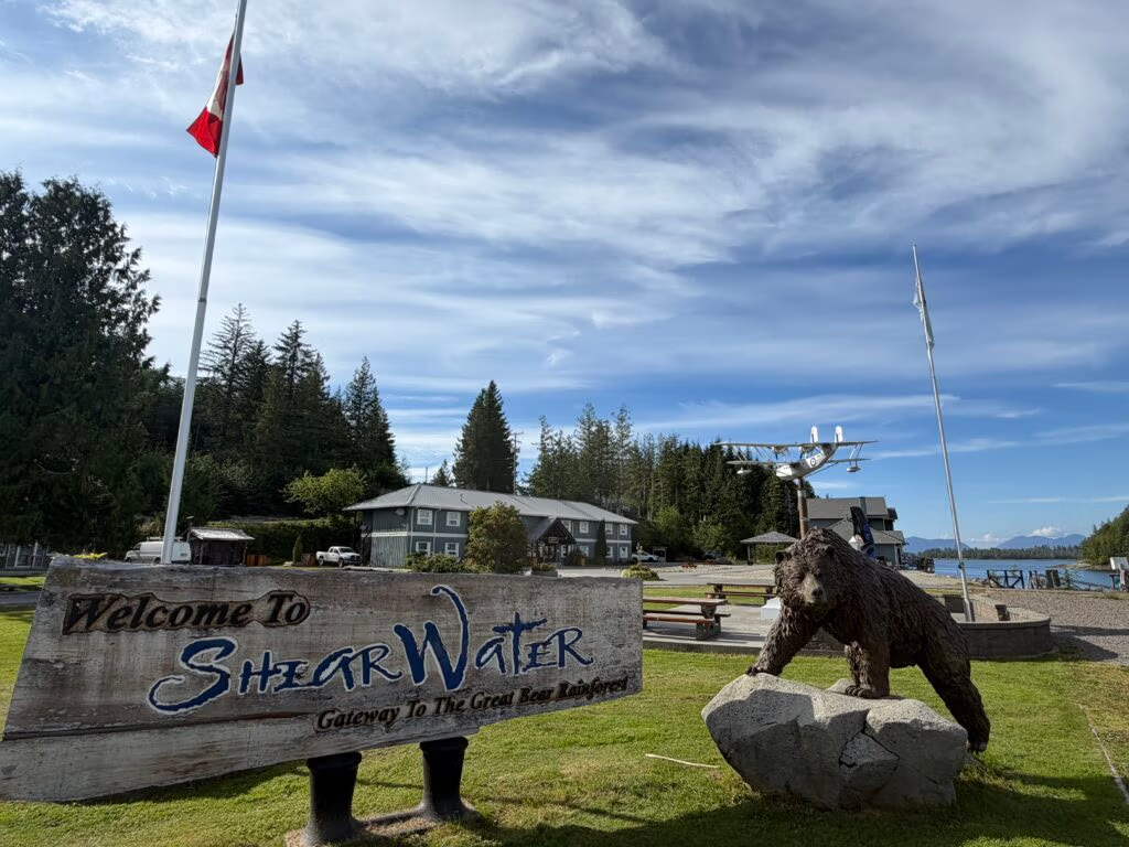
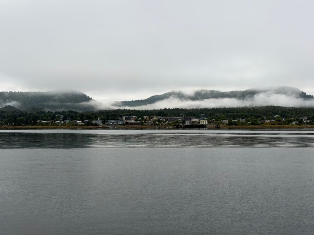
We made our approach and, before long, Bella Bella  was sitting close in front of us — within two miles,  Sheer Water stretching out ahead as well.  In the end we decided to drop anchor and stay in the bay just outside Shearwater. Bella Bella, off in the distance, looked all but deserted — not many souls moving around that we could see. We were tempted to top up on fuel and water, both getting a little low, but decided both could wait for another day.
We got the hook down around midday, somewhere between 1:30 and 2:00, and settled the boat in for the afternoon. A couple anchored nearby became a little concerned about how close we’d dropped in relation to them, but after a bit of back and forth we were all satisfied we had plenty of room.
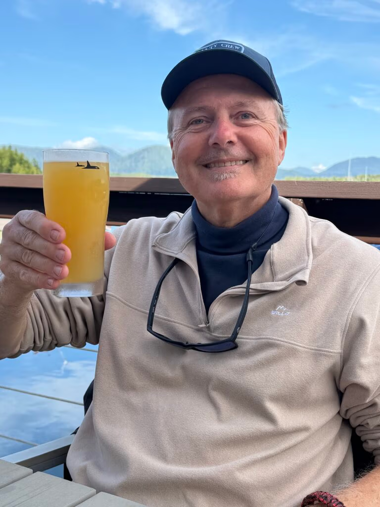
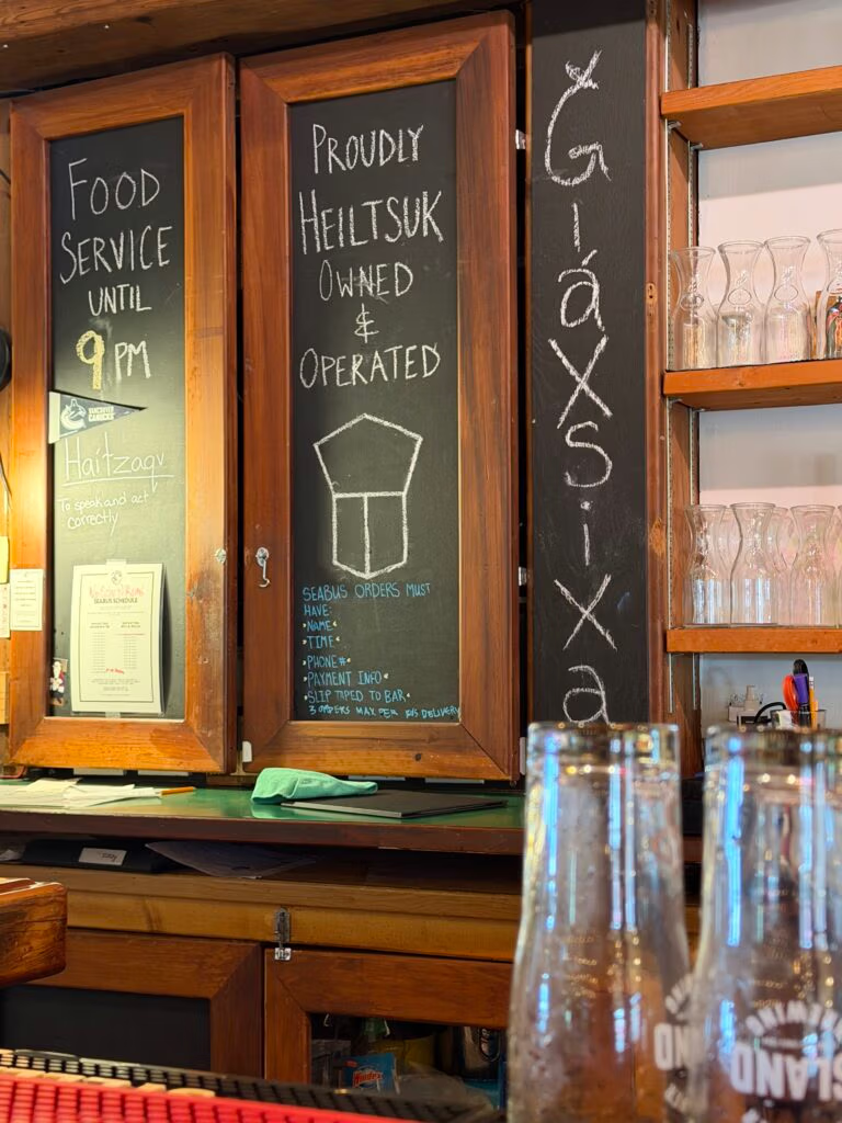
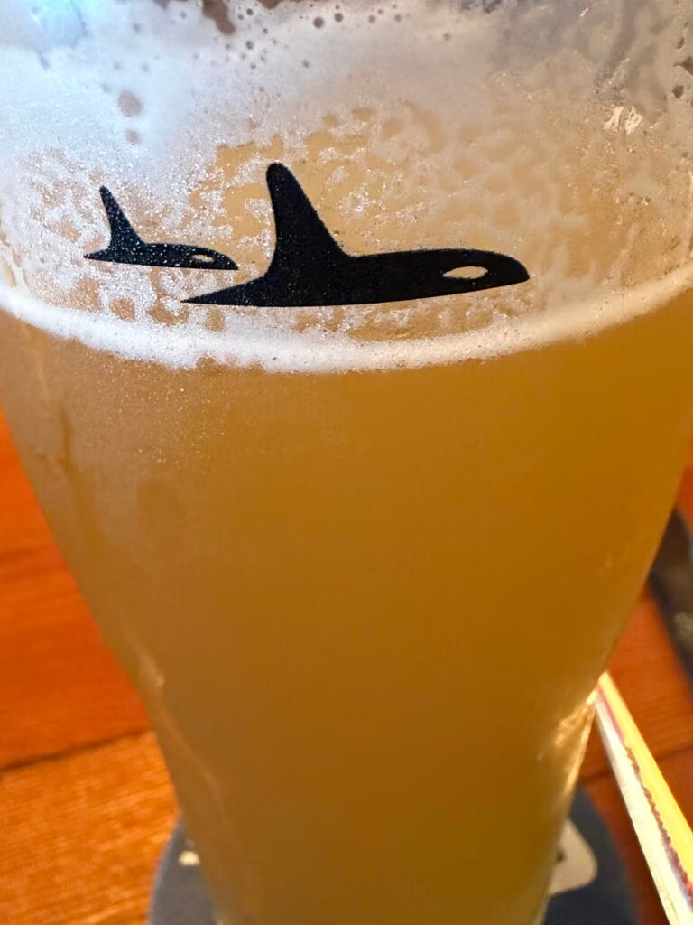
With the boat squared away, we loaded into the tender and made the short 300-yard run over to Shear Water itself, eager to get our feet on solid ground again and see some life after days on the water — people, boats, all the small signs of a working marine community. We found our way almost immediately to a little bar in town, where Peter and I ordered a couple of beers while Chris and Robert split a hamburger and fries between them. It was one of those perfect, sunny afternoons — the kind where you could happily plant yourself for hours and just enjoy a beer and the company. We made the most of it.
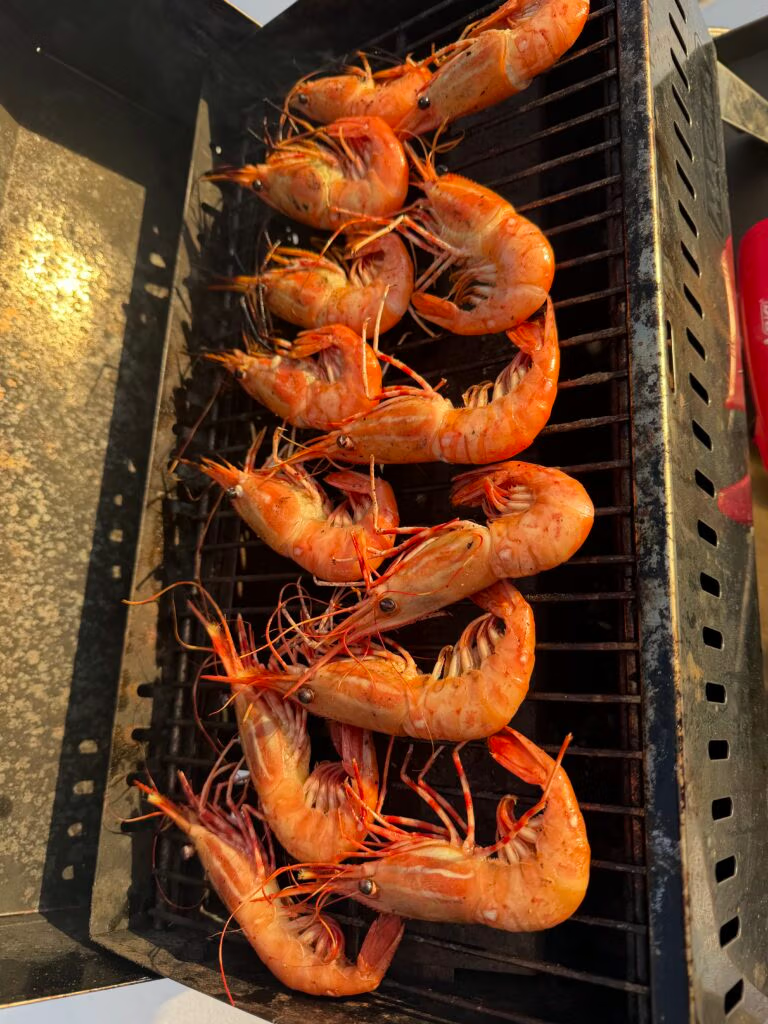
That evening we headed back to the boat and fired up the barbecue again — more prawns, and fish once more, this time a beautiful copper river red salmon that a fisherman had gifted us a couple of days earlier. It was every bit as delicious as it sounds. Peter took the lead in the galley and did a wonderful job with the cooking, rounding it out with French fries and a good bottle of Spanish wine. A lovely way to close out the day.
The next day also meant saying goodbye to Peter. He and I have known each other for about ten years now, and we’ve shared no shortage of outdoor adventures together over that time. It’s always a joy to have him aboard, and always hard to watch him go. If there’s one thing this summer of travel keeps teaching me, it’s that saying hello and goodbye to the people you love never really gets any easier — good friends are too hard to come by. We’ll miss you, Peter.

Origins in 1970s Activism
The term “First Nations” emerged in Canada during the 1970s, when Indigenous activists began deliberately moving away from the word “Indian” — a label many considered a colonial misnomer, tracing back to Christopher Columbus mistakenly believing he’d reached the East Indies

Sheerwater back to Codville Lagon

Back to Codville Lagoon
Another pretty morning to wake up to — sun already shining before we were even properly up, which made the early start a lot easier to swallow. We had chores to knock out before leaving Clear Water: topping up the fuel and, more importantly, the water. We seem to burn through water faster than I ever expect we would — still haven’t quite figured out why, but it’s become a running theme of this trip. With tanks full and lines cast off, we pointed the bow back toward Codville Lagoon.
This time around we’re not just passing through — we’re parked here waiting on Jennifer, who flies in Friday, and once she’s aboard we’ll turn around and start working our way north again. Robert took the helm for the run over and handled it beautifully, threading us back through that same small, easygoing entrance we’d come to know on our first visit.
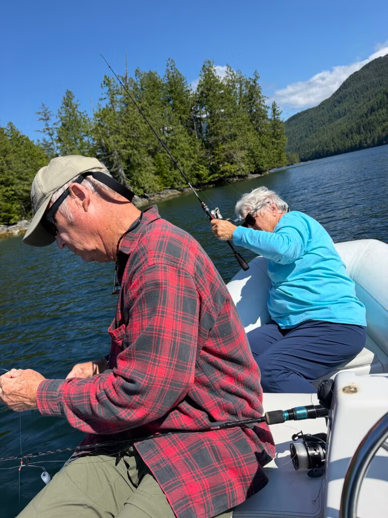
No sooner had the anchor found the bottom than the traps started going in. We set the prawn pots off the Aku-Aku first, then Robert and I took the tender out to drop crab traps around the bay. With the gear soaking, Robert, Chris, and I grabbed the rods and went after rockfish, and the bite was on — we came back with six or seven, a proper haul for an afternoon’s work.
By the time we were back aboard, the whole day had that easy, satisfied feel to it. Chris took over the galley and turned out a spaghetti supper with garlic bread and a salad on the side, and we ate it up on deck as the light started to turn gold. Another sunset coming on, another quiet evening ahead. Life is good out here.

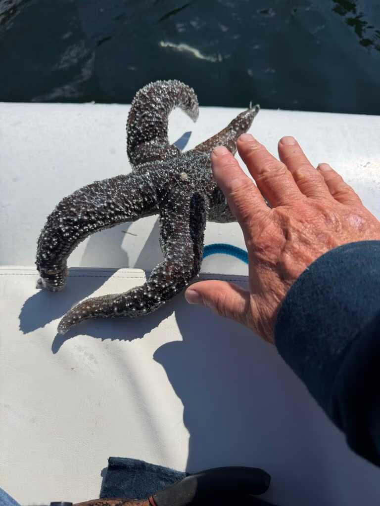
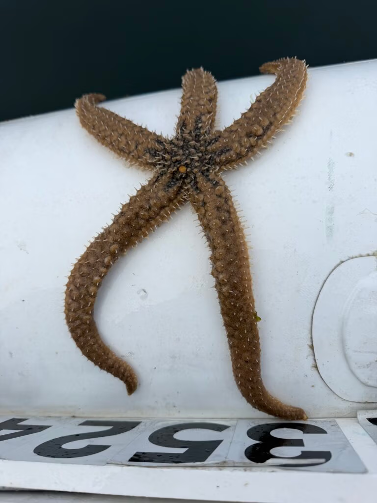
I caught a star fish, big one... not sure how

Snow Day

We decided to stay put today, right back where we’ve grown fond of — Codville Lagoon — content to let the day unfold at its own pace while we wait on Jennifer’s arrival. It turned out to be exactly the kind of day made for staying still: sunny and bright from morning on, with nothing pulling at us to move.

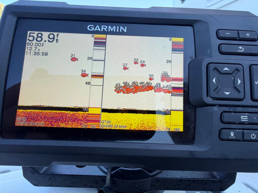
We spent it doing what this bay does best — fishing and crabbing, and just generally enjoying ourselves. Robert got the new fish finder up and running today, and it changed the whole game. sharper and a little more dialed in than usual.
By evening we had a good catch to show for it, and turned it into fish tacos for supper

 — they came out excellent, easily one of the better meals we’ve had this trip. We rounded it out with sweet potatoes and applesauce on the side, and after a full day in the sun, everyone was more than ready to turn in early for a proper night’s sleep.
Tomorrow we point the bow back toward Shearwater, where we’ll finally get to pick Jennifer up on Friday and start the next leg of this thing together. For the first time we actually knew what we were doing out there — could see the depth clearly, watch the bottom fall away beneath us, and pick out fish on the screen before we ever felt a bite. It made for a great day on the water, everyone a little 

Jenn is back, Leaving Shearwater headed to Ocean Falls

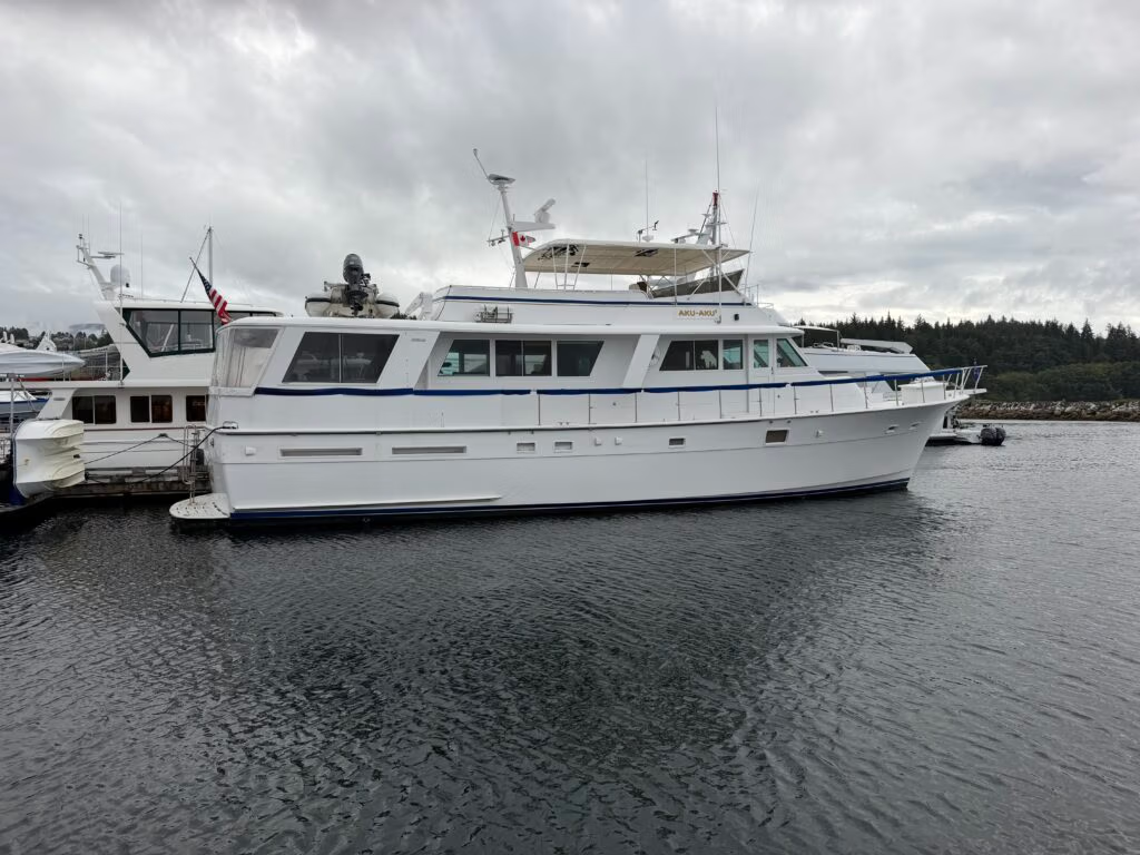
Bella Bella and the Aku-Aku
We woke up early to clear water and about as pretty a morning as you could ask for. Before anything else, we ran a couple of errands ashore — picking up a few last supplies, sorting out the trash — easy work now that we’d already topped up on fuel and water the day before.
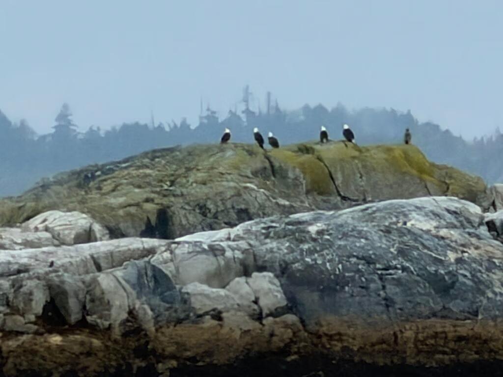
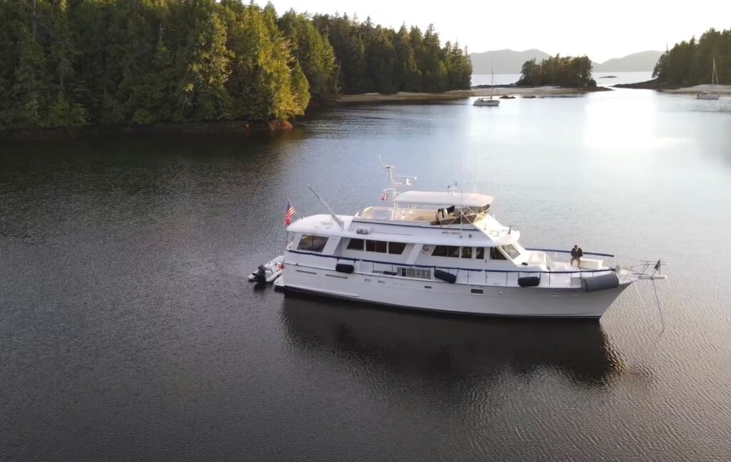
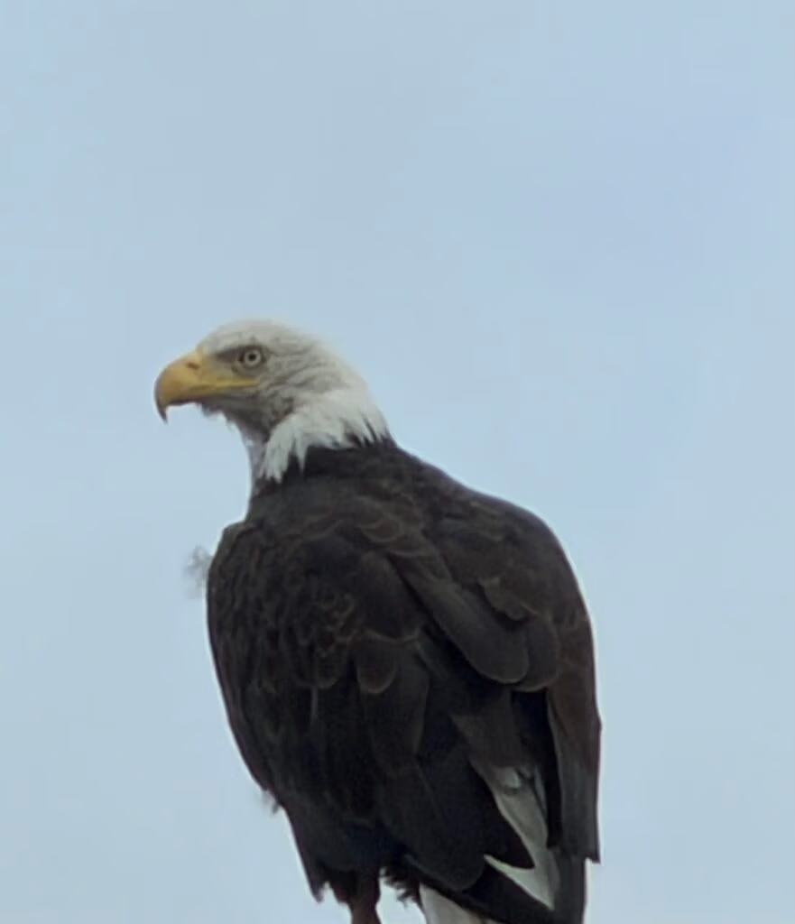
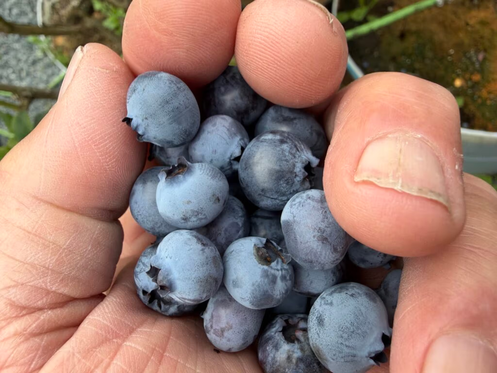
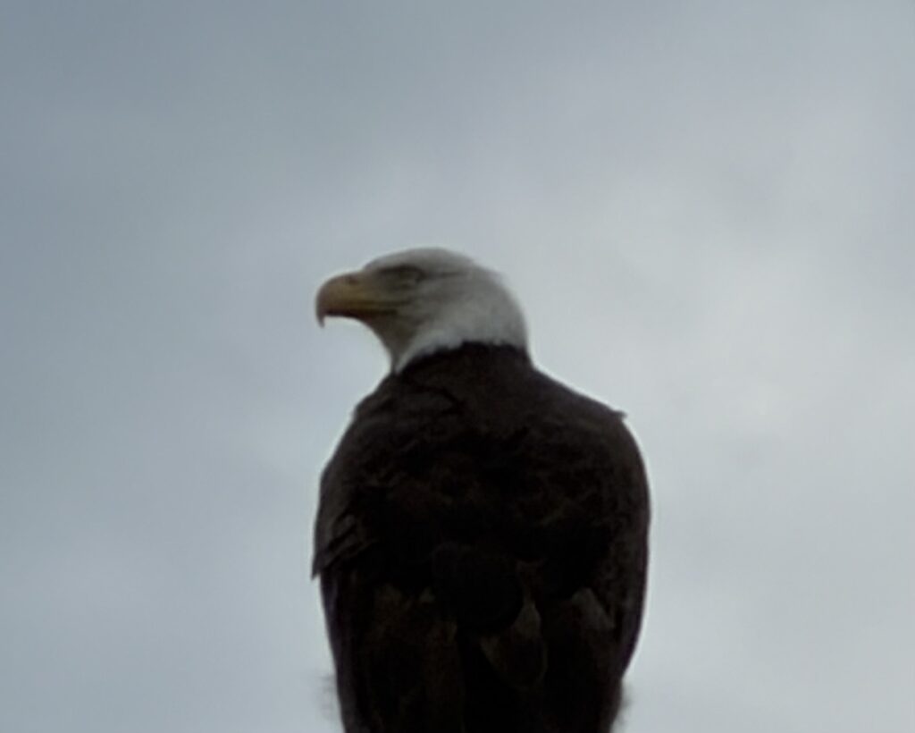
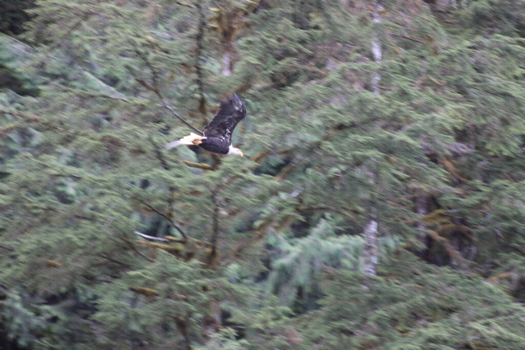
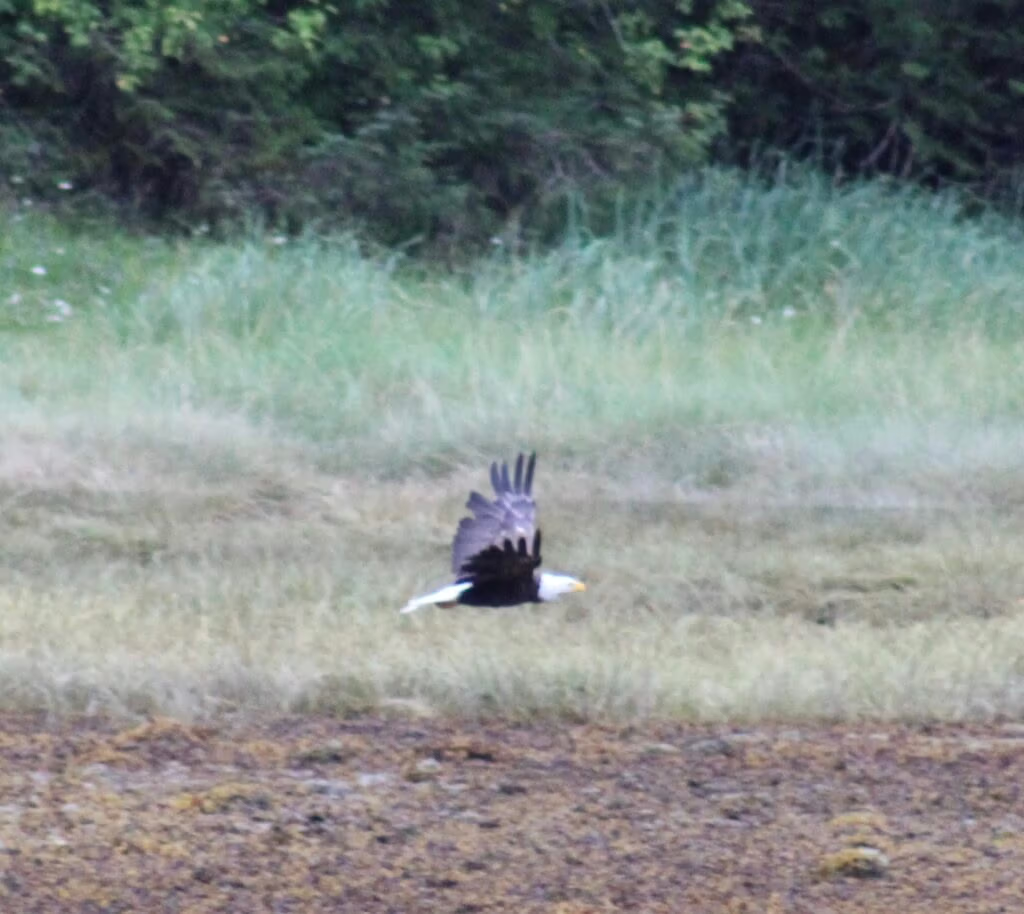
Jennifer was due into Bella Bella around eleven, so I took the tender across to go get her, arriving a little early with time to spare. I wandered around town for a while, picked some blueberries off a few roadside bushes, and watched a bald eagle circle overhead along with a noisy gang of crows. When I spotted Jennifer’s plane coming in on approach, I got a text off to her before she’d even had the chance to text me — always a nice small victory. We met up after a short taxi ride from the airstrip, loaded into the tender, and headed back across the bay. The water was smooth the whole way over, and we were back aboard the Aku-Aku before long, where Robert and Kris were waiting for us.
Through Gunboat Narrows to Ocean Falls
We didn’t linger — almost as soon as Jennifer was aboard, we got underway for Ocean Falls. The route took us through Gunboat Narrows, and it turned out to be one of the more interesting stretches of the trip: uneventful in the sense that nothing went wrong, but genuinely absorbing to run, with beautiful scenery the whole way through. The crossing took about two and a half hours in all.
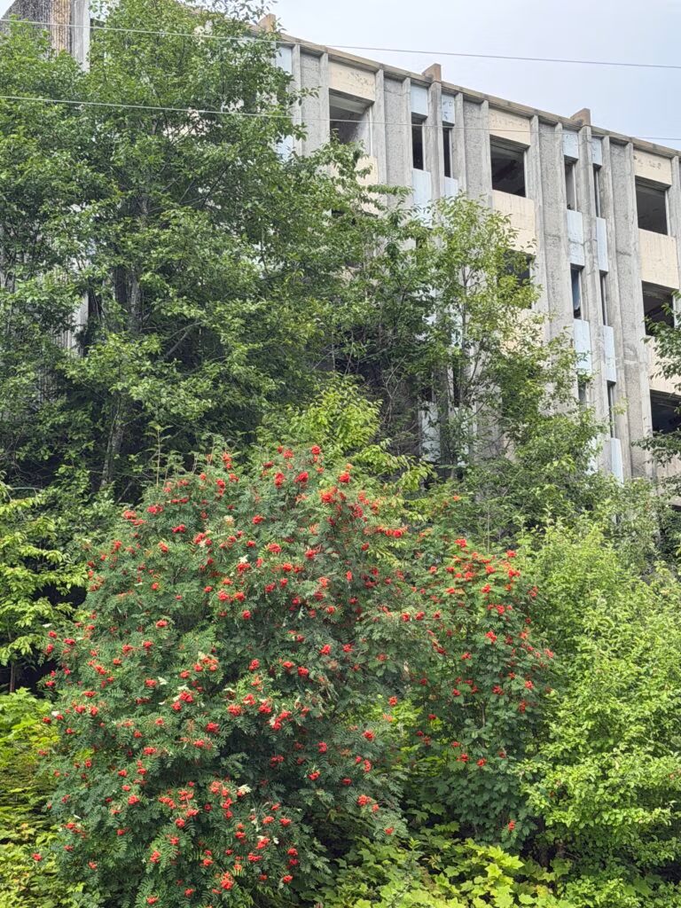
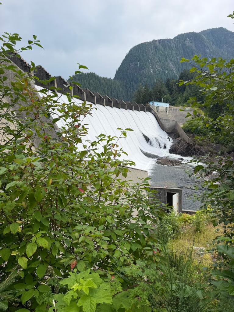
While we were underway I looked up some history on Ocean Falls, since I knew almost nothing about the place beyond its name. It’s a strange and striking bit of BC coastal history. The Heiltsuk people fished the falls at the mouth of Link Lake for thousands of years before anyone else took notice, but in 1903 a trio of prospectors spotted the falls and saw the same thing industrialists of that era always seemed to see in falling water: horsepower. By 1906 the Bella Coola Pulp and Paper Company had bought up the land, and within a few years a dam, sawmill, and pulp mill were running full tilt, with a company town growing up around them. At its peak in the 1950s, Ocean Falls was home to roughly 3,500 people and boasted the largest pulp and paper mill in British Columbia, along with the province’s second-largest hotel and, oddly enough, Canada’s first indoor swimming pool. It all came apart slowly through the 1970s as the mill grew inefficient and uneconomical; Crown Zellerbach shut it down, the provincial government bought the town to keep it alive a little longer, and by 1980 the mill closed for good and much of the townsite was demolished. What’s left today is a handful of year-round residents, a scattering of surviving buildings slowly being reclaimed by the forest, and — improbably — the original hydro dam, still spinning away and feeding power to both Bella Bella and Shearwater a century after it was built.
Walking the Old Town
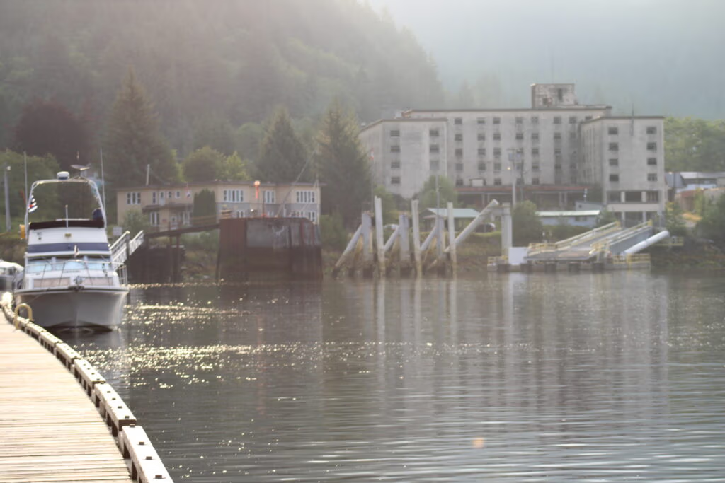
We tied up dockside among a surprising number of public marinas, and Robert, Jennifer, and I set off on foot to hike one of the old trails up through town. It’s a strange and quietly beautiful place to walk through — the bones of the old hotel still standing, and the dam itself still up on the hill, still doing its job of powering the towns below just as it has for generations.
We closed out the evening back aboard with scalloped potatoes and prawns off the barbecue — a good, simple end to a full day.

Ocean Falls to Eucott Bay Hot Springs

Cinnamon Rolls, a Blown Cable, and Eucott Bay
August 15, 2026
I got up early this morning with one idea in mind: cinnamon rolls. Homemade, from scratch, and worth the early alarm — I got them made and ready to go before the day really started. Then it was on to boat chores. We’d had a lot of fresh water overnight, so I gave the boat a good wash down while everyone else got moving.
Right in the middle of the morning, the 24-volt system shut down cold. For a minute I didn’t know what was going on, and my first instinct was to call Captain Marty. But before picking up the phone, Robert and I decided to dig into it ourselves. We traced it wire by wire and finally found the culprit — a cable that had burned through and lost its connection. We reconnected it, tested it thoroughly to make sure it would hold, and got everything squared away and ready to go. While we were sorting that out, Jennifer and Chris slipped up to the little store nearby and picked up a few things, including some mementos of the stop.
We cast off right around 10 o’clock for what turned into a three-to-three-and-a-half-hour cruise, and honestly, I don’t think I can fully put into words the beauty of it. Music playing, mountains sliding by with snow still capping their peaks, fresh air pouring in — every once in a while another boat passing, or a bird overhead, and then out of nowhere, a whale surfacing. This is everything I thought this life would be, and more. More because days like this make you stop and really look at where you are in your life, and what you actually value.
We cruised on up to what I’ve been calling Eucott Bay Hot Springs, tucked into Dean Channel on the north side, near King Island — a spot with a lot more history than I expected.
A Little History on Eucott Bay
Indigenous peoples — the Nuxalk, who call the site Alhltl’liiqw — have used these hot waters for thousands of years, mixing the mineral-rich clay beneath the springs into treatments for arthritis and as a skin cleanser.
The springs really took off between 1909 and 1981, when the pulp mill town of Ocean Falls, about 20 km away, was booming with as many as 3,000 to 3,500 residents at its peak. Locals would boat out here to soak — in the 1930s, cabins rented for $2 a week for people treating rheumatism and lumbago, and an attended bathhouse charged 10 cents a session. There was even a company, the Miracle Mineral Water Co., that bottled the heavily mineralized spring water and sold it in Vancouver and Victoria for $1.50 a gallon. Old-timers from Ocean Falls recall coastal steamships heaving-to just outside the bay so passengers could be rowed ashore for a bath.
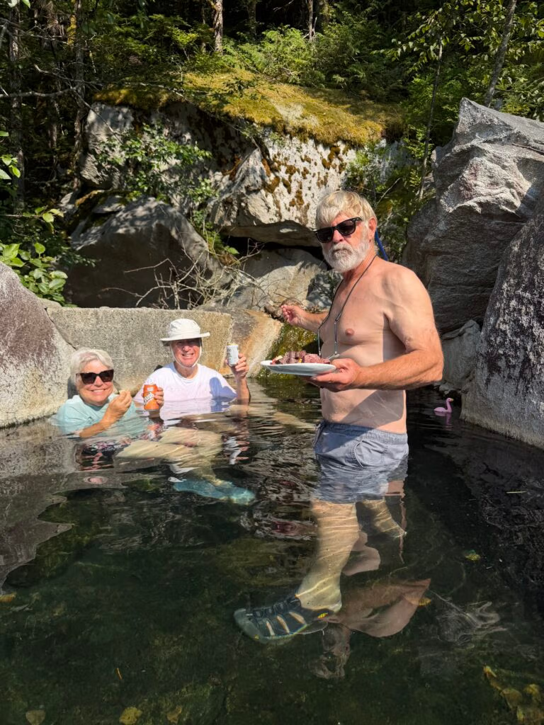
Today Ocean Falls has fewer than 200 residents and the mill is long gone, but boaters have kept the springs alive. The current soaking pool is a rock-and-concrete tub built up by locals over the years, fed by a stream running somewhere between 44°C and 55°C, with the weathered pilings of the original pier still standing offshore as the only real trace of the town that once thrived here. It’s become one of those bucket-list anchorages on the BC coast — good holding in the bay, whales cruising through Dean Channel, and the occasional wolf howl carrying across the water at night.
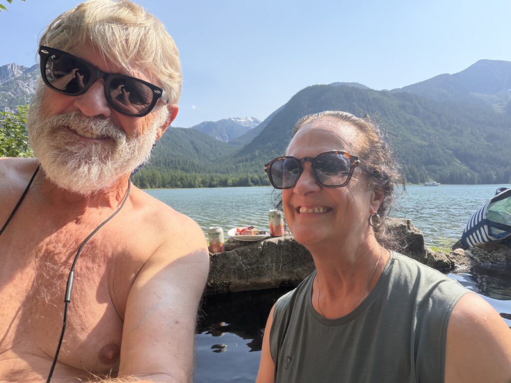
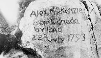
One more piece of history worth mentioning: Dean Channel, right where we’re anchored, is where the explorer Alexander Mackenzie completed the first east-to-west overland crossing of North America back in 1793 — a full decade before Lewis and Clark. He carved his name into a rock above the tideline just down the channel from here, historic graffiti that still marks the spot today.
Standing here now, soaking in the same waters people have used for centuries, after a morning of cinnamon rolls and burned wiring and a cruise I’ll never fully be able to describe — it’s hard to imagine a better way to spend a day.

Eucott Bay Hot Springs to Klemtu

Mackenzie’s Rock and Marry Me Chicken: A Long Day to Klemtu
We left early in the morning, the water still glassy, and pointed the bow toward Klemtu — though we didn’t know yet just how long the day would turn out to be. The plan was three or four hours. It became something much bigger, in more ways than one.
A Detour to History
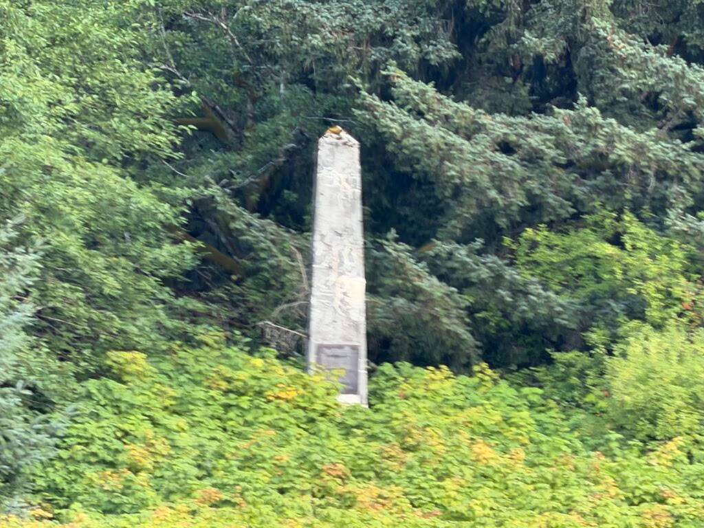
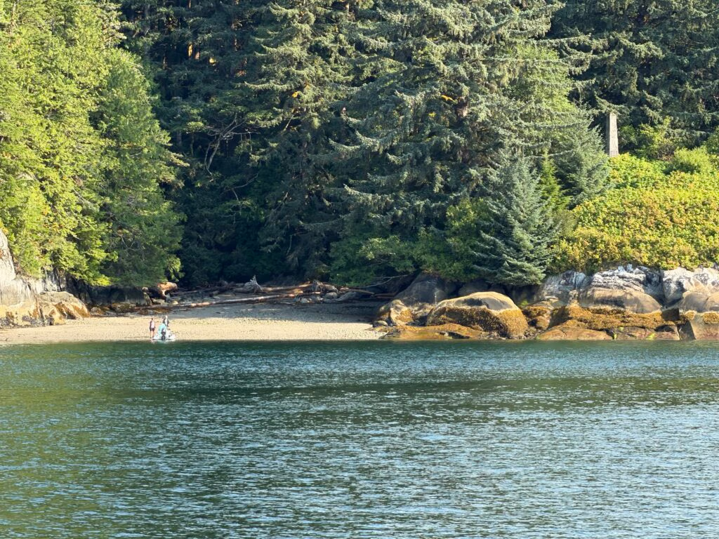
Partway along, we came up on Alexander Mackenzie’s rock, sitting close on our starboard side. We slowed and drifted near it while Jennifer, Robert, and Khris took the tender ashore to have a look. There isn’t much to see from the water — just a modest monument on a rocky point — but the story behind it is bigger than the site itself.
In May 1792, Alexander Mackenzie set out from Montreal on behalf of the North West Company, determined to find an overland route across the continent to the Pacific. His first attempt, in 1789, had taken him down what’s now called the Mackenzie River — to the Arctic Ocean instead of the Pacific, a detour of roughly 3,000 miles that must have been a bitter disappointment at the time. He tried again on May 9, 1793, leaving Fort Fork on the Peace River with a crew of about ten men packed into a 25-foot canoe. They paddled up the Parsnip and Peace rivers, crossed the Continental Divide, and dropped onto the Fraser River — which proved too dangerous to run all the way to the coast. On the advice of local Carrier (Dakelh) guides, they left the river and struck out overland along what’s now known as the Nuxalk-Carrier Grease Trail, a traditional Indigenous trade route.
Twelve days and about 285 kilometres later, they reached the Bella Coola Gorge, borrowed canoes from the Nuxalk people, and paddled down the Bella Coola River to tidewater on July 20, 1793. Two days later, hemmed in by Heiltsuk war canoes near Elcho Harbour on Dean Channel and unable to push any farther, Mackenzie mixed vermilion pigment with bear grease and painted his now-famous line on a rock face: “Alexander Mackenzie, from Canada, by land, the twenty-second of July, one thousand seven hundred and ninety-three”. It made him the first European to cross North America north of Mexico by land — beating Lewis and Clark to the Pacific by twelve years.
They turned around almost immediately and made it back to Fort Chipewyan by August 24 — the round trip, door to door, covered roughly 2,300 miles (about 3,700 km) and took just over three and a half months. The original paint faded long before anyone thought to protect it. It wasn’t until 1923 that a BC land surveyor, Captain R.P. Bishop, located the rock again; in 1926 the Historic Sites and Monuments Board of Canada had the words permanently chiselled into the stone and erected the monument that stands there today, in what’s now Sir Alexander Mackenzie Provincial Park.
Standing off that shore in our own boat, more than two centuries later, it was hard not to think about the contrast — his party dragging canoes and packs over mountain passes on foot, ours idling comfortably with the engine humming, snow-capped peaks all around under a clear blue sky.
The Long Way Round
The mountains that day were something else — the kind of scenery that makes you understand why people fall in love with this coast, snow still clinging to a good number of the summits even in summer. We drifted through it slowly, retracing some water we’d already covered before turning north again. At one point we had to cross a short stretch of open water exposed to the Pacific swell, but the waves were kind to us and everything lined up just right.
Jennifer cooked along the way — Marry Me Chicken with noodles, which turned out just as good as its name promises. It’s the kind of dish that makes a long day at the helm feel a little more like a good day.
Into Klemtu, Late
By the time we tied up at Klemtu, it was well into the evening. We rafted to the fuel dock itself — something we hadn’t done before — filled up on both fuel and water, and settled in for the night while Chris and Jennifer walked up to the grocery store.
Klemtu sits on Swindle Island, tucked behind Cone Island in the heart of the Great Bear Rainforest, and its history explains a lot about what we saw.

 The village as it exists today came together around 1875, when two distinct Indigenous groups — the Kitasoo, a Tsimshian people from the outer islands, and the Xai’xais, from the Wakashan-speaking mainland — joined forces at this site because of its position on the coastal shipping routes. For decades afterward, the community’s economy ran on cutting and supplying cordwood to coal-and-wood-fired steamships passing through the Inside Passage — Klemtu was, quite literally, a refuelling stop long before it had a fuel dock. The village was originally called China Hat, after the shape of neighbouring Cone Island, but residents found the name objectionable and it was formally changed to Klemtu in 1902 — a Tsimshian word thought to mean “to anchor” or “blocked passage.” A cannery ran there from 1927 to 1969 as the main employer, and commercial salmon fishing carried the community for decades after that — until the fishery collapsed in the 1990s and unemployment in Klemtu reportedly hit 90 percent. The old fish-processing plant that once sat right above where we were docked shut down along with it. 


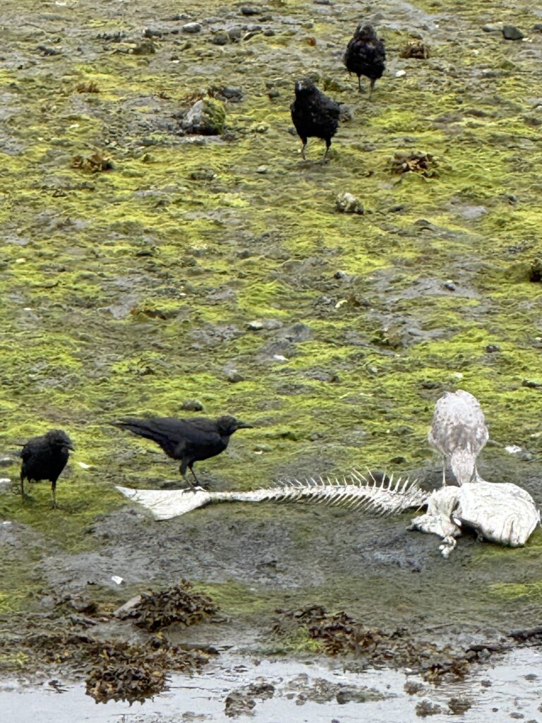
The Kitasoo/Xai’xais Nation rebuilt from there, partnering with what’s now Mowi Canada on salmon farming starting in 1998, and eventually converting that same old plant into a smokehouse. That’s the “Klemtu Spirit” smoked salmon I noticed — farmed nearby, historically shipped elsewhere for initial processing, then brought back to Klemtu to be hot-smoked and packed by hand, now sold nationally and once carried exclusively by Walmart Canada. About 500 people call it home today, and fish farming and smoking now account for roughly half the jobs in the community The fish carcasses tossed back into the harbour near the processing operation were a stark, almost cinematic sight — it genuinely brought to mind that scene in Dances with Wolves with the discarded buffalo. It’s not a pretty postcard image, but it’s an honest one, and it says something true about a small, remote place that has had to reinvent its economy more than once just to survive.[bc]
Klemtu isn’t somewhere I feel pulled to come back to. But sitting there at the fuel dock that night, thinking about firewood for steamships a century ago and smoked salmon shipped out to grocery stores today, it wasn’t hard to understand why the Kitasoo and Xai’xais people — and generations before them — have called this particular stretch of water home. Between Mackenzie’s rock in the morning and Klemtu’s fuel dock at night, it turned out to be a day that had a lot more history packed into it than the three or four hours we’d planned for.

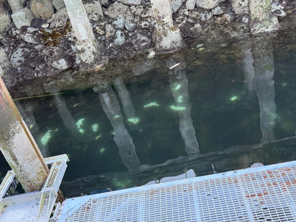
The white objects are dead fish...

Klemtu to Khutze Inlet

Fog, a Tug, and a Grizzly: Two Days at Khutze Inlet
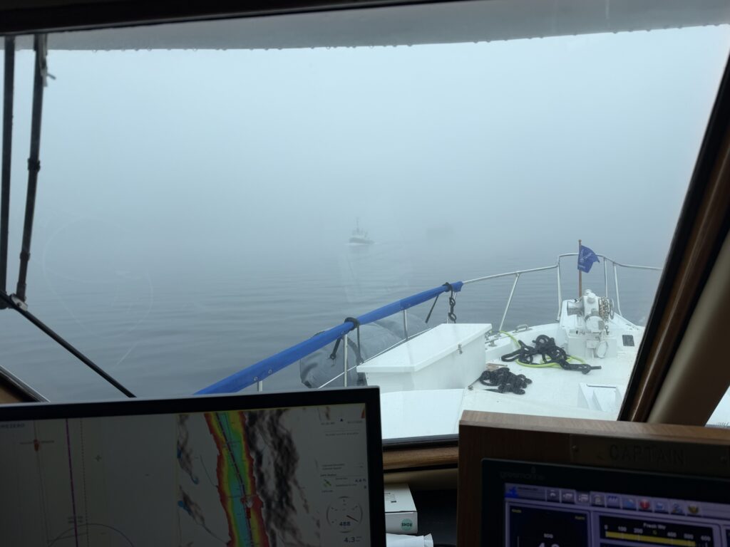
We left Klemtu into a wall of fog — visibility next to nothing. Jennifer took her post on the front deck, eyes on the water, while Chris worked the radar down below, calling out logs and debris as they appeared. For the first hour and a half we crept along like that, feeling our way through the grey.
Then, out of the murk, a tug came into view — towing a barge, moving through the same soup we were. It was the kind of moment that could have gone sideways fast, but we read it right, gave it room, and slid past clean, never close, never worried. Small thing on paper. Genuinely proud moment for all of us.
Three and a half, four hours after leaving, the fog finally let us see where we were going, and we came into Khutze Inlet — a big, open bay with a lot happening right at its mouth, including a yurt where caretakers keep watch over the place and where you check in on arrival. Rounding the last bend, we found one other boat already anchored. It took a little maneuvering, but we got the stern tie set and the hook down solid.
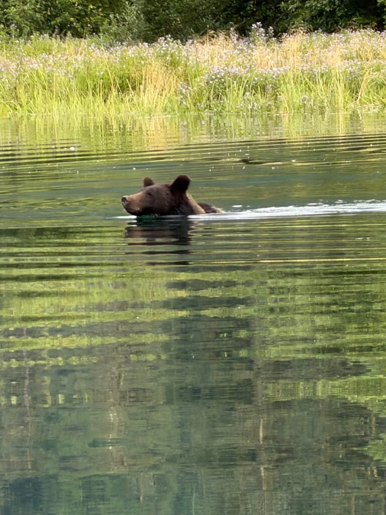
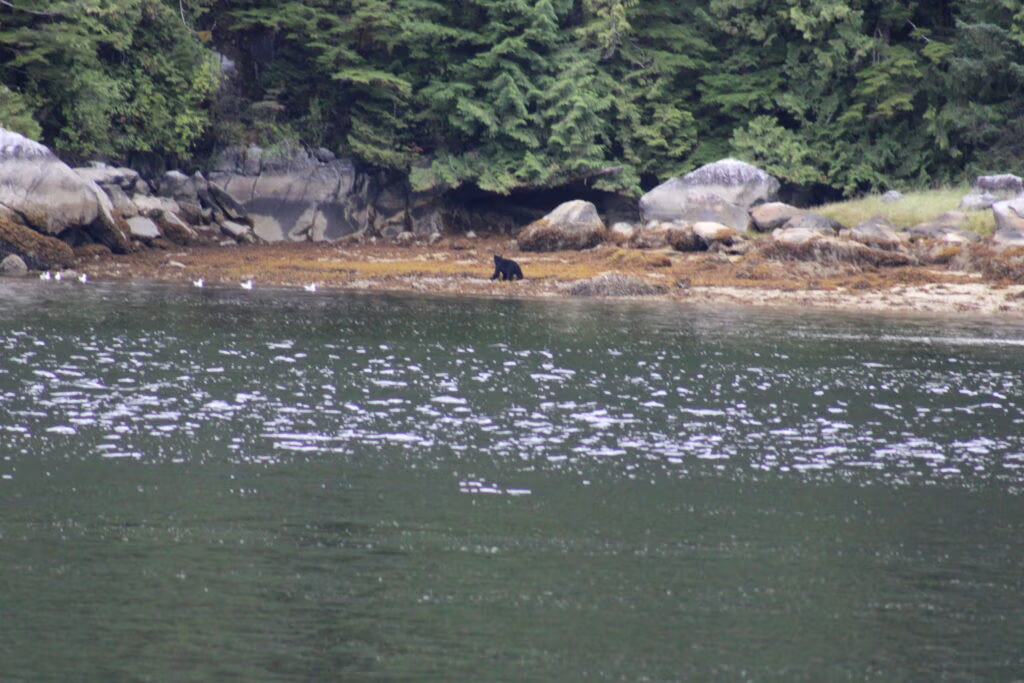
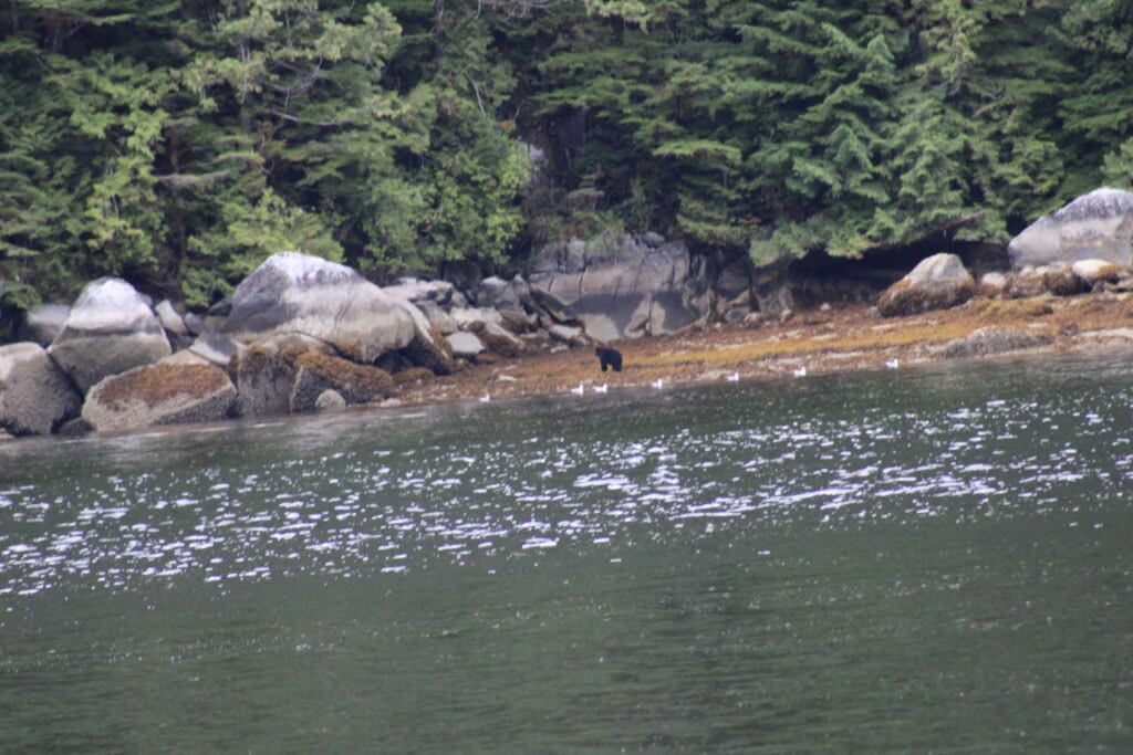
We didn’t waste any time. Straight into the tender to explore, and almost immediately — a grizzly. A young one, ambling along the shoreline not thirty feet from the boat. Just there, going about its business, like it was nothing.
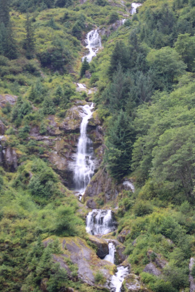
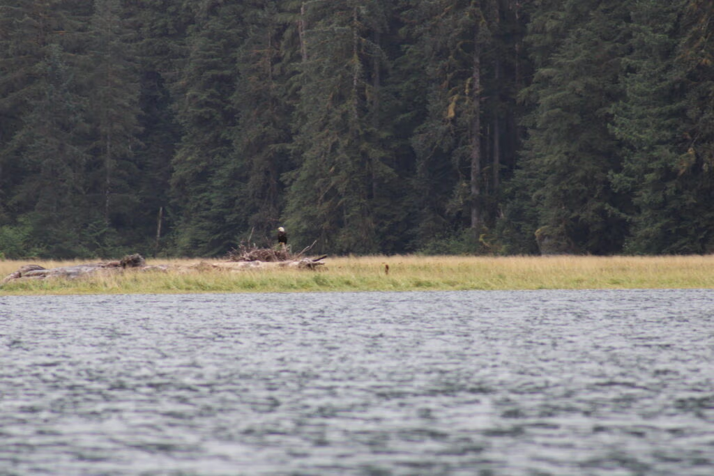
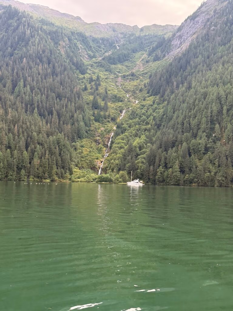
Khutze turned out to be one of those places that keeps giving. A huge waterfall dominates the bay, with smaller falls scattered around it, and the wildlife never let up — otters working the shallows, eagles overhead, birdsong everywhere you pointed the tender. We spent the whole day just drifting around taking it in.
It was good enough that we didn’t leave. We stayed a second night.
Day two: salmon that wouldn’t bite
Morning brought Jennifer, Khris, and me back out in the tender, rods in hand, going after salmon. The fish finder told a different story than our lines did — it lit up with fish, screen full of salmon we never so much as hooked. We clearly haven’t cracked the code on salmon fishing yet. It’ll come.
Later we ran up to the base of the waterfall and did what you have to do at a waterfall like that — cupped our hands and drank straight from it. Wonderful.
The anchorage kept shifting quietly around us: the other boats that had been there when we arrived pulled out, and a new one slid in to take their place by evening.
Food-wise, the previous night had been a simple, satisfying salad with ribs on the grill — sometimes that’s exactly what you want after a day outdoors. Tonight was the opposite direction entirely: carnitas, Mexican food, and a good bottle of wine to go with it. The bugs here are relentless, though for whatever reason Jennifer and I seem mostly immune to them.
Tomorrow we point the bow north and leave Khutze in our wake. It gave us fog-crossing nerves turned to pride, a grizzly encounter, waterfalls, otters and eagles, salmon that got the better of us twice, and two very different but equally good meals.
Peace out — north we go.

Snow Day

Khutze Inlet to Hartley Bay

Arriving in Hartley Bay
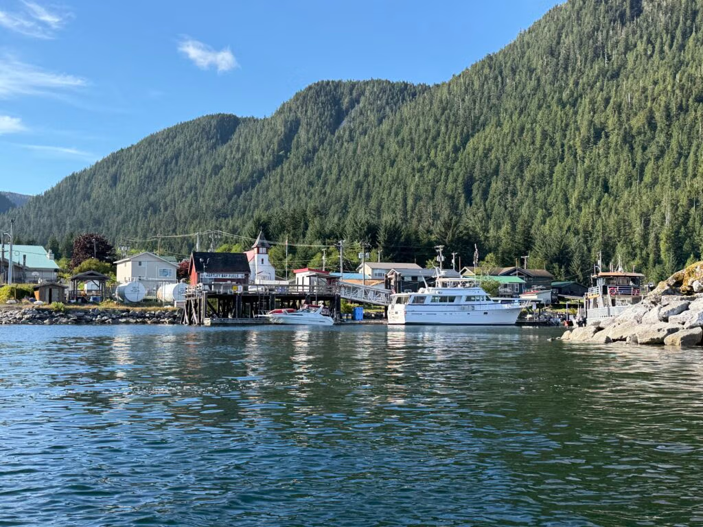
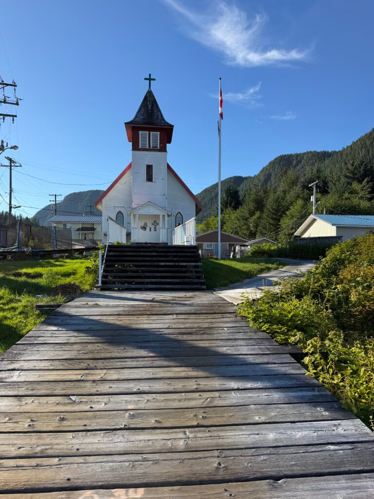
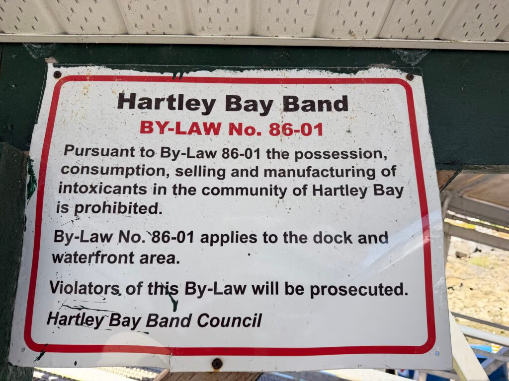
By afternoon we’d worked our way into Hartley Bay, a small village tucked into the coast with a population of only around 150 people. It’s the kind of place that doesn’t announce itself — no big dock, no fanfare — but it carries a quiet significance that most people who pass through never fully appreciate.
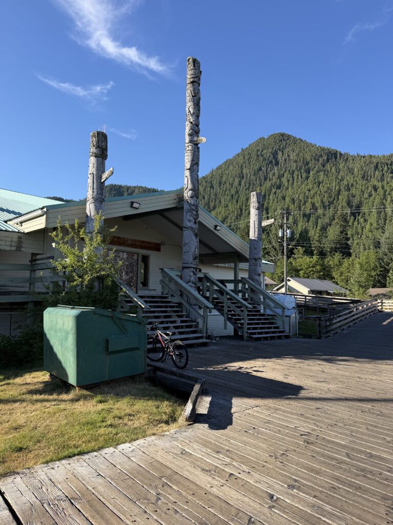
Hartley Bay is home to the Gitga’at First Nation, and on the night of March 22, 2006, this tiny community became the center of one of the most remarkable rescue stories on the BC coast. The BC Ferries vessel Queen of the North, carrying 101 passengers and crew from Prince Rupert to Port Hardy, struck Gil Island in Wright Sound just after midnight and began taking on water fast. Within minutes of the mayday call going out, the men and women of Hartley Bay — just six miles away — were already piling into fishing boats, gillnetters, and speedboats and racing out into the dark to help. They reached the scene before the Coast Guard did, pulling survivors from lifeboats and life rafts and ferrying them back to the village, where the rest of the community had already thrown open the doors of the cultural centre — hot coffee, blankets, warm clothes, and a headcount of every soul who came ashore.
Of the 101 people aboard, 99 made it to safety. Two passengers, Gerald Foisy and Shirley Rosette, were never found. But the scale of what could have gone wrong that night, against what actually happened, is largely thanks to a village of a couple hundred people who didn’t wait to be asked. For their response, the Gitga’at community of Hartley Bay received the Governor General’s Commendation for Outstanding Service later that year — a whole village honored, because as one nominator put it, every single resident played a part.
Standing on the dock two decades later, it’s almost impossible to reconcile that history with the stillness of the place. But maybe that’s exactly the point — this is a community that shows up when it matters and otherwise just quietly lives its life along the water.
An Afternoon in the Village
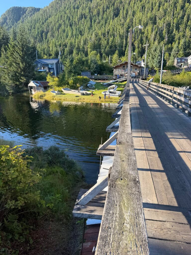
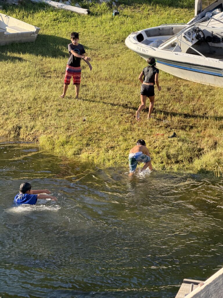
Walking through town, I watched a group of kids playing in a stream, chasing each other and shrieking with the kind of pure, unstructured joy that felt like a throwback. It took me right back to my own childhood — my brothers, my sisters, and me outside for hours, inventing games, losing track of time, coming home only when we were called. Nobody here was staring down at a phone. Nobody was inside. They were just outside, being kids.
The modern world hasn’t fully arrived in Hartley Bay yet, though you can see it creeping in at the edges — a satellite dish here, talk of Starlink coming in, the occasional sign that connectivity is on its way. But for now, it remains a place that moves at its own pace, tied more to the tides and the seasons than to a feed or a notification.
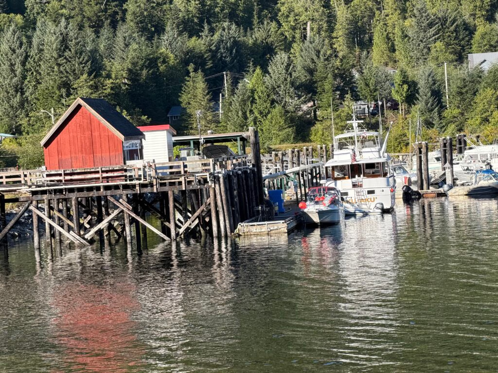
We were lucky enough to dock for the night right next to the fuel dock, at no charge at all. The folks there gave us fresh water, hauled away our trash, and were about as warm and welcoming as any harbor we’ve pulled into on this whole trip. I’ve been trying to strike a deal on some prawn traps before we shove off — feels like the right souvenir from a place like this.
I know I’ll be a little sad to leave. Not because I fully understand what they have here — I don’t think an outsider ever really can, not in a day or two — but because you can feel it. The joy in those kids by the stream. The ease of a village that still turns to the sea for its rhythm, and turns toward each other when it counts. Hartley Bay doesn’t ask for much attention, but it deserves a lot more than it gets.

Hartley Bay, Lowes Inlet to Prince Rupert

A Waterfall, a Little Rough Water, and Prince Rupert
We left Hartley Bay early — earlier than most of the village was even awake. We pushed off from the fuel dock before anybody else was stirring and made our way out of the bay, pointed toward a spot called Lowe’s Inlet, about 12 miles up the coast.
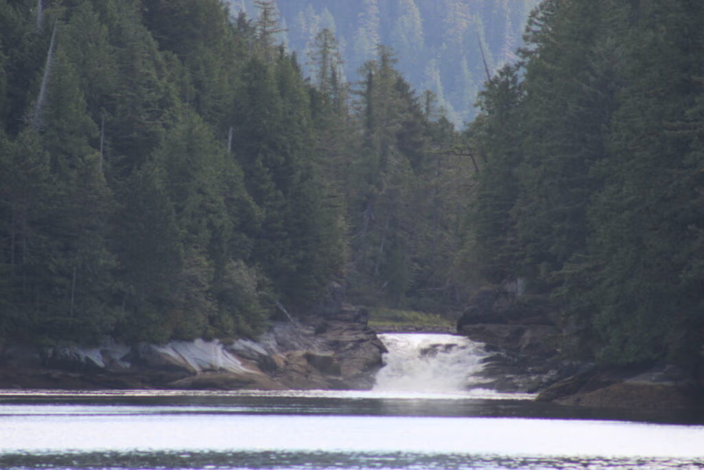
Lowe’s Inlet has a nice, narrow entrance, and as we eased through it, a huge waterfall opened up in front of us. We parked the boat right in front of it, dropped the hook, and let the current push us gently back on the anchor. Fish were jumping all around us — in the waterfall itself, in the pool below it, everywhere you looked. It was surreal, honestly, one of the loveliest anchorages we’ve pulled into on this whole trip. I hope we get the chance to come back here someday and actually spend the night instead of just passing through.
A Little History on Lowe’s Inlet
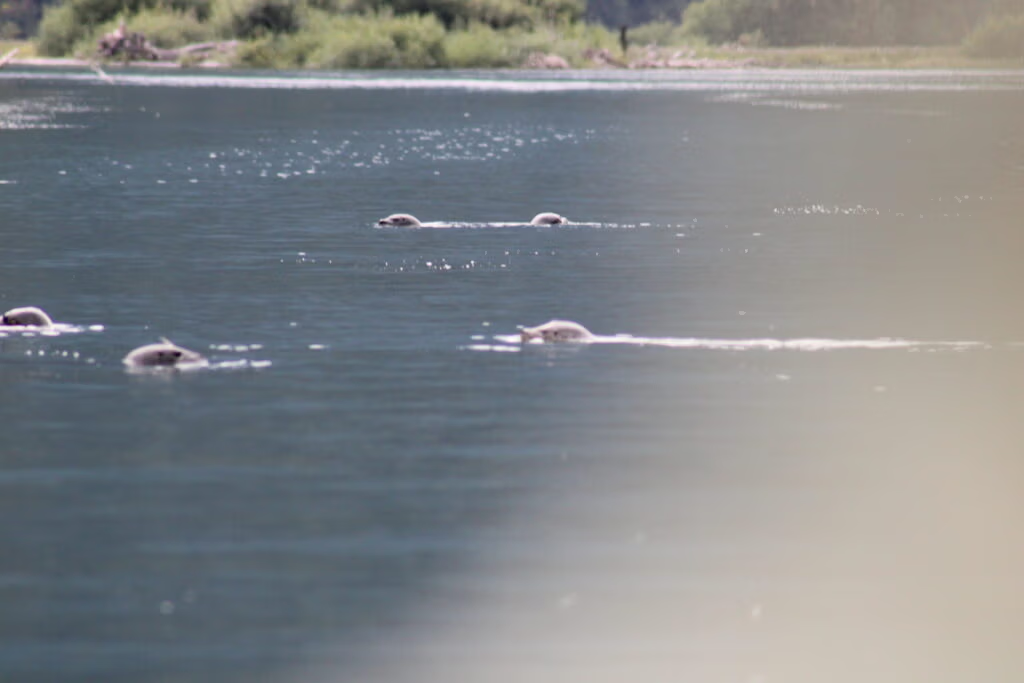
It turns out that waterfall has been drawing people in for a lot longer than us. What we anchored in front of is Verney Falls, at the mouth of the Kumowdah River, where salmon fight their way upstream every August to spawn — leaping the falls while seals gather below to feed and black bears line the banks waiting for an easy catch.
Long before it was a postcard stop on the Inside Passage, Lowe’s Inlet was contested, valuable fishing ground for the Gitxaała (Kitkatla) people. In 1890, as a cannery moved in and tried to fish the inlet commercially, a chief named Seeks told the federal fisheries guardian plainly: “I do not want any Whitemen to fish here… I have fished at Low’s Inlet for 8 years, it is the principal support of myself and people”. Rather than provoke a fight, the Lowe’s Inlet Canning Company ended up buying fish directly from the Kitkatla instead of running its own boats — an early, uneasy compromise between the canneries and the people whose waters they were fishing. The inlet itself now sits within Lowe Inlet Marine Provincial Park, a roughly 767-hectare park established in 1993 in the traditional territories of the Gitga’at and Gitxaała Nations.
Standing at anchor watching the fish jump, it was easy to see why people have been fighting to hold onto this little patch of water for well over a century.
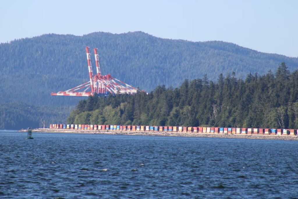
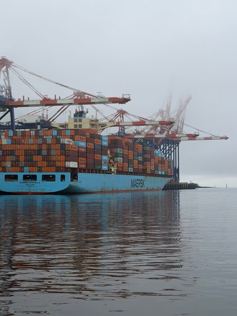
From there we pulled the hook and pushed on toward Prince Rupert, another four — maybe five — hours up the road. Coming into town we passed all kinds of industrial work: conexes stacked in yards, cranes swinging cargo, the unmistakable look of a working port. The last two, two and a half hours were a little rough — about a meter of swell, six to eight seconds apart — but nothing the boat couldn’t handle, and everybody stayed in good spirits as we came in.
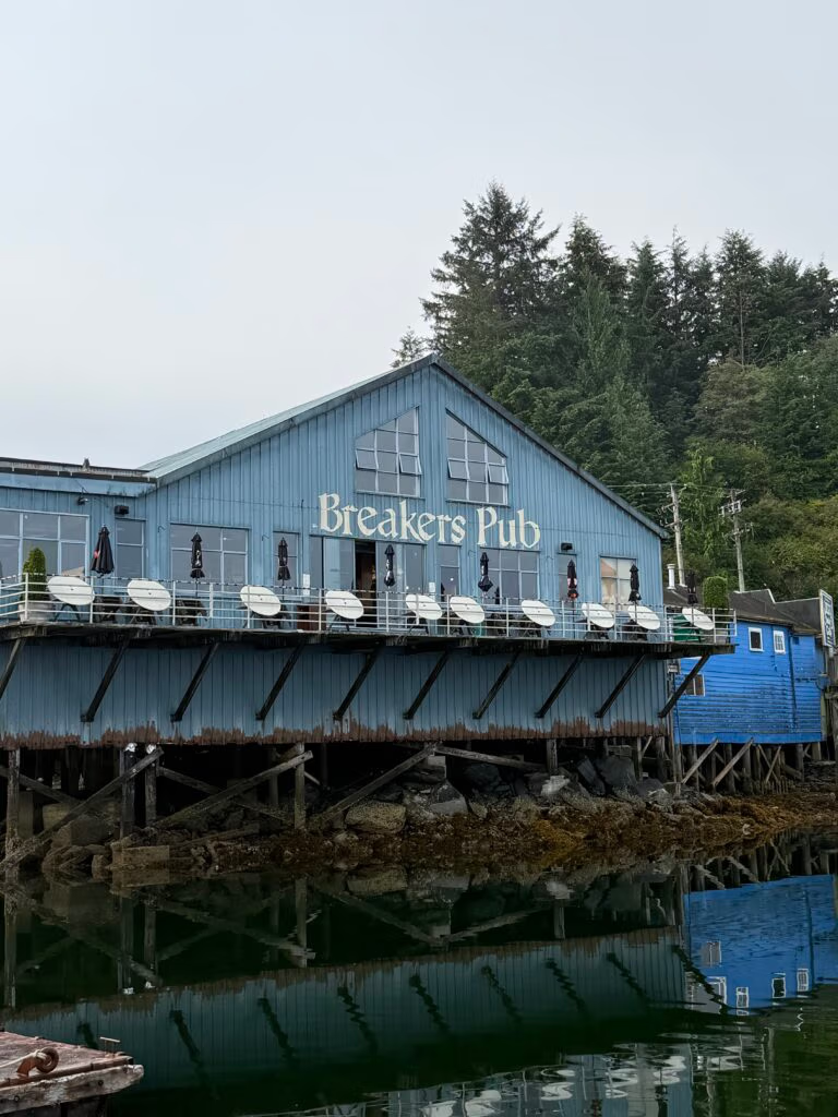
We tied up, walked around town for a bit, and ended up at the Breakers Pub for dinner — a good meal and a cold beer after a long day. It’s an interesting town, one I’d genuinely come back to if the opportunity ever comes up again.
A Little History on Prince Rupert
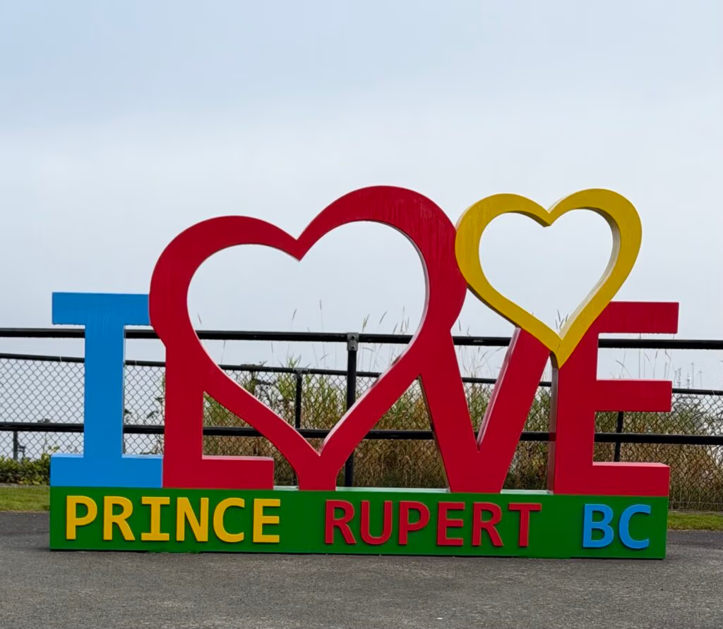
Prince Rupert has one of those origin stories that reads like it was written by someone with big dreams that never quite panned out the way they were pitched. The site sits on Kaien Island, in the traditional territory of the Tsimshian people, who traded through this harbor for thousands of years before anyone thought to name it after European royalty. In 1906, the Grand Trunk Pacific Railway ran a nationwide naming contest — with a $250 prize — and settled on “Prince Rupert,” after Rupert of the Rhine, the first governor of the Hudson’s Bay Company, a man who never actually set foot in Canada.
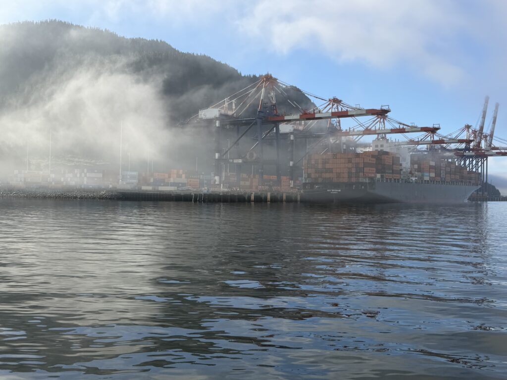
The railway’s president, Charles Hays, picked Kaien Island because its harbor is the third deepest natural, ice-free harbor in the world, and because Prince Rupert sits roughly 500 miles closer to Asia than any other North American port — close enough that boosters promised it would become “the fish market of America… the gateway to the Orient”. Hays never got to see it built. He died on the Titanic in 1912, two years before the first train finally rolled into town in 1914. The city was formally incorporated in 1910, and the grand plans for a rival to Vancouver never quite materialized — but the town found its footing anyway, first as the self-proclaimed Halibut Capital of the World, then as a major U.S. and Canadian troop and supply base during World War II, when its population briefly swelled to over 21,000. Today the cranes we passed on our way in are part of that same original bet on geography finally paying off — Prince Rupert’s container terminal has grown into one of the busiest deep-sea ports in Canada.
There’s a kind of stillness in the air now as we point toward Ketchikan. I’m hoping we make it in the next couple of days — we’ll just have to see where that takes us.

Prince Rupert, British Columbia to Foggy Bay, Alaska

Lorem ipsum dolor sit amet, consectetur adipiscing elit. Ut elit tellus, luctus nec ullamcorper mattis, pulvinar dapibus leo.

Fog, the Border, and a Night at Foggy Bay
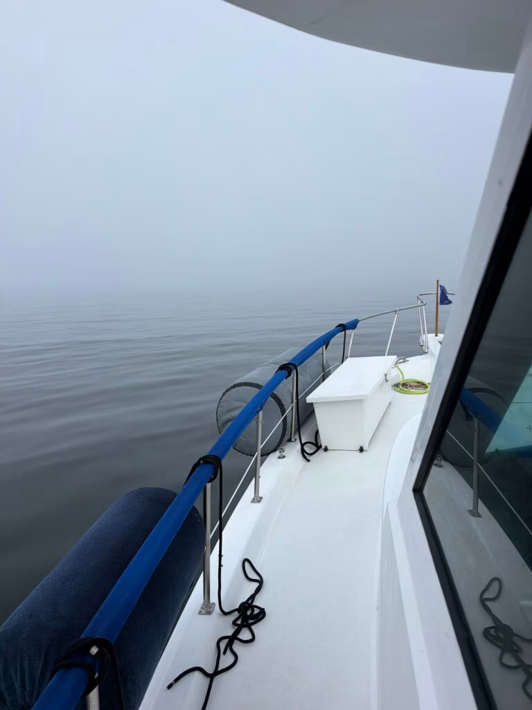
We were up early again the next morning, and there was real excitement in the air — today we were crossing Dixon Entrance. It’s a notorious stretch, wide open to the Pacific with nothing to break the swell, and it has a reputation for turning ugly fast. Our run across was about 30 to 40 miles, and we started right into a wall of dense fog — visibility down to maybe 20 or 30 meters in front of the boat. We eased out slow and careful, leaning hard on the radar. Robert did an excellent job keeping it dialed in and watching for ship traffic, while Jennifer took up a post on the bow as an extra set of eyes. Khris took up her post as well.   It was a real team effort getting us clear of the harbor and pointed the right direction. After an hour or two the fog finally burned off, and we hit the open water of Dixon Entrance in clear skies — a mild, easy ride the rest of the way across.
A Little History on Dixon Entrance
There’s a reason everybody talks about Dixon Entrance with a bit of caution — it’s the last big open-water gap boaters have to cross before the shelter of Southeast Alaska’s inside waters, and it’s fully exposed to whatever the Pacific wants to throw at it. The Haida, who have crossed it for generations between Haida Gwaii and Prince of Wales Island, called it Seegaay long before any European charted it. It got its current name in 1787–88, when the naturalist Sir Joseph Banks named it for Captain George Dixon, a Royal Navy officer and fur trader who surveyed the passage while sailing his ship Queen Charlotte through it.
What most people crossing it never realize is that we were sailing straight through one of the longest-running disagreements between the US and Canada. The stretch of water is still disputed — Canada considers the “A-B line,” set by an international tribunal back in 1903, to be the actual maritime boundary, while the US maintains it only ever defined land, and that the real sea boundary runs down the middle of the entrance instead. More than a century later, nobody’s settled it — which meant that somewhere out in that fog, we technically crossed a border that two governments still can’t agree on.
By the time we reached the far side, we turned toward Foggy Bay, and getting in was a little dicey — tight quarters and a bit of current to manage. We pulled in around 3 o’clock in the afternoon, spotted some fish working the surface on the way, and passed quite a few fishermen anchored up in the bay already. Chris and Jennifer put together a wonderful supper for everyone once we were settled. I parked the boat in a spot where the waves off the bay kept rolling in on us all night, so it was a bit of a rough one — nobody slept great. I did manage one good picture, of the moon lighting up the water. It looks like a sunset, but it’s actually the moon.

A Little History on Foggy Bay
Foggy Bay sits on the east shore of Revillagigedo Channel, and — fittingly, given our morning — it earned its name honestly. The U.S. Coast and Geodetic Survey named it back in 1880, taking the name straight from nearby Foggy Point . The channel its opens onto was named more than a century earlier, in 1792, by the Spanish naval officer Jacinto Caamaño, one of the many European explorers who charted this coastline before it belonged to any nation at all. Boaters who’ve stopped here before us have described it as a wonderfully remote overnight — black bears on the shoreline, flocks of seabirds keeping company, and a stillness that makes it feel like the perfect last stop before civilization. It’s a fitting one for us too — Foggy Bay was our first anchorage back in home waters, tucked into Alaska proper after a long run through Canada.
Tomorrow, weather and current willing, we’re hoping to make it all the way into Ketchikan. Can’t wait for that day to come around.

Foggy Bay to Ketchikan

Making It to Ketchikan
Woke up around 6 this morning, and it wasn’t the best sleep — the boat rocked more than it should have, honestly on me for not dropping the hook quite right and getting us clear of the swell. A short, restless night. But we were up and moving anyway, pushed off the anchor by 6:30 and pointed north, and everybody was buzzing with anticipation despite the tired eyes. Jennifer cooked up a batch of breakfast burritos — really good ones — and with hot coffee in hand, we were on our way.
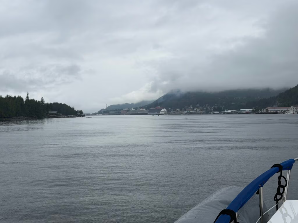
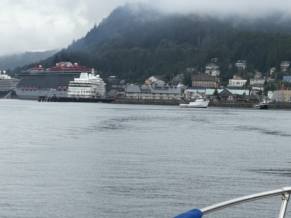
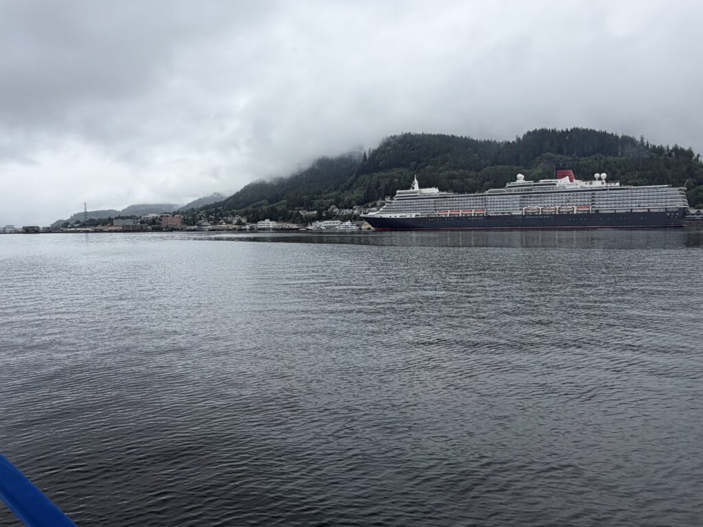
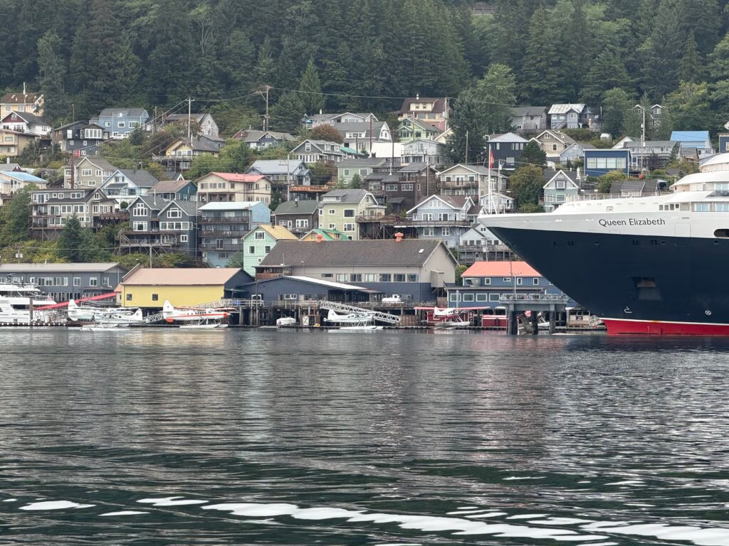
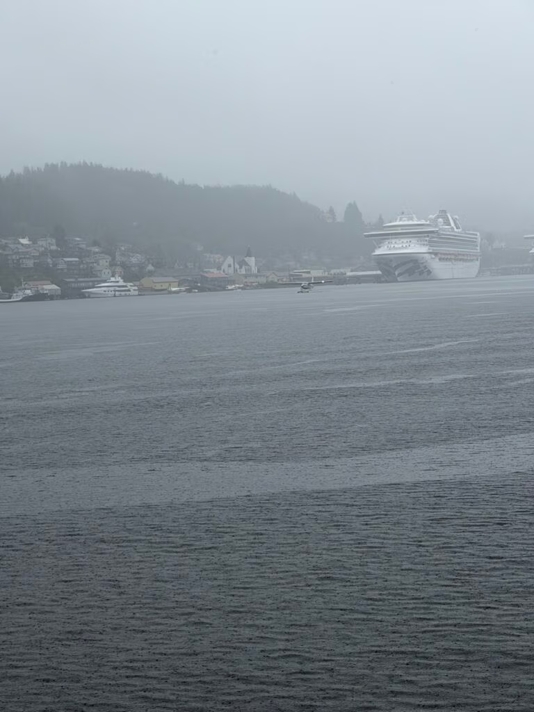
As we ran north, we wove through channels thick with fishing boats, nets out, working the salmon runs alongside us. Traffic started picking up fast, and off in the distance we could make out cruise ships, towering over the tree line long before we could see the town itself. Then, pulling in, it hit us all at once — floatplanes taking off on either side of us, big ships anchored all around, little boats darting back and forth everywhere you looked. It felt like stepping into a different world, everything suddenly fast and in motion after weeks of quiet channels and empty anchorages.
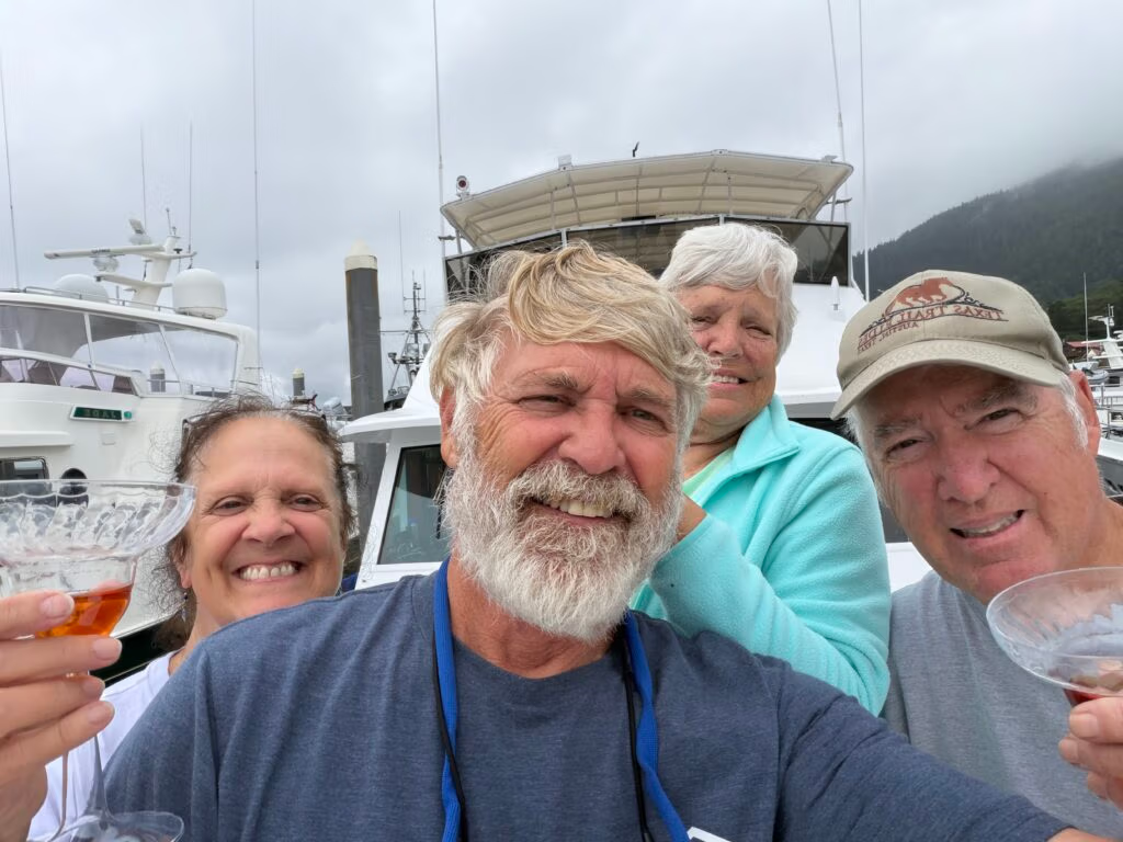
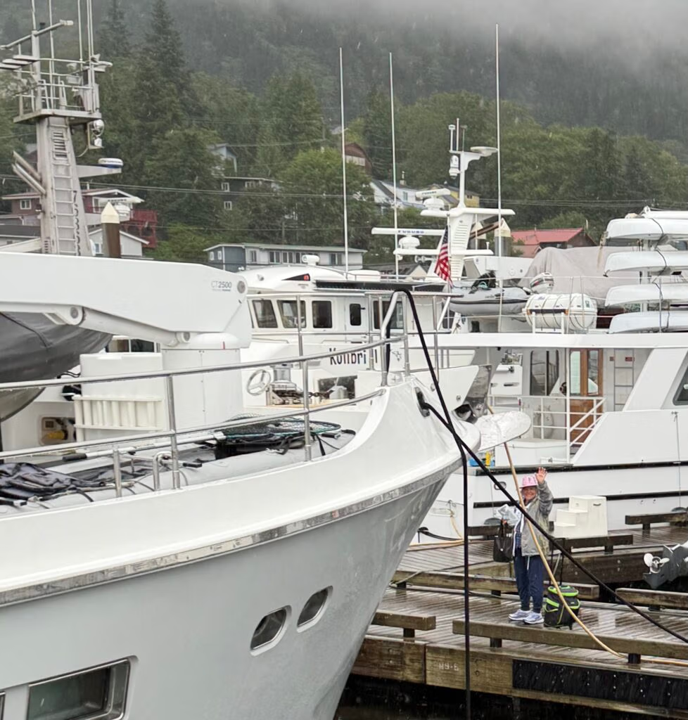
We got the harbor master on the radio and sorted out where we’d spend the night, then pulled into town absolutely jubilant — happy just to have made it. We’d made it all the way north to Ketchikan, which honestly, for a while there, I wasn’t sure we would. I couldn’t tell you exactly why I doubted it, but we did, and there’s something to be said for proving yourself wrong. We tied up at dock 9-13 in the South Marina, took a minute to just breathe, and then broke out the champagne glasses for a toast. That’s the photo that goes with this one.
A Little History on Ketchikan
There’s a reason it feels like a different world pulling into Ketchikan after weeks of remote anchorages — it’s genuinely a different kind of place, and it’s been that way for a long time. Long before any of the docks or floatplanes existed, Ketchikan Creek was a summer fish camp for the Tlingit, who named it Kitschk-hin, usually translated as “thundering wings

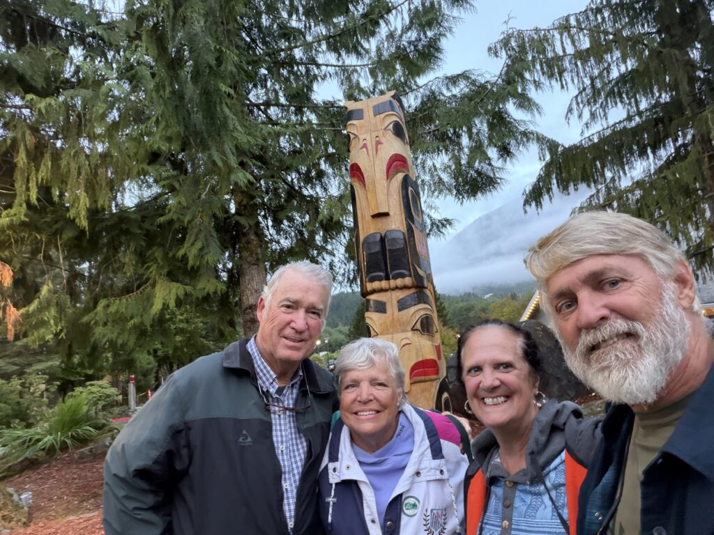
Salmon built the place. By the early 1930s, Ketchikan had more than a dozen canneries packing out 1.5 million cases of salmon a year, and it earned the nickname it still carries today — the Salmon Capital of the World. It’s also known as Alaska’s First City, not because it was the first city founded in the territory, but because it’s the first town most boats and ships reach heading north up the Inside Passage — which, as of this afternoon, includes us (One Million Places). And scattered through town and at sites like Saxman Village and Totem Bight, Ketchikan holds the largest collection of standing totem poles anywhere in the world, some of the oldest pieces dating back 175 to 200 years.ief Kyan, and opened a saltery and general store with his partner George Clark. Ketchikan was officially incorporated in 1900.


Standing on the dock with a glass of champagne in hand, looking at cruise ships and floatplanes after so many quiet anchorages behind us, it was hard not to feel the weight of the miles it took to get here.
A lot of people had a hand in getting us this far north — with advice, encouragement, and just plain support along the way — and Jennifer and I want to thank every one of them. We’re already looking forward to next year, and pushing even further north than this. For now, though, we’ve got another month of this trip ahead of us, and we can’t wait to see where it takes us.

A Dedication
This year’s trip is dedicated to Boone Kenyon, the previous owner of Aku-Aku, whose spirit still lives on in this boat. Boone poured a tremendous amount of care and effort into her over the years, and so much of what makes Aku-Aku what she is today — the boat that has carried us safely through fog, rough water, and quiet anchorages alike — we owe to him.
We also want to thank Captain Marty, Peg, Matt, Peter, Sharon and our families  along with the many others who have lent their knowledge, their hands, and their encouragement along the way. This dream — the boat, the trip, all of it — would not have been possible without you.
Thank you, all of you. This one’s for you.

Snow Day in Ketchikan

Rain, Salmon, and Sourdough: A Day in Ketchikan
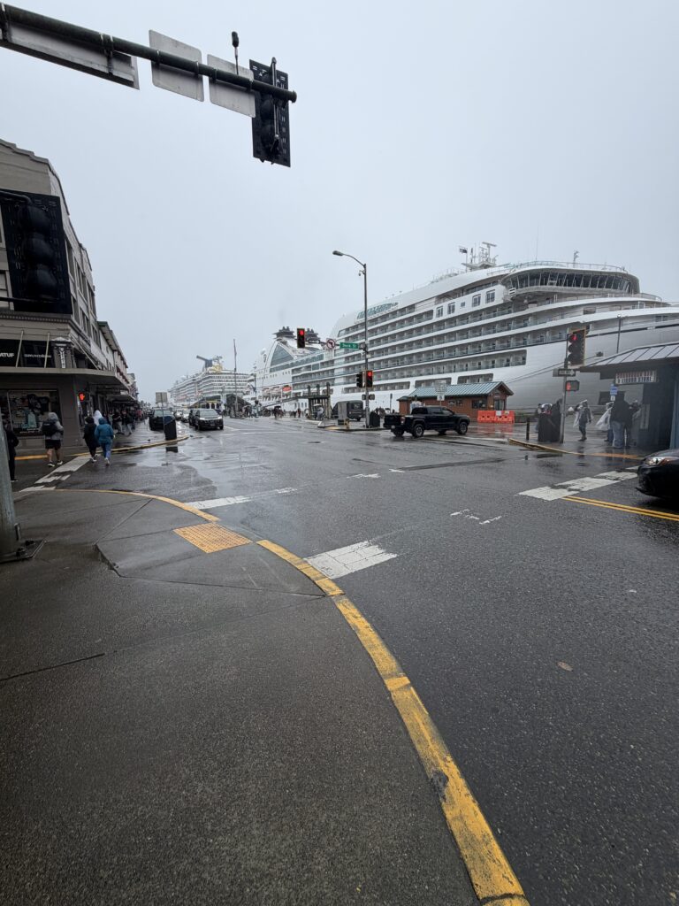
Ketchikan greeted us the way it greets almost everyone — with rain. Locals joke that the town doesn’t really have weather, just rain in different moods, and they’re not exaggerating: this stretch of the Inside Passage averages around 150 inches of precipitation a year, enough to have earned Ketchikan the nickname “Rain Capital of Alaska” alongside its more famous title, “Salmon Capital of the World”. So when Jennifer and I stepped off Aku-Aku into a soft, steady drizzle, we simply zipped up and went looking for the city anyway.
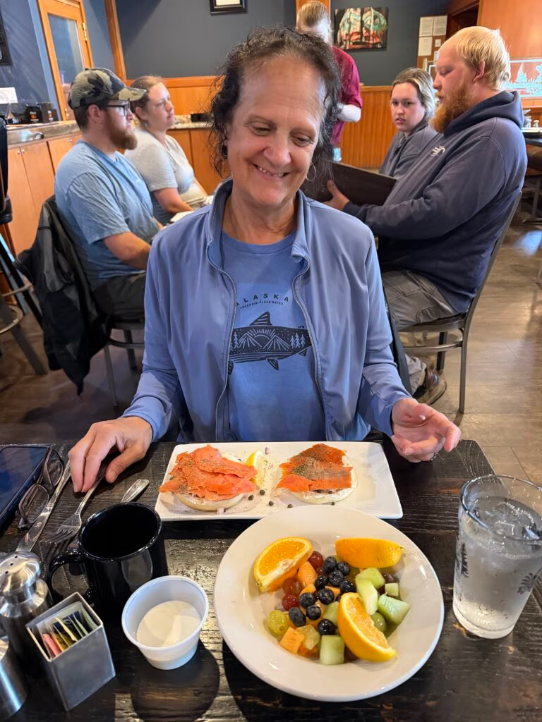
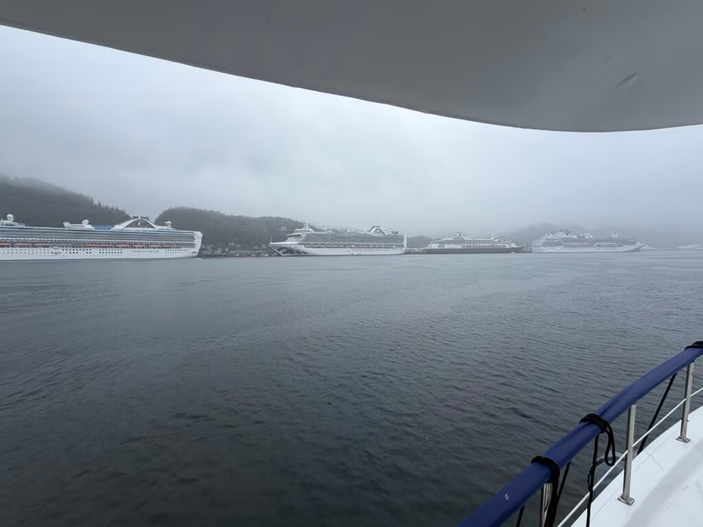
We flagged a cab and asked to be taken to the top of the hill, where a little restaurant looks straight down over the harbor. From up there, the whole town made sense at a glance — the boat traffic, the crowded docks, and five or six cruise ships stacked against the waterfront like they’d been parked by the same valet. Below us, streams of people in matching lanyards were working their way up the hillside on foot, part of what everyone here just calls “the salmon line” — the same walking route the fish take, minus the fish. Over biscuits and gravy, and a bagel piled with lox and smoked salmon, we watched the harbor come to life. It was a good, unhurried way to start a wet morning.
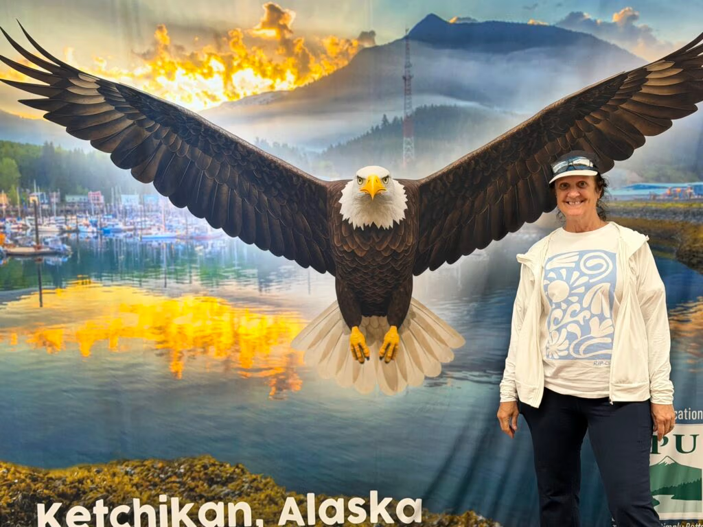
Ketchikan has been feeding people off that harbor for a long time. The town got its start in 1885 when Mike Martin arrived from Oregon and built a saltery at the mouth of Ketchikan Creek, on a site the Tlingit had already used as a summer fish camp for generations. Within a few decades the town had thirteen canneries packing more than a million and a half cases of salmon a year, enough to make Ketchikan the largest town in the territory and earn it a welcome arch downtown proclaiming it the “Salmon Capital of the World”. Even the name Ketchikan is said to come from a Tlingit phrase describing an eagle with its wings spread, a reference to a waterfall near the original village site — fitting, for a town that has never quite stopped being about the water and what swims in it.
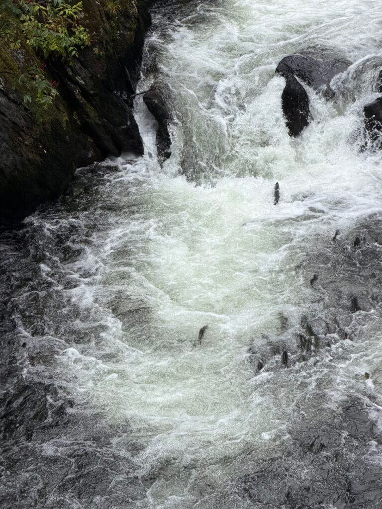
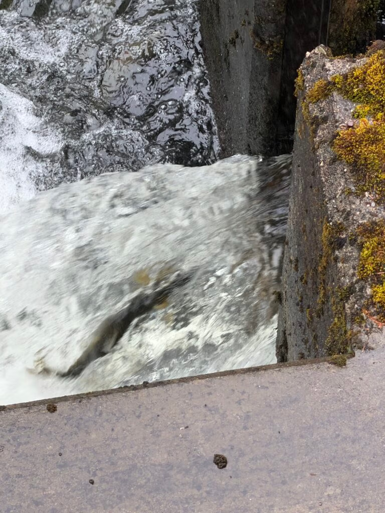
After breakfast, we walked back down the hill along the creek, following the same trail the salmon use, and it’s a strange kind of trail. Lower down, near where it meets the old boardwalk of Creek Street, there’s a salmon ladder where the fish fight their way up a set of rushing steps, throwing themselves at the current again and again just to gain a few feet of ground. That stretch of hillside has its own crooked history — it was once known as the Married Man’s Trail, a muddy shortcut that let visitors slip quietly away from the saloons and boardinghouses of Creek Street, Ketchikan’s red-light district from the early 1900s until it was shut down in 1954. These days it’s a boardwalk full of tourists instead of a discreet escape route, but the creek underneath hasn’t changed a bit.
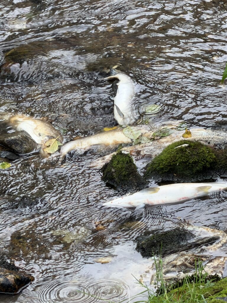
Further up the stream, the mood shifted. The same fish we’d been cheering on a few hundred yards back were now lying still along the banks — spent, having finally reached the place they’d spent their whole lives swimming toward. It’s hard to describe watching that up close. There’s something almost heroic about a fish that fights current, rapids, and its own exhaustion for one destination, only for that destination to be the end of it. Jennifer and I didn’t talk much on that stretch of the walk. Joy and grief, back to back, in the space of a few hundred yards of water — there’s probably a lesson in there about arriving somewhere and what it costs to get there, but we let it sit instead of trying to name it.
By afternoon the town had flipped its personality entirely. The cruise ship crowds that had been dropped off the day before were out in force, and Ketchikan’s small downtown was doing its best impression of a big city — packed sidewalks, packed shops, packed everything. Ketchikan sees roughly a million cruise visitors over a summer season now, a business that really only took off in the 1970s and has been building ever since. We wandered through it for a while, then let the day do what it always does here: as evening came, the ships reloaded their passengers and pulled out one by one, and the crowds went with them. What was left behind was the town’s other self — quieter, slower, and mostly local. We found our way into the Sourdough Bar on Main Street and spent the rest of the evening with the people who actually live here, which always feels like the better version of any port.
We walked home through the rain, because of course we did. It’s just what Ketchikan does.
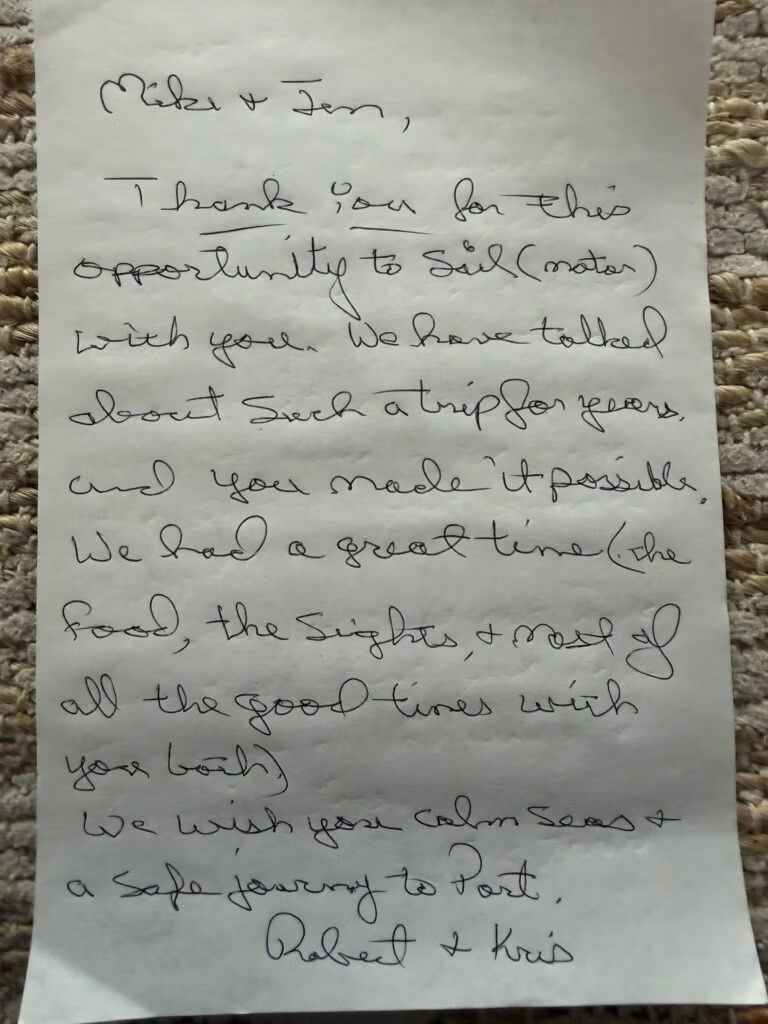
Tonight we made the call: it’s time to point south. Chris and Robert head out tomorrow, and their departure marks the start of our own turn back down the coast. There’s a little bit of sadness in watching the crew shrink, but mostly there’s momentum — the same restless feeling that got us up here in the first place, just pointed the other direction now. We’re looking forward to the trip home, and even more curious about what’s waiting for us after that.

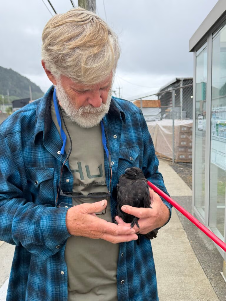
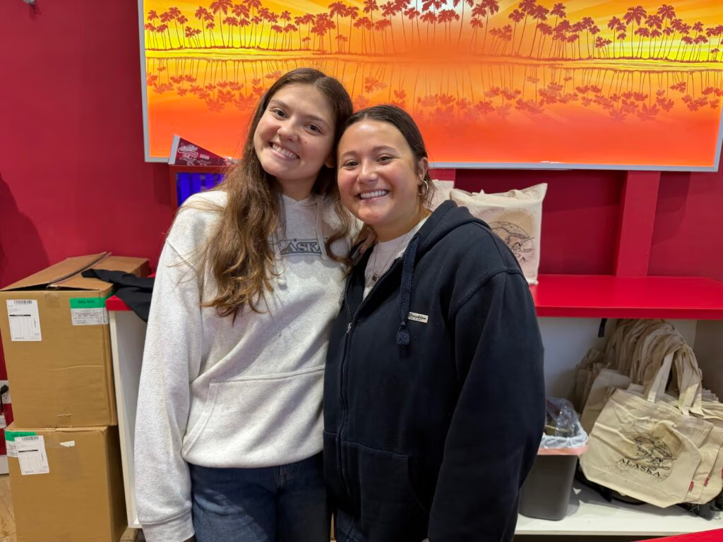
Two of Alaska's wonderful people..

Ketchikan to ????? Headed South, Khris and Robert Depart

 Foggy Farewell Out of Ketchikan
We were headed south today — out of Ketchikan, bound for Prince… No Foggy Bay. Even saying it out loud, the tongue wanted to reach for Prince Rupert before the day was ready for it. That’s the thing about a summer spent working your way up one coast and back down another: the names start to blur together, and every morning feels like it’s reaching for tomorrow before today has even had its coffee.
Chris and Robert left this morning, and it was a sad thing to watch. We’d had a good run with them — the kind of stretch you can tell, even while you’re living it, you’ll be missing before long. I know they would have stayed on longer if they could have. But airfares out of a place like Ketchikan are no small thing, and getting a flight out of some of these towns can be its own little expedition, timed around the one jet a day or the weather that decides whether it flies at all. So we said our goodbyes on the dock, watched them go, and turned Aku-Aku’s bow south into a grey, drizzly morning with the cruise ships already lining up along the waterfront for the day’s business.
It rained on us most of the way, a steady, unhurried kind of rain, the sort that isn’t trying to make a point, just settling in for the day. Jennifer and I didn’t mind it much. It made for a quiet, easy passage, and we spent a good part of it talking about everyone who’s come aboard this summer and gone again — Peter, Chris, Robert, all the people who’d shared a piece of this trip with us and then had to peel off back into their own lives. There’s a particular kind of nostalgia that shows up on a rainy day at the helm, reminiscing about people who aren’t there anymore while the coastline slides by in the fog. It suits the mood of heading south, somehow — every mile back the way we came was also a mile further from the summer we’d just had.
Foggy Bay earned its name honestly, and today it made sure we knew it. Captain George Vancouver named Foggy Point, at the bay’s entrance, back on August 4, 1793, while charting this stretch of coast aboard HMS Discovery — about as literal a piece of naming as exists on any chart, and apparently accurate enough that the description stuck for well over two centuries (Alaska Guide). The U.S. Coast and Geodetic Survey borrowed the name for the bay itself in 1880, and by the time we nosed in this evening, low cloud sitting right down on the water, we were fully prepared to agree with both of them. It’s a small pocket anchorage, tucked well back into its own little inlet, and other boats have described it as barely a thousand feet across at its tightest — which sounds cozy until you’re the one trying to find the one patch of bottom in it that won’t have you rolling and slapping around all night. We worked our way around longer than I would have liked, testing a few spots that looked fine on the chart and felt wrong the moment the hook touched down, before we finally found a corner tucked enough out of the swell to let us breathe easy.
Once we were properly settled, we did what you do on a night like that: we slept upstairs, close enough to the helm to keep half an ear on the anchor alarm and the other half on the wind. It’s not glamorous, keeping a watch like that, but there’s something almost comforting about it too — lying there listening to the boat find its own rhythm against the current, trusting the anchor, checking anyway. Nothing moved. Nothing needed to. It was, in the end, a good, quiet night in a bay that’s been living up to its name for well over two hundred years.
Tomorrow we point toward Prince Rupert for real this time, which means crossing Dixon Entrance — the stretch of open water that has, for more than a century, marked the actual line between Alaska and British Columbia, ever since an international tribunal settled the long-running Alaska boundary dispute in 1903. It’s a fitting bit of geography to wake up to. We’re not just moving from one anchorage to the next anymore — we’re closing out Alaska, crossing back into Canadian water, and, one town at a time, making our way home.

Foggy Bay to Prince Rupert

Forty Whales and a Border Crossing
We left Foggy Bay early this morning, and it let us go gently. The fog that gave the place its name had burned off sometime in the night, the rain had finally quit, and we woke to one of those clean, pink sunrises that makes you forget you spent the previous evening hunting for a spot to drop the hook that wouldn’t roll you all night. It felt like the bay was apologizing. We pulled the anchor in calm water under a genuinely beautiful sky and pointed Aku-Aku toward Prince Rupert, eight or nine hours out.
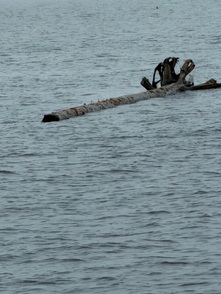
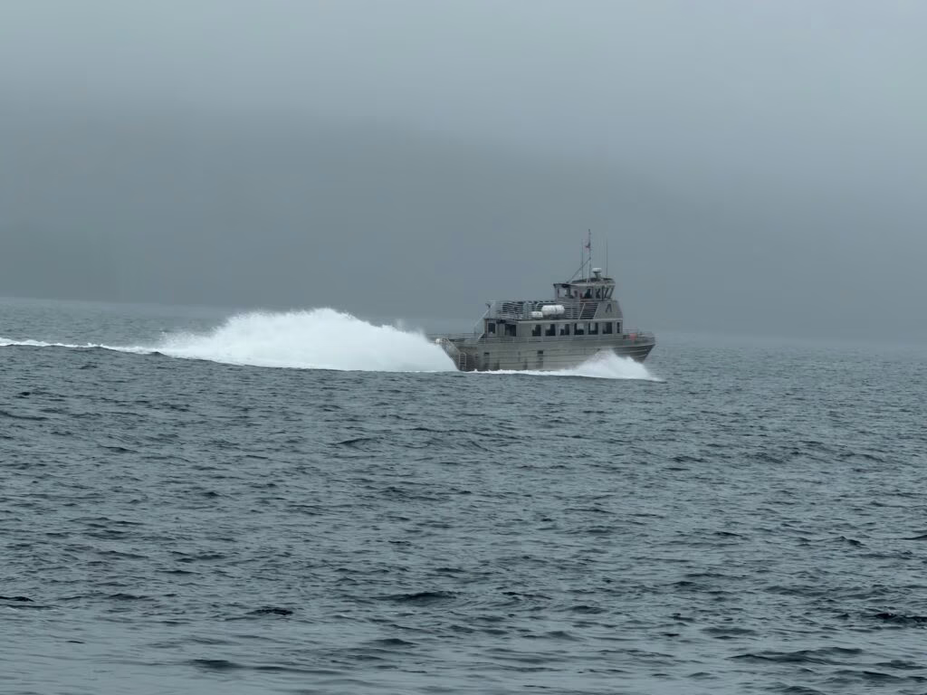
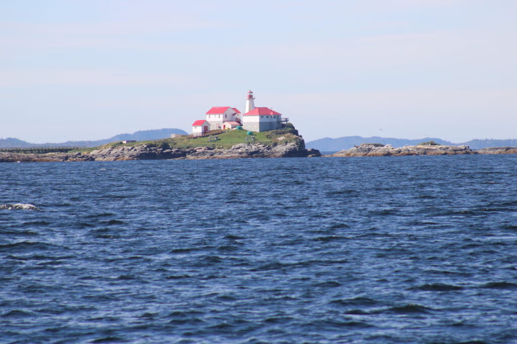
Along the way you keep one eye on the scenery and the other on the water directly ahead of you, because this stretch of coast has a habit of littering itself with deadheads and drifting logs — the kind of thing you never see until you’re right on top of it. We picked our way past a few, watched a lighthouse slide by that’s been standing guard over this stretch of Chatham Sound since 1906, built after a string of wrecks — including the collier Bristol, lost with several of her crew in a gale — made it clear that ships bound for Skagway and the Klondike goldfields needed a light out on Green Island. A fast boat went tearing past us headed the other way. And then, up ahead, the first blow.
I slowed the boat right down and Jennifer went out on deck with the camera, and what started as one whale became something neither of us has ever seen the like of. One blow turned into two, then a dozen, and then whales everywhere — blowing, feeding, working the water all around us in every direction we looked. Chatham Sound and the waters around Dixon Entrance are known for exactly this: it’s humpback country, with hundreds of individually catalogued whales documented feeding here through the summer months, but nothing in that statistic prepares you for what it looks like when the theory shows up in person. I couldn’t begin to give you an honest count — forty, fifty, maybe more — and the cameras, as they always seem to, gave up trying to hold onto it long before we did. At one point a single whale came right up along our bow, inside thirty meters, and just hung there a moment, giving us what could only be described as a proper side-eye, like it was asking what exactly we thought we were doing in its ocean. Jennifer and I are not going to forget that stretch of water any time soon.
Everything after that felt almost too calm by comparison — a beautiful, uneventful run the rest of the way in, which after a morning like that was no complaint at all. We came into Prince Rupert on a clear afternoon, a town that only exists because a railway needed somewhere to put its western terminus. The Grand Trunk Pacific Railway ran a nationwide contest in 1906 to name the place, offering $250 for the winning entry, and settled on Prince Rupert of the Rhine — first governor of the Hudson’s Bay Company, a man who as far as anyone can tell never once set foot in Canada. We tied up, cleared customs back into the country, and did the least romantic and most necessary part of any passage: a grocery run, restocking the boat before tomorrow. Then it was a quiet night at anchor, the good kind of tired that comes from a day that gave you everything — fog lifting, sunrise, whales beyond counting, and a border crossed.
Tomorrow we head for Lowe Inlet, up Grenville Channel, a passage Captain Vancouver himself charted and named for the British statesman William Grenville — steep-walled and waterfall-hung the whole way, with Verney Falls waiting at the far end of it (Encyclopedia of BC). After a day like today, we’re curious what it has in store for an encore.

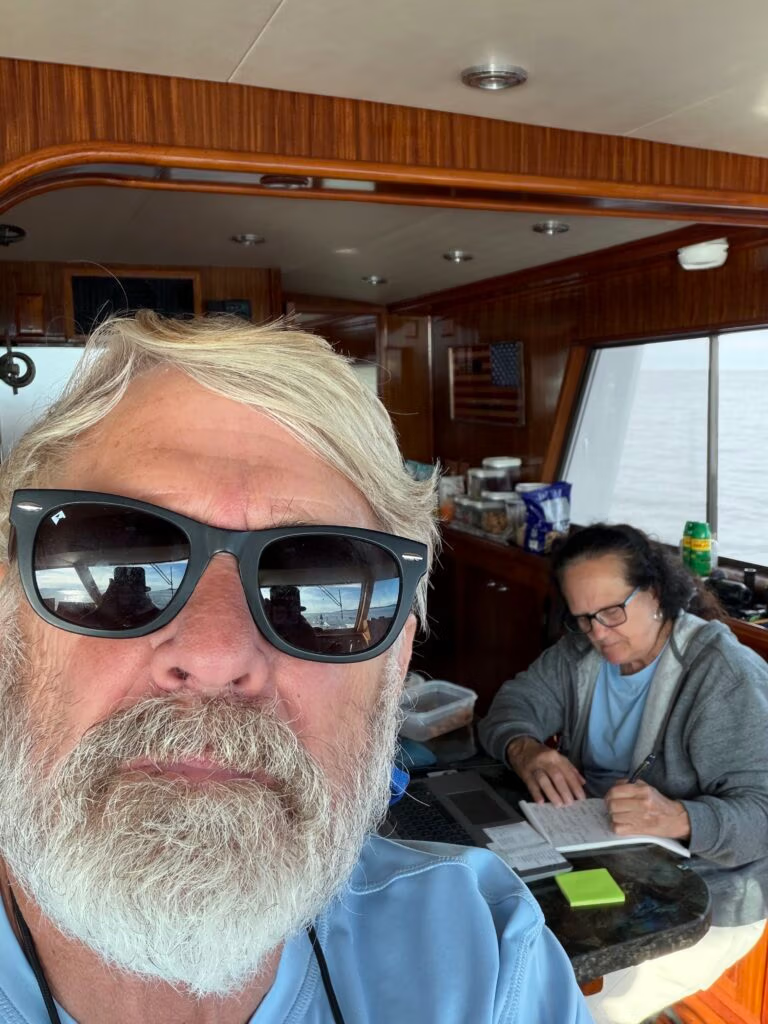
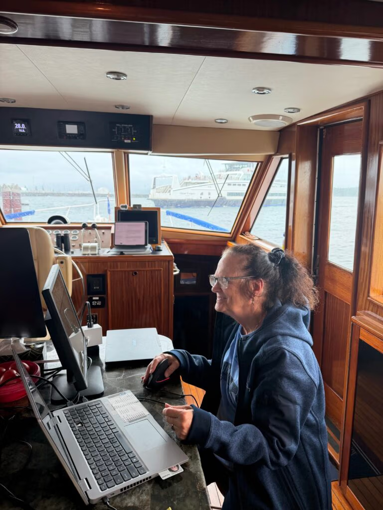
Jennifer working while we travel...

Prince Rupert to Lowe Inlet

A Second Visit and a First Night at Lowe Inlet
We slipped our lines in Prince Rupert at 9  this morning, Jennifer up on the bow handling them while I backed us out into the fairway. The morning was clear with just a skiff of fog sitting on the water, and as we worked our way out we passed the same big container ships we’d tied up alongside the day before, still loading out for wherever they were headed next. Jennifer got everything stowed, and we pointed south down Grenville Channel for Lowe Inlet, four or five hours away.
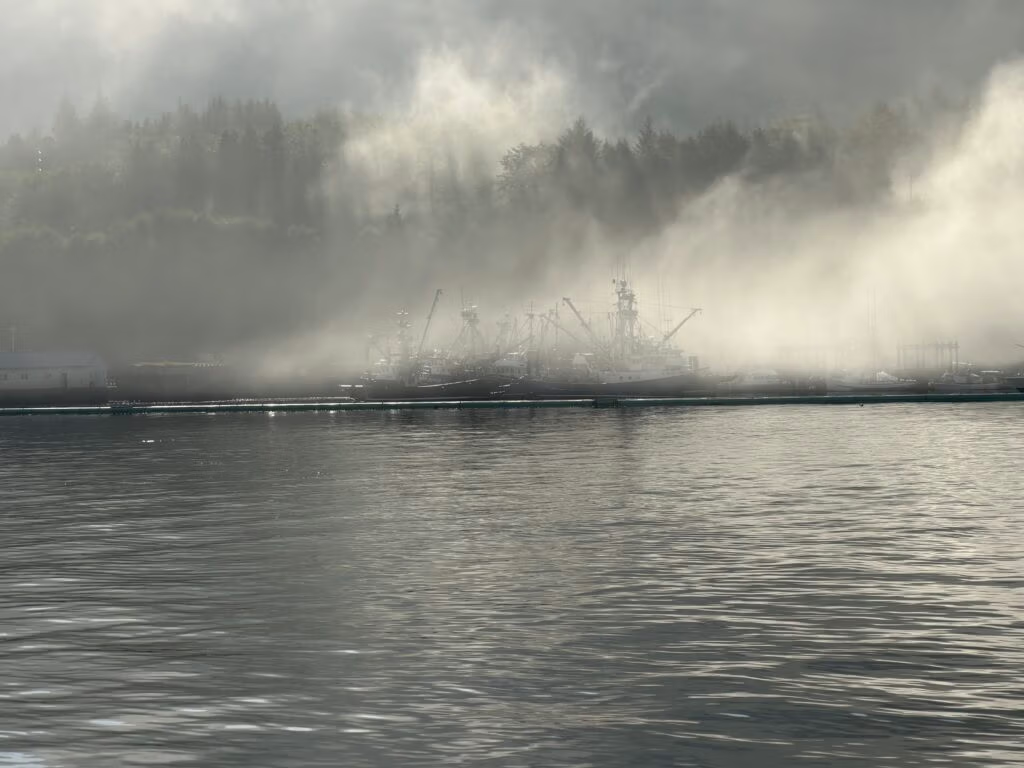
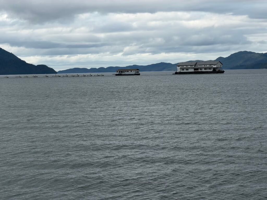
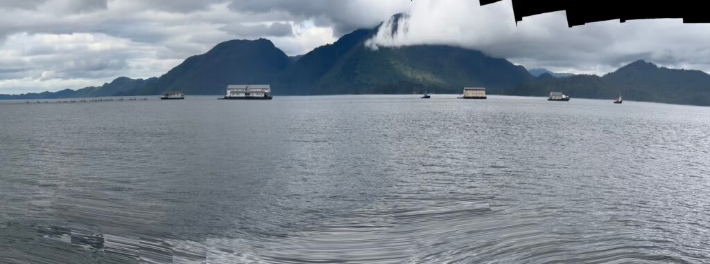
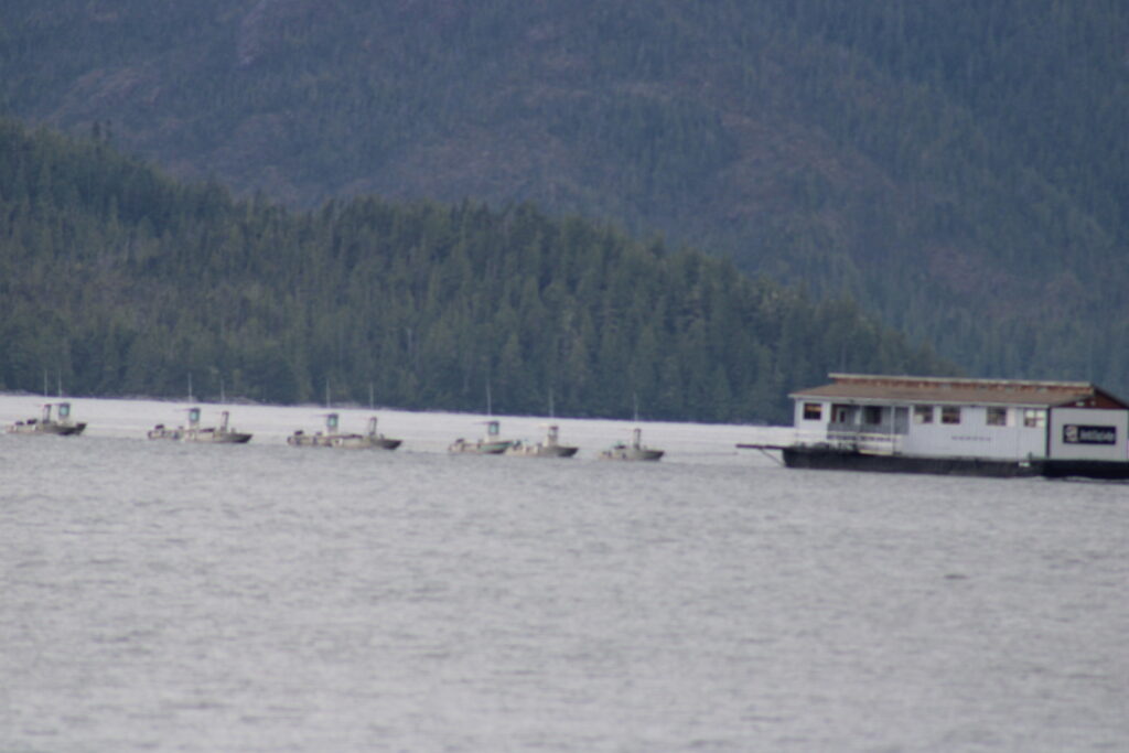
Partway down the channel we came across a fish processing plant, the whole operation packed up and on the move as the salmon season wound down. It’s a strange thing to see out on the water — an entire shore-based-looking operation that isn’t tied to shore at all. Boats like these exist because the fish can’t wait: rather than run every catch back to a fixed cannery, floating processors and packer tenders follow the fleet and the season itself, buying fish straight off the boats, chilling or freezing it, and then picking up and relocating once a run finishes in one area and starts in another. Seeing one under tow, packed up and heading off to its next job, felt like watching the season itself get folded up and put away for the year.
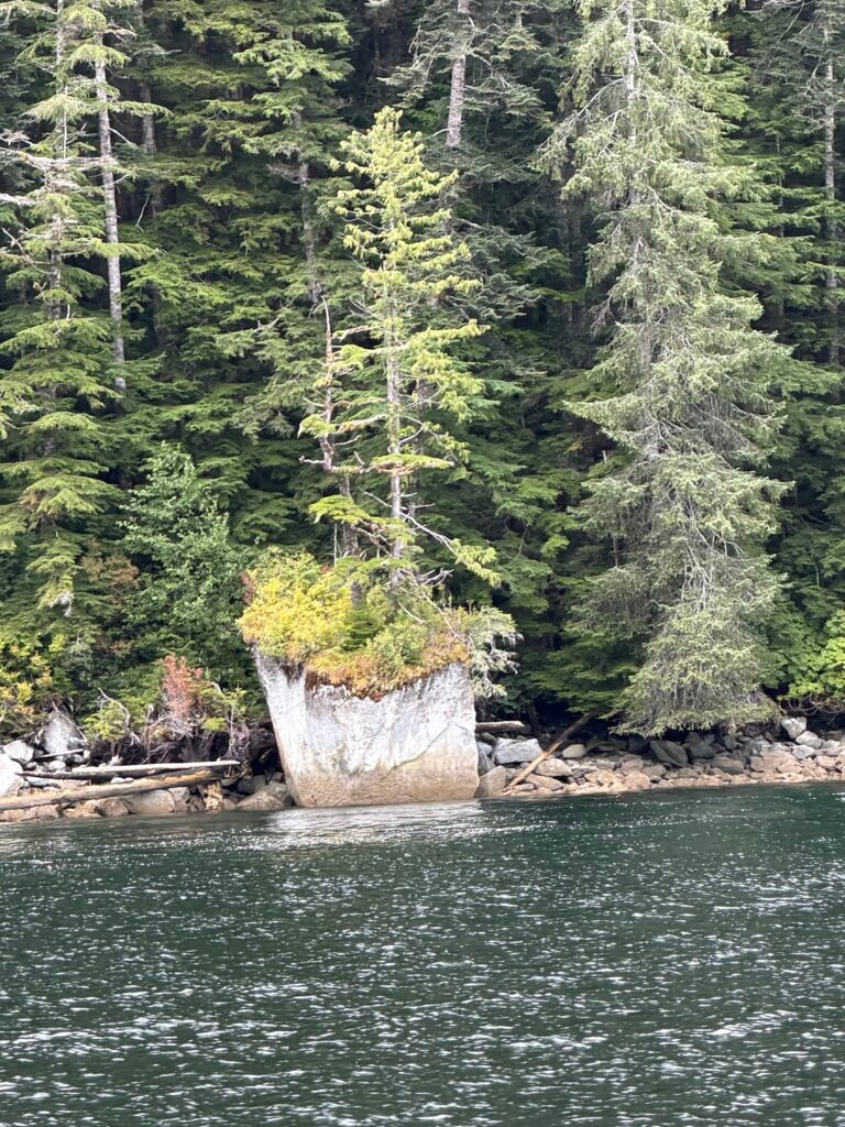
The rest of the run down the channel kept giving us things to look at. We passed a rock with a lone tree growing straight out of its top, bushes clinging on along the shoreline beside it, and a waterfall coming down through the trees — Grenville Channel has a habit of doing that, steep-walled the whole way with water finding its way down the rock face every mile or so. And then, right on schedule, Lowe Inlet.
It got us again. This is our second time in through that narrow entrance, but the first time we’ve actually dropped the hook and stayed the night, and it’s a different kind of impressive when you’re not just passing through for an afternoon look. The inlet cuts into the mainland off Grenville Channel, and the Tsimshian name for it is Kmodo — this has been a fishing site at the head of the inlet, around Verney Falls, for centuries, and the land there now sits within a reserve belonging to the Kitkatla First Nation. The inlet itself takes its English name from Thomas Lowe, a Hudson’s Bay Company trader, and there was a working cannery in here for four decades — built in 1890 by the Lowe Inlet Packing Co., absorbed into the BC Packers Association in 1902, and finally closed up after the 1930 season and handed off as a camp for the Claxton Cannery. There’s nothing left of it to see now, just the marine park that grew up around the same falls that made the spot worth building on in the first place.
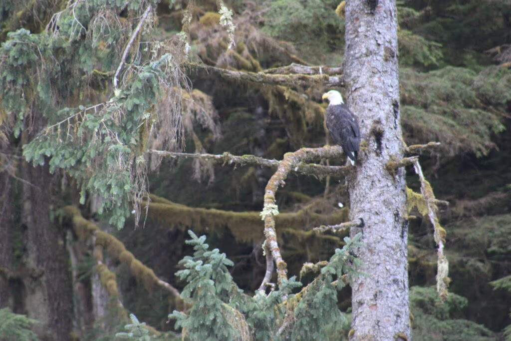
Dusk brought the bears out along the shore, and the eagles were working the treetops above them, which is about the most Lowe Inlet thing that could have happened. We put the hook down, and Jennifer put together a proper dinner — pork roast, mashed potatoes, and corn — and we ate it on deck watching the light go out of the inlet. It was a lovely evening, and about as good a way as we could have asked for to spend our last night at Lowe Inlet before we point the bow south again tomorrow.

These are pictures of the floating fish processing plant on the move.  

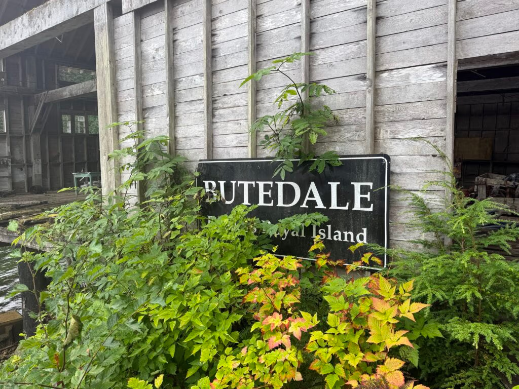
Lowe Inlet to Budedale

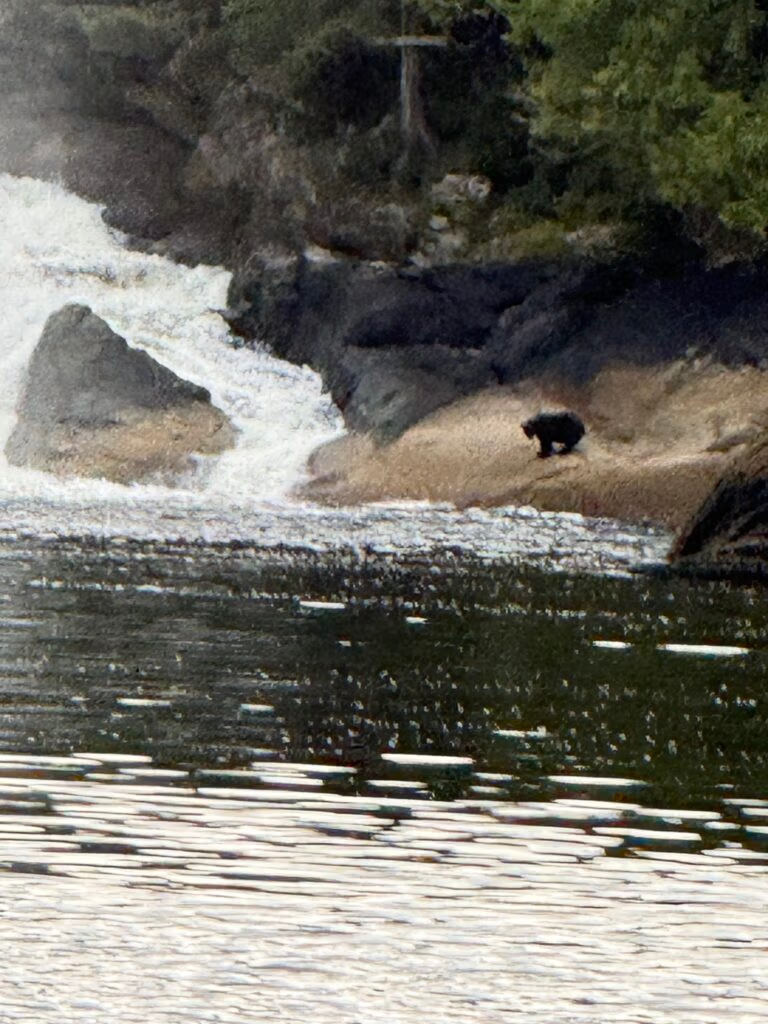
We were up and moving early, off the hook at Lowe Inlet by 6:30, and hadn’t even gotten our bearings before the morning handed us its first surprise. As we swung the bow around to take one last look back at the falls, there was a bear standing right on the rocks beside the waterfall, taking its own long look at the water. We held our position for a minute, cameras up, trying to close the distance enough for a decent shot — but it disappeared back into the trees just as suddenly as it had appeared, gone before either of us could quite believe we’d seen it. We floated on out of the channel and left the anchorage to two other boats still sitting quiet on their hooks — asleep, maybe, or just in no hurry. Hard to tell from out on the water.
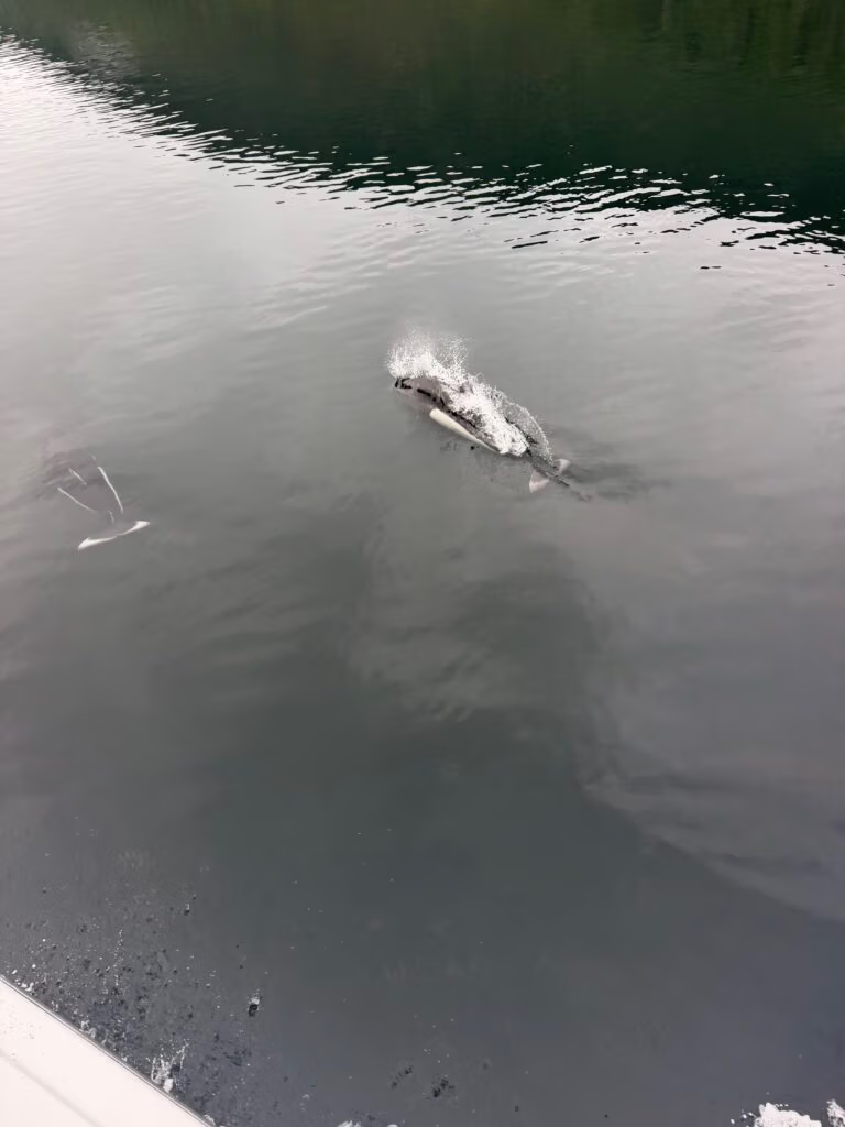
Out in the main channel, Jennifer caught something splashing off the starboard side, and whatever it was closed the distance on us fast. Dolphins — a small pod that fell in alongside the boat and rode along with us for a stretch, shepherding us down the channel like they had somewhere particular they wanted us to go, before peeling off and vanishing just as abruptly as the bear had. Looking back at Jennifer’s photos afterward, the build and coloring point to Pacific white-sided dolphins, the dolphin most likely to escort a boat through these waters — dark backs, a pale flank patch, and a habit of throwing up a “rooster tail” of spray when they’re moving fast, which is exactly the spray-soaked shot she managed to catch. 
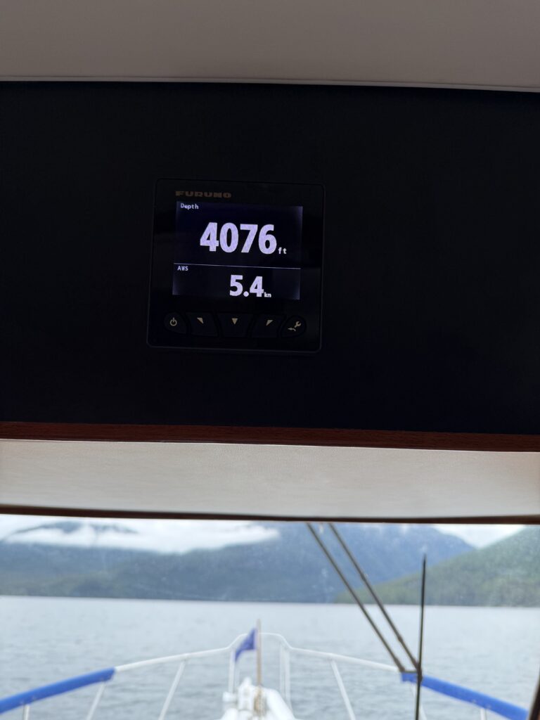
The gauges gave us their own kind of excitement today. The depth sounder read 4,076 feet — a new all-time record for us, and a good reminder of just how deep these coastal channels cut. Overhead, the clouds sat low on the mountains most of the day, occasionally breaking apart just long enough for the sun to get a look in, before closing back up again. By the time we were closing in on Butedale, that pattern gave way to steady rain, and we came in wet.
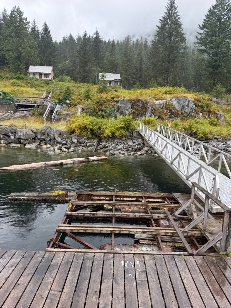
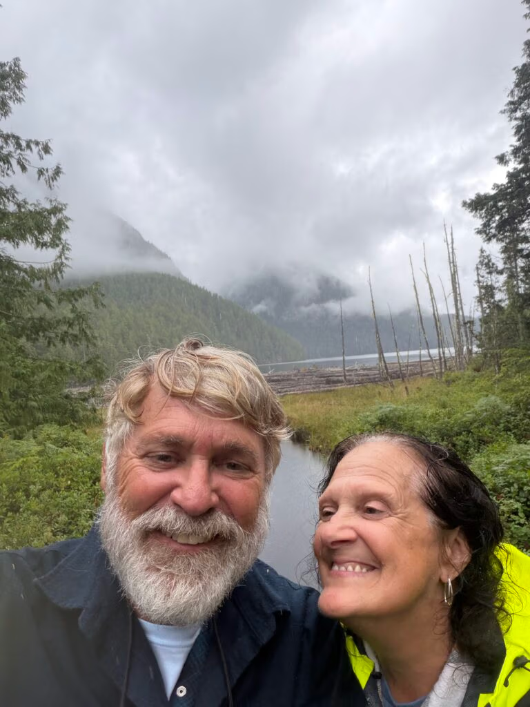
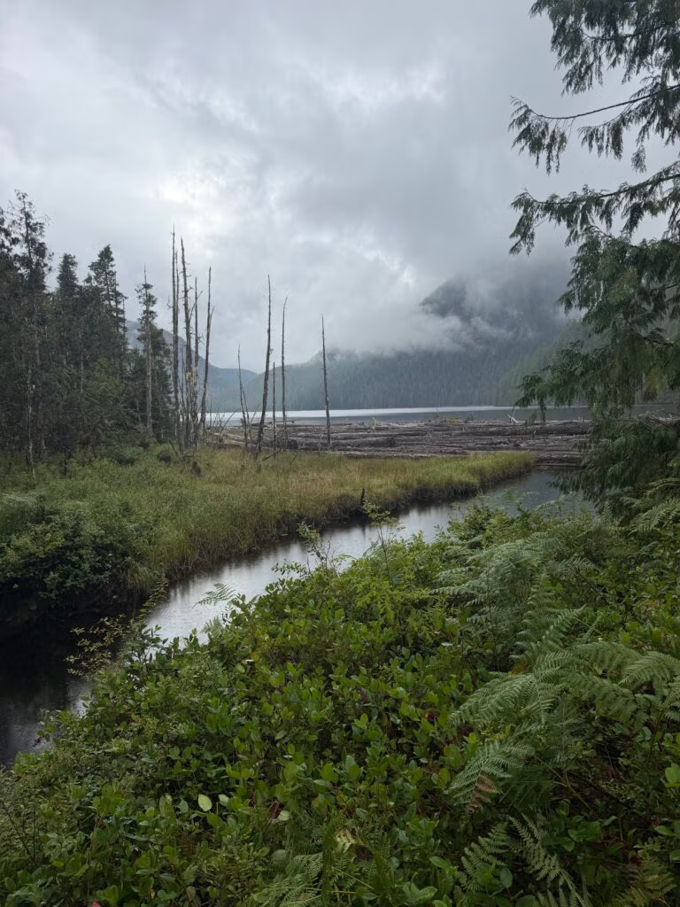
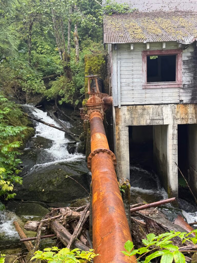
Wet or not, Butedale delivered. Jennifer and I warmed up with tomato soup and grilled cheese sandwiches, and then, because apparently we hadn’t had enough weather for the day, pulled on our rain gear and headed up the hill anyway. The trail took us past the old cabin and kept climbing, all the way up to the lake on the far side, where the old dam still sits. That little dam is the whole reason the town could exist out here in the first place — Butedale generated its own hydroelectric power off Butedale Lake, and by most accounts still could, if anyone got the turbine running again.
A Little History on Butedale
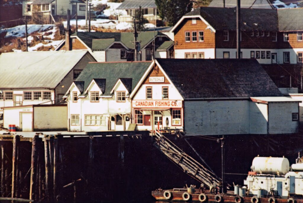
Butedale was built in 1911 by John Wallace, a Scottish immigrant from the Isle of Arran, and the name itself is a nod to home — “Bute” for the Isle of Bute, and “dale,” honoring the family and place that shaped it. Western Packers ran the original cannery, then sold out to the Canadian Fishing Company in 1923, which modernized and expanded the whole operation between 1936 and 1940. At its peak, Butedale carried a summertime population of more than 400 — its own bunkhouses, cookhouse, general store, customs office, and post office, all clustered on pilings around the bay.
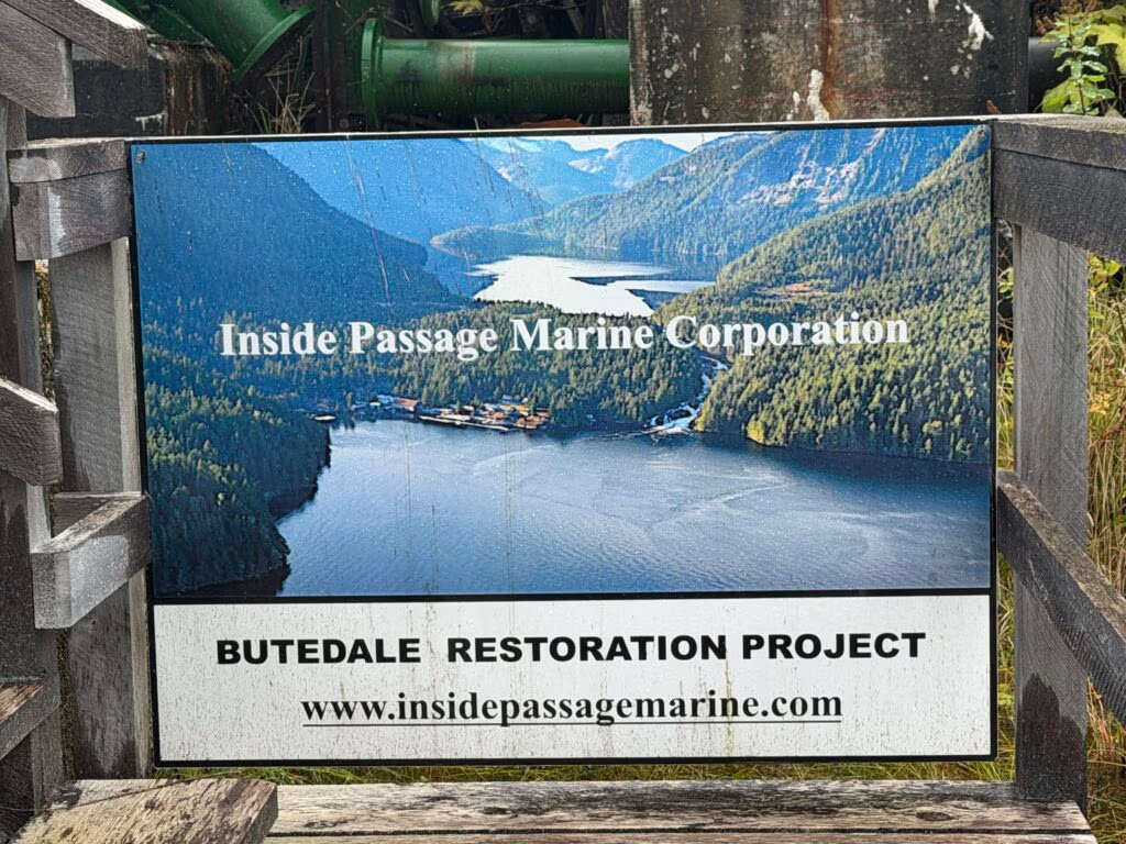
That power came straight from the falls we walked up to see — a small dam on Butedale Lake fed a turbine that could generate up to a megawatt, enough to light the whole town and run the plant, long before most rural BC communities had any power at all. The cannery’s end came almost by accident: heavy snow collapsed the roof in 1950, and rather than rebuild, Canadian Fishing Co. simply shifted production to a new plant it was opening in Prince Rupert. Even after the cannery itself went quiet, the hydro plant kept running for years, mostly so the generator wouldn’t seize up from disuse — which is how Butedale picked up its reputation as the town where the lights were left on long after everyone else had gone. A long-time caretaker named Lou lived on site for decades afterward, giving generator-house tours to passing boaters and telling anyone who asked that the plant had run continuously from 1909 until 1967. Today the buildings we wandered through are the focus of an active preservation effort run by the Inside Passage Marine Corporation, which has spent over a decade documenting the site and stabilizing what’s left of the old town — new access docks, a shored-up warehouse, and a long-term plan built around the same water rights and hydro infrastructure that powered Butedale a century ago.
Standing up at that lake in the rain, looking down at the old dam, it wasn’t hard to picture the place a hundred years ago — full of people, running on nothing but the weight of falling water.
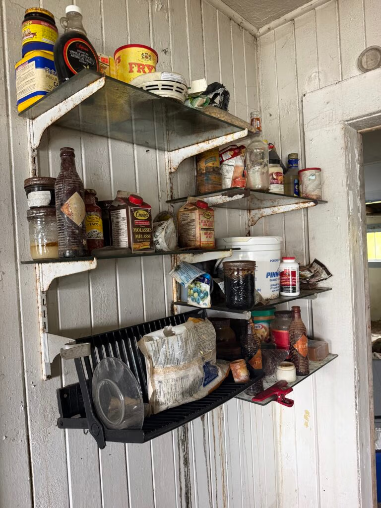
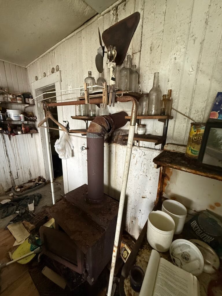
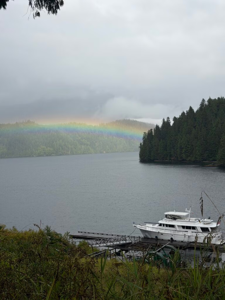
We made our way back down the hill and spent the rest of the afternoon poking through the old buildings at the bottom — pantry shelves still stocked with rusted cans and bottles, an old wood stove sitting exactly where someone left it. There was another couple anchored behind us, the only other boat in the whole bay besides ours. And then, coming down the last stretch of the hill, we got the shot of the day: our boat sitting at anchor far below us, with a full rainbow arched right over the top of it. About as fitting an end to the day as we could have asked for. We got back down, dried off, and there was hot chocolate waiting for us — the good kind of tired that comes from a day that gave you a bear, dolphins, a record depth, a rainstorm, a hike to a hundred-year-old dam, and a rainbow, all before dinner.
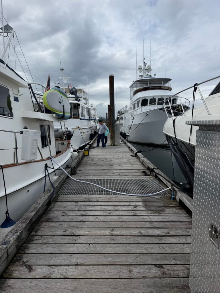
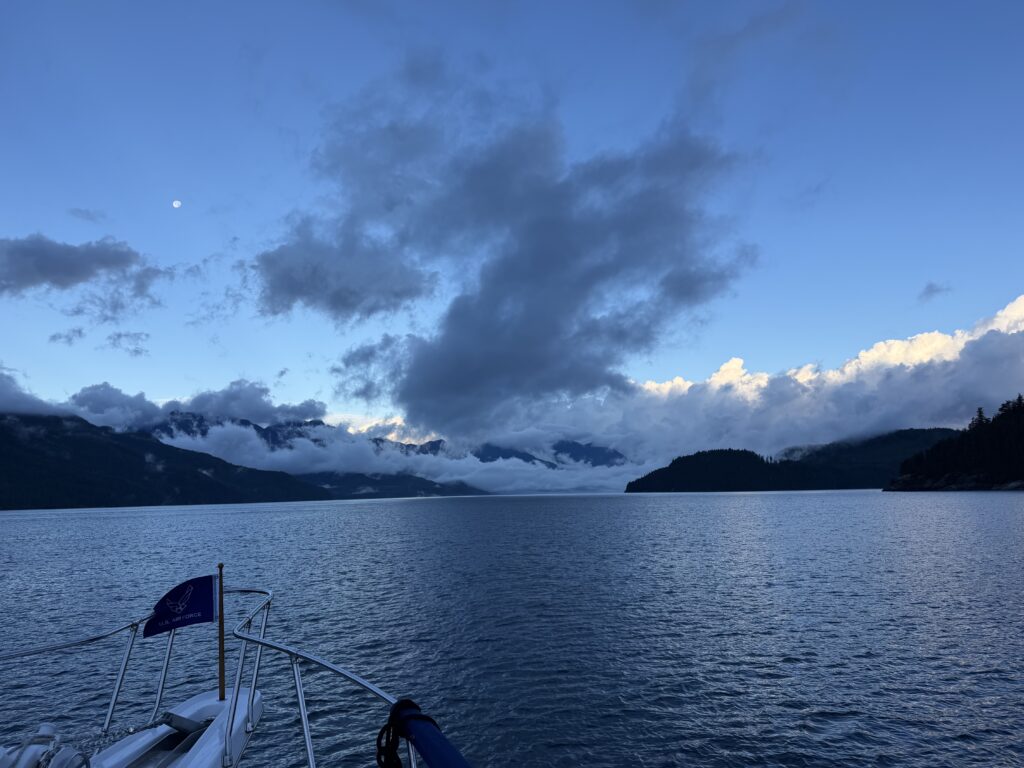
Butedale to Shearwater

Following the Buttle Shuttle
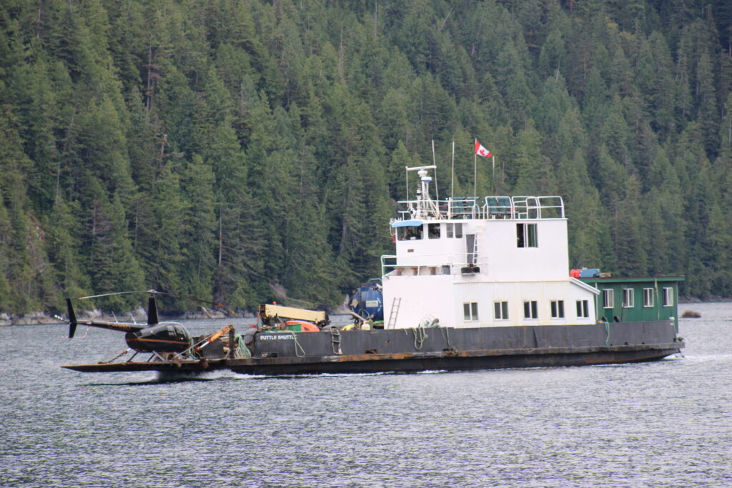
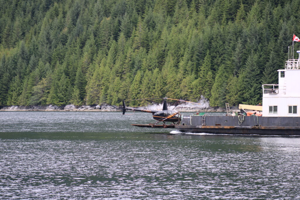
We were awakened early Friday morning by a vessel leaving the same dock where we were tied up. It was the Buttle Shuttle, slipping out of the darkness and fog at about four o’clock.
The vessel was familiar for another reason. Long before becoming the Buttle Shuttle, she was the MV Mill Bay, a small car ferry built by Victoria Machinery Depot in 1956. For 55 years, she carried passengers and vehicles across Saanich Inlet between Mill Bay and Brentwood Bay, a route once known as “The Island’s Most Beautiful Shortcut”. After joining the BC Ferries fleet in 1969 and retiring in 2011, the old ferry was converted into a working vessel capable of beaching and carrying heavy equipment. A large crane was added for dock construction and maintenance.
We left around six-thirty, bound for Shearwater. Rather than returning to Klemtu, a place neither Jennifer nor I particularly cared to revisit, we decided to try a new route through Heikish Narrows.
The narrows must be approached with respect. Timing is everything, and passage is safest around slack tide. Fortunately, the Buttle Shuttle was ahead of us. We watched her enter, then followed her through.
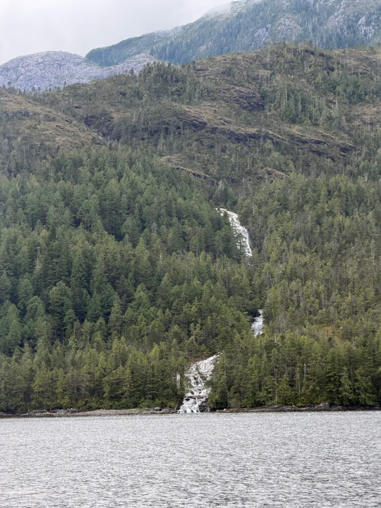
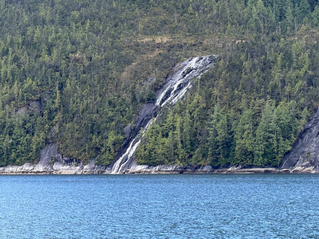
The crossing was smooth and uneventful. Once through the narrows, the country opened around us in steep, rain-soaked walls. Waterfalls streamed down both sides of the channel, silver ribbons spilling from the mountains into the sea. For a time, we continued in the wake of the old ferry, following a vessel that had already spent nearly seventy years travelling the waters of British Columbia.
Eventually, the Buttle Shuttle turned away on her own course, while we continued south. Even after she disappeared from sight, we could still hear her on the radio, calmly checking in with Prince Rupert Traffic as she moved along the coast.
As we approached Shearwater, the weather changed. A dark wall gathered ahead of us, swallowing the brighter sky. Rain began to fall, and by the time we reached the harbour, the storm was upon us.
We anchored quickly, lowered the tender from the roof and headed ashore. Clouds broke and the sun came back out, just to greet us. Before long, we were settled at the bar with a couple of beers and some supper in front of us. After the grey afternoon and hurried arrival, it was a warm and pleasant way to end the day.
Later, we returned to the boat and lifted the tender back onto the roof, preparing for another early departure. Our attention was already turning toward Cape Caution. We were watching the weather closely and considering a run to Fury Bay, where we could wait until conditions were right for the crossing.
It had been a peaceful day despite the storm at its end. The boat had handled perfectly, the narrows had treated us kindly, and for part of the journey we had travelled in the wake of a small but remarkable piece of British Columbia’s maritime history.

Yes that is a helicopter...

Shearwater to....... Fury Cove... no Port McNeill

Into Port McNeill After Dark
We left Shearwater beneath a ceiling of low cloud and mist. The mountains were partly hidden, their upper slopes disappearing into grey, as we passed Bella Bella and began our journey south.
The mood aboard had changed. There was now a sense of familiarity, a quiet confidence that came from everything we had experienced together. The boat no longer felt unfamiliar, and neither did the routines of travelling aboard her. Jennifer and I worked quietly at the lower helm, keeping watch, checking our route and planning our evening at Fury Cove. A stew simmered in the crockpot, filling the boat with the warm, comforting smell of the meal waiting for us.
Fury Cove was seven or eight hours away, but our thoughts were already turning to the following day. Beyond the shelter of the cove lay Cape Caution, a stretch of exposed coast that always demands respect.
As we continued south, we checked the weather again and again. The forecast was deteriorating. Sunday looked worse, Monday worse still, and by Tuesday the conditions would be unsuitable for travel.
The tension began to build.
We decided we would not cross. Then we decided we would. Then we changed our minds again. Around us, other boats were wrestling with the same decision. Eventually, a small flotilla formed, and together we committed to making the passage while the remaining weather window was still open.
We headed toward Cape Caution with two boats ahead of us and several more following behind. We knew we would be cutting it close. The weather appeared to be on our side, but the distance to Port McNeill remained a concern.
Once underway, the crossing was better than we had feared. The seas were about a metre, with the waves spaced eight to ten seconds apart. The boat handled them well, and mile by mile Cape Caution slipped behind us.
But the day was slipping away too.
As we approached Port McNeill, darkness closed around the boat. What had begun as a manageable crossing was becoming something entirely different. We had a reservation at the marina, but by the time we reached the harbour it was close to ten o’clock at night.
We used every piece of technology available to us, including our night-vision system and the Boat Eye 360 cameras. Even so, neither of us could see enough to feel comfortable. A marina that appears straightforward in daylight becomes nearly invisible at night. There are few lights, dark pilings blend into dark water, and empty spaces are difficult to distinguish from occupied slips.
We had a general idea of where we were supposed to dock, but finding the exact location was another matter. Other boaters came out to help, calling directions and pointing toward our assigned space. Following their voices and gestures, we slowly worked our way through the darkness.
At last, we found the slip and eased the boat alongside.
By the time the lines were secured and everything was settled, we were exhausted. We had been underway for more than fifteen hours. What had started as a quiet morning beneath the misty mountains had ended with one of the most difficult dockings we had ever attempted.
We made it safely, but we also made a firm decision: we would never intentionally dock at night again. 
Still, the experience taught us something important. When visibility disappeared and exhaustion set in, Jennifer and I had to depend completely upon each other. We had to communicate, stay calm and work as a team through a situation neither of us wanted to repeat.
It had been a long and difficult day, but we arrived safely. The boat was secure, we were together, and morning would bring light.

Photographs from the Journey
The first photograph looks back toward Bella Bella beneath the low clouds. In the next, a whale’s tail rises from the water directly ahead of us, followed by a closer view of the whale farther along.
Jennifer is pictured at the lower helm, surrounded by the navigation equipment that guided us south. Along the way, we passed a Canadian Coast Guard cutter.
At departure time, the boats gathering to cross Cape Caution formed a small flotilla. Later photographs show a passing BC Ferries vessel and, finally, Cape Caution itself.

Snow Day at Port McNeill

This is the motor yacht Scorpio, a 46m (151ft) full-displacement superyacht built by Delta Marine in Seattle, Washington. The lifebuoy on her hull spells out her name, and the emblem just above it is Delta Marine’s builder logo — our neighbor today…
Build and Specs
Scorpio was delivered in 1996 as one of Delta’s “Delta 151” model yachts, with naval architecture and exterior styling by Delta Design Group and interior design by H. James Hoeferlin (Boat International; YachtBuyer). She’s a composite (GRP) full-displacement hull, 45.7–46.1m long with a 9.3–9.6m beam and about 2.7m draft, powered by twin Caterpillar 3508 diesels (855 hp each) giving a cruising speed around 13 knots and a very long range — roughly 6,000–6,800 nautical miles. She accommodates up to 10 guests in 5 cabins (1 master, 2 VIP, 1 double, 1 twin) with a crew of around 8-10.
History and Names
According to Delta Marine’s own yacht list, she was originally launched as Sally Ann, and has since carried the names D’Natalin, Alibi, and now Scorpio. She underwent a refit around 2003 and again in 2017. She’s been listed for sale a few times over the years, including as recently as February 2023, and Boat International notes she’s one of only two “Delta 151” model yachts ever built.
Port McNeill stands on the traditional territory of the Kwakiutl and ‘Namgis peoples, members of the wider Kwakwaka’wakw cultural group, whose connections to northern Vancouver Island extend back thousands of years.
The harbour was named in 1837 for Captain William Henry McNeill, a Boston-born mariner who worked for the Hudson’s Bay Company and commanded the steamship Beaver. The modern community developed during the 1930s as a forestry settlement, with Pioneer Timber establishing a large logging camp near the present waterfront in 1937. A post office opened in 1938, helping establish Port McNeill as a permanent community.
After the Second World War, the camp gradually became a family town. Roads, schools and community facilities followed, while nearby iron and copper mines helped broaden the local economy. Port McNeill was incorporated as a village on February 18, 1966, and became a town on April 17, 1982.
Forestry remains an important part of its identity, but Port McNeill has also become a service, transportation, aquaculture and tourism centre for northern Vancouver Island and a gateway to Alert Bay, Sointula and the Broughton Archipelago.
 

This is a picture of our backyard in San Antonio.  We are headed back to Ladysmith to fly home so we can get it taken care of… no one hurt just trees down and wind damage… Kami saved the day… Jada survived 

Port McNeill to Blind Channel

Through the Fog to Blind Channel
1/3 The morning began under a light blanket of fog. At about eight o’clock, we slipped away from Port McNeill and pointed the bow south into Johnstone Strait, bound for Blind Channel.
The passage was quiet and uneventful, which is exactly how a day on these waters should be. As we approached the waterways north of Seymour Narrows, we turned to port and followed the narrower channels leading toward West Thurlow Island. Timing is important through these passages, but we reached each narrows at the right moment and passed through without difficulty.
Along the way, we passed a small coastal settlement with houses and places where visiting boaters can stay. Communities like these seem to appear suddenly along the British Columbia coast, tucked between the forest and the water, reminders that people have long made their lives in even the most isolated corners of this country.
Blind Channel itself has a surprisingly busy past. The channel lies within the traditional territory of the Kwakwaka’wakw. A sawmill was operating here by 1910, and by 1918 the community had grown to about 120 people, with Union Steamship vessels making regular freight and passenger stops. Over the years, the property was also home to a cannery, saltery, shingle mill, boatbuilding operation and marine repair facility.
The name may have come from Captain George Vancouver’s failure to notice the narrow passage between East and West Thurlow islands during his 1792 exploration. Although the waterway was later officially named Mayne Passage, the community retained the older and more evocative name of Blind Channel.
This was not my first visit, and it was good to return. Blind Channel has everything a cruising boat could wish for after a day underway: a well-stocked grocery store, welcoming docks and a lovely restaurant known for excellent food. The Richter family has owned and operated the property since 1970, gradually transforming the remains of the old coastal settlement into the marina and resort that stands here today.
Once the boat was settled, we went ashore and followed the nature trail into the woods. Beneath the dense green canopy, we heard woodpeckers working somewhere above us and watched chipmunks darting through the undergrowth.

2/3 The highlight of the walk was Blind Channel’s Big Cedar. This enormous western red cedar is estimated to be more than 800 years old and may be approaching a thousand. Old-time loggers deliberately left it standing, sparing a tree that had already been growing for centuries before Europeans first sailed these waters.

3/3 Standing beside it, Jennifer looked very small indeed. The photographs capture its size, but not quite the feeling of being in its presence. Its great trunk rises from the forest floor like a living monument, carrying within it more than eight centuries of storms, fires, winters and human history.
We ended the day back at the restaurant with an excellent dinner. There we met fellow boaters from Texas aboard “Lone Star.” They have been cruising the Inside Passage and exploring this part of the coast for more than eighteen years, so there were plenty of stories to exchange across the table.
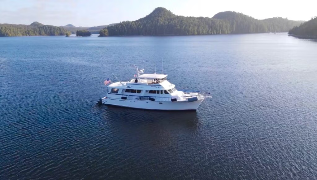
It had been a lovely day: fog in the morning, a well-timed passage through the narrows, a walk among the woodpeckers and ancient trees, and a warm meal shared with new friends.
Now it is time to call it a night. Tomorrow, we head for Campbell River.
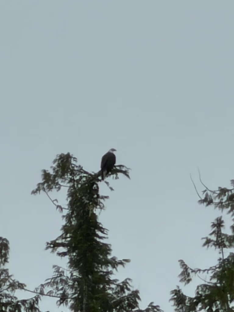
Setting next to the Lone Star, a boat from Texas, Marble Falls

Blind Channel to Campbell River

Orcas on the Way to Campbell River
We woke early at Blind Channel, but we knew there was no need to rush. The tides wouldn’t be right for our departure until around 11:30, so we settled in and enjoyed a scrumptious cinnamon roll while getting a few projects done around the boat.
We also took a morning walk to enjoy a few final sights around Blind Channel. The young swallows that Peter and I had seen a month earlier were still there, now perched along the dock while their parents diligently continued to feed them. A fisherman arrived with a catch of salmon, proving once again that there really are salmon here. Unfortunately, they managed to evade us for the entire trip. Maybe next year.
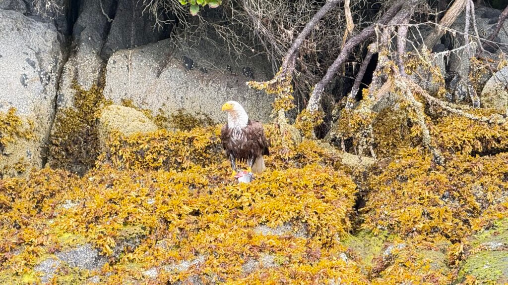
Once the tides were in our favor, we left Blind Channel and made our way into Johnstone Strait, heading toward Seymour Narrows. There was plenty to see along the way, with fishing boats working all around us and signs of clear-cutting visible on the mountainsides.
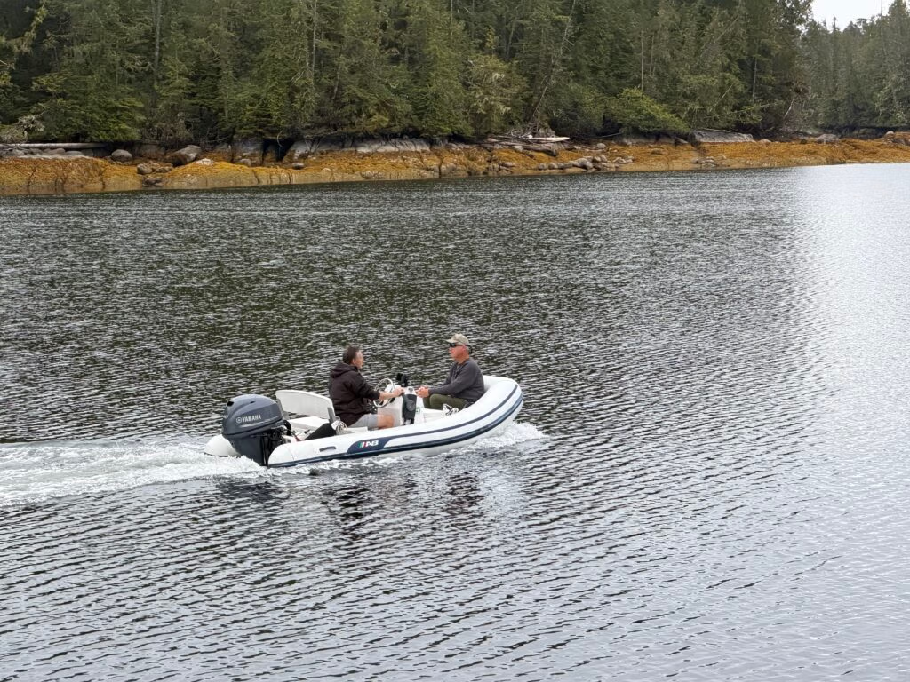
Then, out of nowhere, Jennifer spotted something ahead of us: a pod of orcas coming directly toward the boat.
She hurried out onto the deck while I shut down the engines and let the boat drift. The orcas came right up to our bow. In one of the photographs, you can see Jennifer’s shirt and an orca surfacing immediately in front of the boat. They approached quietly, slipped gracefully beneath us, and then disappeared from sight.
It was an extraordinary encounter and one we will never forget.
We continued toward Campbell River, where the weather became a little rough. Docking was challenging, but we managed it without too much trouble. Once the boat was secured and everything was settled, we changed our clothes and walked up to the restaurant that had been recommended to us, the Riptide Marine Pub.
As this trip draws to a close, we are both thrilled to have accomplished one of our bucket-list adventures. At the same time, we are a little sad that it is nearly over. We are looking forward to getting home and seeing everyone again, although perhaps not the mess waiting for us in the backyard. We can deal with that when we get there.
Tomorrow will be our version of a snow day, a day to remain safely tied to the dock while the weather blows through. Southeasterly winds of 25 to 35 knots are forecast, and we have no desire to be out in that. We’ll sit tight for the day, then head out again on Thursday for Ladysmith, hopefully completing the journey in one long run.

This is today, the one below is the last time we were at Blind Channel
There are still catching Coho
Entering into Seymore Narrows

The Riptide Bar, Football, beer and good food.    On the left is is a mother seal with a baby on the rocks.  

Snow Day at Campbell River

A Weather Day in Campbell River
Today, the weather made the decision for us. With rain pelting the windows and strong winds sweeping through Campbell River, we stayed safely tied up at the marina.
Our boat was moored at the far end of the dock, giving us a perfect view of the ferry as it traveled back and forth throughout the day. Outside, the rain fell steadily, the wind howled, and the boat rocked gently from side to side against its lines.
Jennifer spent most of the day working, while I settled into the slower rhythm of an unexpected day ashore. We eventually ventured out for a little while and found a welcoming place to enjoy a beer before returning to the warmth of the boat.
In many ways, I enjoy days like this. The weather may be cold, wet, and miserable outside, but that only makes it feel better to be safe and warm inside, listening to the storm pass around us.
Tomorrow, weather permitting, we’ll leave Campbell River and begin making our way toward Ladysmith.

Cambell River to Ladysmith

Season’s End Aboard Aku-Aku II 
Jennifer and I pulled out of Campbell River early this morning, although not nearly as early as we had planned. When I checked the weather at 4:30, the forecast was blunt: gale warnings. Do not go today. So we stayed in bed.  Jennifer checked again around 6:30. Everything had changed. The forecast said we could go.  I jumped out of bed, and within fifteen minutes we had Aku-Aku  underway and were heading south. We are a seasoned crew now.
At first, the water was flat and calm. By the time we reached  Point Smudge, however, the weather had begun to build. The waves rose to a foot, then a foot and a half, and the wind blew directly onto our bow at close to twenty knots.  For a while, we wondered whether we had made the right decision. But we continued south.  Before long, it became clear that we were not the only ones out there. As we approached Nanaimo, the military was conducting operations off our port side. We crept past the familiar city, a place we have visited many times, and reached Dodd Narrows at exactly the right moment.
We slipped through as smoothly as if we had been doing it all our lives.  Seasoned pros.
From there, we continued south toward Ladysmith. As we drew closer, the clouds began to break apart. The sky opened, the sun appeared, and the day became bright and warm.
We entered Ladysmith Harbour and found our new slip, C-36. I backed Aku-Aku in and settled her against the dock on the first attempt.
We quickly went through the familiar arrival routine. Lines secured. Power connected. Gangway down. Then we headed up to the bar for a celebratory beer.
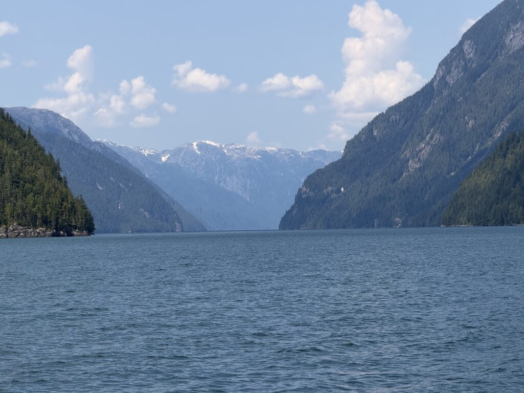
It is difficult to put everything that happened this summer into words. The people who joined us, the places we saw, and the experiences we shared all seemed to arrive at once. The entire season was like drinking from a fire hose, to use an old cliché.
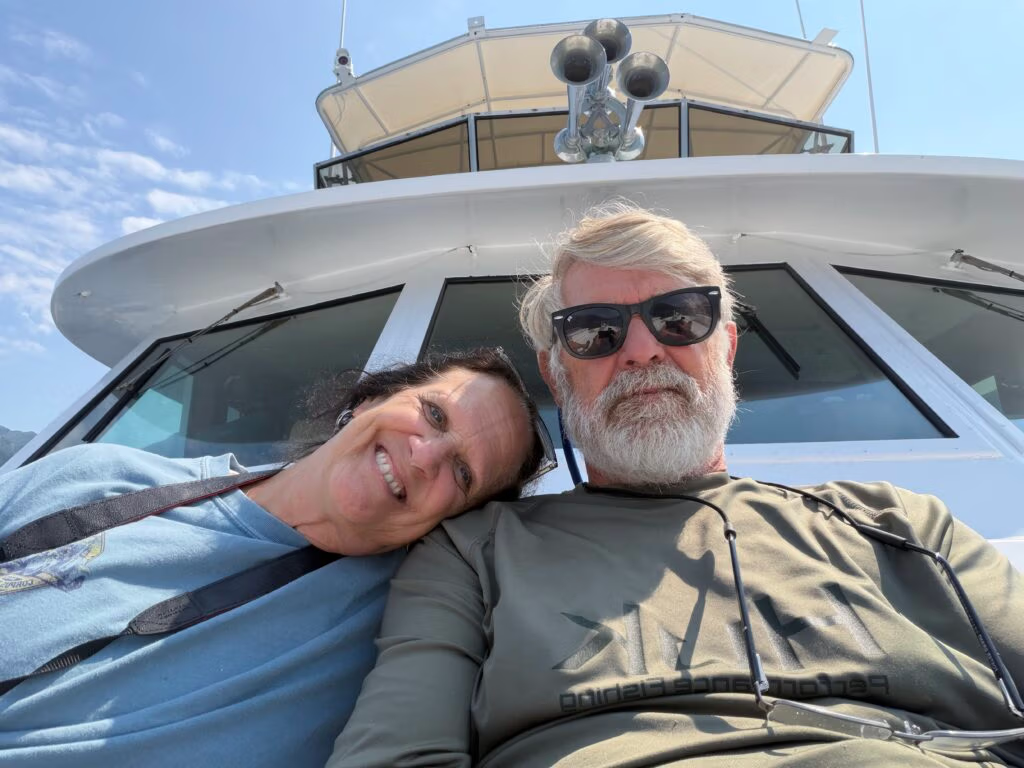
But it was a wonderful summer.
During the journey home, Jennifer prepared chicken paprikash for our evening meal, which happens to be my favourite. As we travelled south, we talked about next year and what might come next.
Some of you may know that I have always reserved the right not to do this again if I did not enjoy it.  The truth is, I do enjoy it.
I enjoy the camaraderie of people coming and going. I enjoy discovering new places, seeing new things, and sharing experiences that we will remember for years.  So, I suppose this is the official announcement:
We are doing it again next year.
We will send out an email before long with the 2027 schedule, including where we expect to be and when. We will definitely start earlier next year, and I hope more of our family and friends will be able to join us.
I am already looking forward to the next season, travelling from Ladysmith north to Alaska and exploring even more of that extraordinary coast.
For now, we bid you farewell from aboard Aku-Aku. 
The lines are secure. The engines are quiet. The journey is complete.
Season 2026 is officially closed. 

Leave a Reply

Your email address will not be published. Required fields are marked *